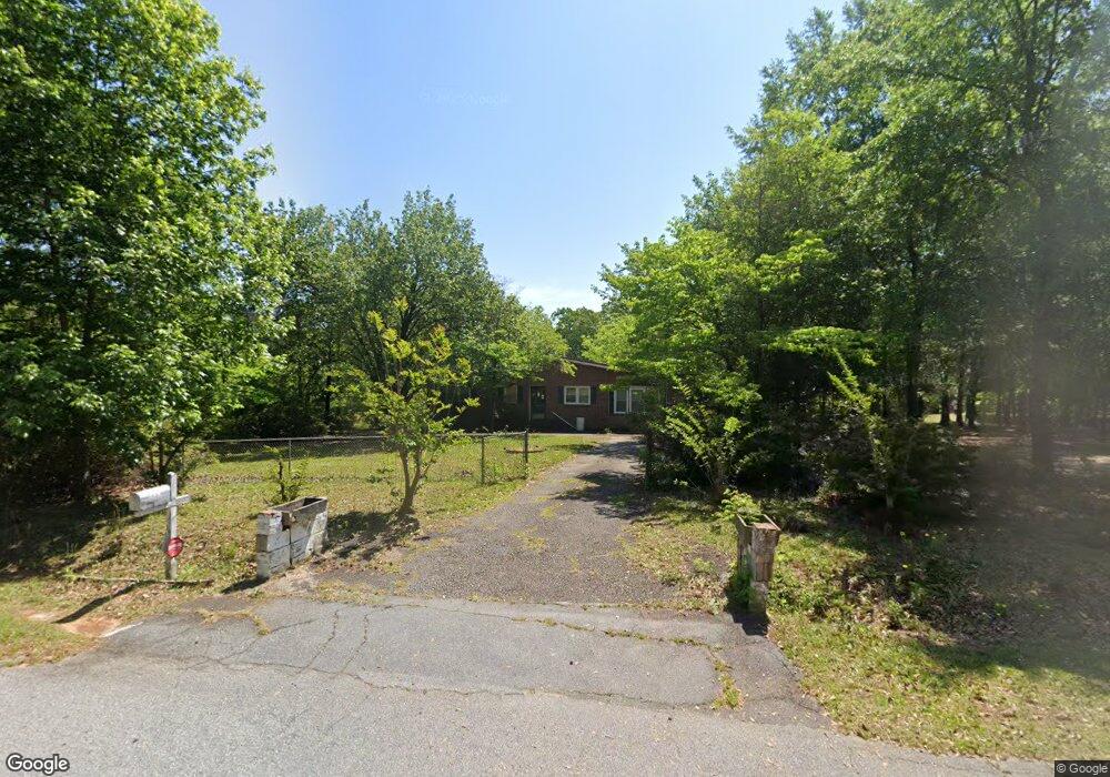
204 Webb St Warner Robins, GA 31093
Estimated Value: $141,000 - $174,000
3
Beds
1
Bath
1,209
Sq Ft
$126/Sq Ft
Est. Value
About This Home
This home is located at 204 Webb St, Warner Robins, GA 31093 and is currently estimated at $152,136, approximately $125 per square foot. 204 Webb St is a home located in Houston County with nearby schools including Centerville Elementary School, Thomson Middle School, and Northside High School.
Ownership History
Date
Name
Owned For
Owner Type
Purchase Details
Closed on
Jun 23, 2023
Sold by
Westfall Robert L
Bought by
Westfall Jennifer
Current Estimated Value
Purchase Details
Closed on
Dec 28, 2007
Sold by
Tunison Lucien and Tunison Verla
Bought by
Westfall Robert L
Home Financials for this Owner
Home Financials are based on the most recent Mortgage that was taken out on this home.
Original Mortgage
$72,000
Interest Rate
6.15%
Mortgage Type
VA
Purchase Details
Closed on
May 1, 1985
Sold by
Jackson T N
Bought by
Tunison Lucien and Tunison Verla
Purchase Details
Closed on
Apr 7, 1965
Bought by
Jackson T N
Create a Home Valuation Report for This Property
The Home Valuation Report is an in-depth analysis detailing your home's value as well as a comparison with similar homes in the area
Home Values in the Area
Average Home Value in this Area
Purchase History
| Date | Buyer | Sale Price | Title Company |
|---|---|---|---|
| Westfall Jennifer | -- | None Listed On Document | |
| Westfall Robert L | $72,000 | None Available | |
| Tunison Lucien | -- | -- | |
| Jackson T N | -- | -- |
Source: Public Records
Mortgage History
| Date | Status | Borrower | Loan Amount |
|---|---|---|---|
| Previous Owner | Westfall Robert L | $72,000 |
Source: Public Records
Tax History
| Year | Tax Paid | Tax Assessment Tax Assessment Total Assessment is a certain percentage of the fair market value that is determined by local assessors to be the total taxable value of land and additions on the property. | Land | Improvement |
|---|---|---|---|---|
| 2025 | $902 | $41,280 | $7,440 | $33,840 |
| 2024 | $892 | $37,280 | $7,440 | $29,840 |
| 2023 | $709 | $31,320 | $6,240 | $25,080 |
| 2022 | $673 | $29,840 | $6,240 | $23,600 |
| 2021 | $554 | $24,800 | $4,920 | $19,880 |
| 2020 | $516 | $23,120 | $3,840 | $19,280 |
| 2019 | $516 | $23,120 | $3,840 | $19,280 |
| 2018 | $516 | $23,120 | $3,840 | $19,280 |
| 2017 | $516 | $23,120 | $3,840 | $19,280 |
| 2016 | $517 | $23,120 | $3,840 | $19,280 |
| 2015 | $517 | $23,120 | $3,840 | $19,280 |
| 2014 | -- | $19,720 | $3,840 | $15,880 |
| 2013 | -- | $19,720 | $3,840 | $15,880 |
Source: Public Records
Map
Nearby Homes
- 210 Webb St
- 918 Collins Ave Unit 36
- 105 Maple Glen Ct
- 106 Maple Glen Ct
- 312 Hickory Glen
- 108 Weaver Rd
- 305 Brantley Rd Unit 14
- 305 Brantley Rd Unit 37
- 305 Brantley Rd Unit 6
- 121 Crestwood Rd
- 207 Cambridge Dr
- 109 Calvin Ct
- 202 Magnolia Glen
- 101 Kent Dr
- 117 Crestwood Ct
- 204 S Cambridge Dr
- 102 Pine Glen Ct
- 118 Ridgewood Dr
- 218 Valencia Cir
- 400 S Cambridge Dr
Your Personal Tour Guide
Ask me questions while you tour the home.