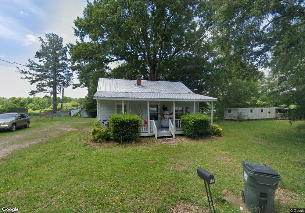
204 Wotton Ave Union Point, GA 30669
Estimated Value: $64,000 - $120,000
2
Beds
1
Bath
984
Sq Ft
$99/Sq Ft
Est. Value
About This Home
This home is located at 204 Wotton Ave, Union Point, GA 30669 and is currently estimated at $97,356, approximately $98 per square foot. 204 Wotton Ave is a home located in Greene County with nearby schools including Greene County High School.
Ownership History
Date
Name
Owned For
Owner Type
Purchase Details
Closed on
Sep 24, 2004
Sold by
Goss William L
Bought by
Mapp Ossie
Current Estimated Value
Purchase Details
Closed on
Apr 23, 1996
Sold by
Harp J B
Bought by
Goss William L
Purchase Details
Closed on
May 12, 1993
Sold by
Dean Ollie E
Bought by
Harp J B
Purchase Details
Closed on
Feb 7, 1991
Sold by
Drake Marshall
Bought by
Dean Ollie E
Purchase Details
Closed on
Jan 10, 1990
Sold by
Drake Tucker
Bought by
Drake Marshall
Purchase Details
Closed on
Jan 1, 1945
Bought by
Drake Tucker
Create a Home Valuation Report for This Property
The Home Valuation Report is an in-depth analysis detailing your home's value as well as a comparison with similar homes in the area
Home Values in the Area
Average Home Value in this Area
Purchase History
| Date | Buyer | Sale Price | Title Company |
|---|---|---|---|
| Mapp Ossie | $27,500 | -- | |
| Goss William L | $20,000 | -- | |
| Harp J B | $8,200 | -- | |
| Dean Ollie E | $6,000 | -- | |
| Drake Marshall | -- | -- | |
| Drake Tucker | -- | -- |
Source: Public Records
Tax History Compared to Growth
Tax History
| Year | Tax Paid | Tax Assessment Tax Assessment Total Assessment is a certain percentage of the fair market value that is determined by local assessors to be the total taxable value of land and additions on the property. | Land | Improvement |
|---|---|---|---|---|
| 2024 | $833 | $26,880 | $2,520 | $24,360 |
| 2023 | $635 | $26,320 | $2,520 | $23,800 |
| 2022 | $591 | $24,360 | $2,520 | $21,840 |
| 2021 | $560 | $22,120 | $2,520 | $19,600 |
| 2020 | $443 | $13,840 | $2,680 | $11,160 |
| 2019 | $456 | $13,840 | $2,680 | $11,160 |
| 2018 | $317 | $13,840 | $2,680 | $11,160 |
| 2017 | $410 | $13,886 | $2,700 | $11,186 |
| 2016 | $425 | $14,404 | $2,700 | $11,704 |
| 2015 | $394 | $14,404 | $2,700 | $11,704 |
| 2014 | $405 | $14,594 | $2,700 | $11,894 |
Source: Public Records
Map
Nearby Homes
- 1041 Hillcrest Dr
- 1180 Moody St
- 202 Veazey St
- 1241 Old Siloam Rd
- 606 Bryan Ave
- 504 Crawfordville Rd
- 0 Woodland Ct Unit 1027434
- 0 Woodland Ct Unit 10543600
- 324 N Rhodes St
- 0 S Rhodes St Unit 10618488
- 215 Hunter St
- 0 Buffalo Lick Rd Unit 10551328
- 1201 Buffalo Lick Rd
- 0 Buffalo Lick Rd Unit 10551325
- 0 Buffalo Lick Rd Unit 10551234
- 0 Washington Hwy Unit 7276060
- 1010 Orear Rd
- 1860 Washington Hwy
- 0 Cato Rd Unit 10525284
- 1251 Brick House Rd
- 202 Wotton Ave
- 208 Wotton Ave
- 207 Wotton Ave
- 200 Wotton Ave
- 0 Wooten Ave Unit 7.7 7421099
- 0 Wooten Ave Unit 7.7 7595779
- 209 Wotton Ave
- 212 Wotton Ave
- 111 Wotton Ave
- 219 S Hilliard St
- 208 S Hilliard St
- 106 Wotton Ave
- 109 Wotton Ave Unit 2
- 109 Wotton Ave
- 206 S Hilliard St
- 4981 Lamb Ave
- 0 S Hilliard St Unit 8393596
- N S Hilliard St Unit Lot A
- N S Hilliard St
- 0 S Hilliard St