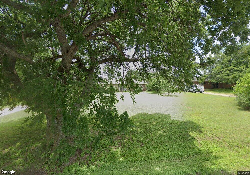
2040 Ashford Ln Midlothian, TX 76065
Estimated Value: $380,945 - $421,000
3
Beds
2
Baths
1,696
Sq Ft
$236/Sq Ft
Est. Value
About This Home
This home is located at 2040 Ashford Ln, Midlothian, TX 76065 and is currently estimated at $400,973, approximately $236 per square foot. 2040 Ashford Ln is a home located in Ellis County with nearby schools including Larue Miller Elementary School and Frank Seale Middle School.
Ownership History
Date
Name
Owned For
Owner Type
Purchase Details
Closed on
May 30, 2012
Sold by
Lock Stephen H and Lock Emily A
Bought by
Stinnett Garrison D and Stinnett Brooke L
Current Estimated Value
Home Financials for this Owner
Home Financials are based on the most recent Mortgage that was taken out on this home.
Original Mortgage
$116,844
Outstanding Balance
$79,712
Interest Rate
3.5%
Mortgage Type
FHA
Estimated Equity
$321,261
Purchase Details
Closed on
May 14, 2008
Sold by
Steele Bonnie A
Bought by
Lock Stephen H and Lock Emily A
Home Financials for this Owner
Home Financials are based on the most recent Mortgage that was taken out on this home.
Original Mortgage
$109,137
Interest Rate
5.89%
Mortgage Type
FHA
Create a Home Valuation Report for This Property
The Home Valuation Report is an in-depth analysis detailing your home's value as well as a comparison with similar homes in the area
Home Values in the Area
Average Home Value in this Area
Purchase History
| Date | Buyer | Sale Price | Title Company |
|---|---|---|---|
| Stinnett Garrison D | -- | None Available | |
| Lock Stephen H | -- | -- |
Source: Public Records
Mortgage History
| Date | Status | Borrower | Loan Amount |
|---|---|---|---|
| Open | Stinnett Garrison D | $116,844 | |
| Previous Owner | Lock Stephen H | $109,137 |
Source: Public Records
Tax History Compared to Growth
Tax History
| Year | Tax Paid | Tax Assessment Tax Assessment Total Assessment is a certain percentage of the fair market value that is determined by local assessors to be the total taxable value of land and additions on the property. | Land | Improvement |
|---|---|---|---|---|
| 2025 | $3,953 | $317,677 | -- | -- |
| 2024 | $3,953 | $288,797 | -- | -- |
| 2023 | $3,953 | $262,543 | $0 | $0 |
| 2022 | $5,347 | $238,675 | $0 | $0 |
| 2021 | $5,134 | $233,610 | $70,000 | $163,610 |
| 2020 | $4,962 | $217,270 | $70,000 | $147,270 |
| 2019 | $4,696 | $179,320 | $0 | $0 |
| 2018 | $4,353 | $166,230 | $35,000 | $131,230 |
| 2017 | $2,821 | $137,360 | $35,000 | $102,360 |
| 2016 | $2,425 | $118,090 | $35,000 | $83,090 |
| 2015 | $1,993 | $117,370 | $35,000 | $82,370 |
| 2014 | $1,993 | $97,310 | $0 | $0 |
Source: Public Records
Map
Nearby Homes
- 2250 Whispering Hills Dr
- 1859 Ashford Ln
- 3420 Sudith Ln
- 1842 Plum Creek Dr
- 3841 Ledgestone Ln
- 3601 Plum Creek Ct
- Lot 1 Tbd Ln
- 1666 Plum Creek Dr
- 3470 Oak Tree Ln
- 3870 Ledgestone Ln
- 3481 Oak Tree Ln
- 2610 Jakes Ct
- 4641 Plainview Rd
- 1817 Sunbeam Ct
- 4218 Bel Air Dr
- 4213 Bel Air Dr
- 4410 Bel Air Dr
- 4414 Bel Air Dr
- 4601 Nomad Dr
- 4418 Bel Air Dr
- 2030 Ashford Ln
- 2050 Ashford Ln
- 2020 Ashford Ln
- 2060 Ashford Ln
- 2010 Ashford Ln
- 2051 Ashford Ln
- 2041 Ashford Ln
- 2070 Ashford Ln
- 3660 Sudith Ln
- 3840 Sudith Ln
- 2201 Ashford Ln
- 4000 Sudith Ln
- 3661 Sudith Ln
- 3650 Sudith Ln
- 2211 Ashford Ln
- 3641 Whispering Hills Ct
- 4010 Sudith Ln
- 3831 Sudith Ln
- 3640 Sudith Ln
- 1887 Ashford Ln
