2040 Brookside Ct Frankfort, IN 46041
Frankfort AreaEstimated Value: $277,716 - $303,000
About This Home
This home is located at 2040 Brookside Ct, Frankfort, IN 46041 and is currently estimated at $288,179, approximately $194 per square foot. 2040 Brookside Ct is a home with nearby schools including Frankfort Senior High School and Frankfort Covenant Academy.
Ownership History
We collect this data history from publicly available records. To have your information removed, we recommend requesting removal directly through your county’s website.
Purchase Details
Purchase Details
Purchase Details
Home Values in the Area
Average Home Value in this Area
Purchase History
We collect this data history from publicly available records. To have your information removed, we recommend requesting removal directly through your county’s website.
| Date | Buyer | Sale Price | Title Company |
|---|---|---|---|
| $140,000 | Moore Title & Escrow | ||
| $140,000 | Moore Title & Escrow | ||
| -- | None Available | ||
| -- | None Available |
Tax History
We collect this data history from publicly available records. To have your information removed, we recommend requesting removal directly through your county’s website.
| Year | Tax Paid | Tax Assessment Tax Assessment Total Assessment is a certain percentage of the fair market value that is determined by local assessors to be the total taxable value of land and additions on the property. | Land | Improvement |
|---|---|---|---|---|
| 2025 | $2,161 | $216,100 | $29,900 | $186,200 |
| 2024 | $1,935 | $174,100 | $29,900 | $144,200 |
| 2023 | $2,025 | $175,600 | $29,900 | $145,700 |
| 2022 | $1,991 | $177,200 | $29,900 | $147,300 |
| 2021 | $1,067 | $97,200 | $29,900 | $67,300 |
| 2020 | $1,101 | $97,200 | $29,900 | $67,300 |
| 2019 | $1,111 | $97,900 | $29,900 | $68,000 |
| 2018 | $1,342 | $97,900 | $29,900 | $68,000 |
| 2017 | $605 | $25,200 | $25,200 | $0 |
| 2016 | $612 | $25,200 | $25,200 | $0 |
| 2014 | $10 | $500 | $500 | $0 |
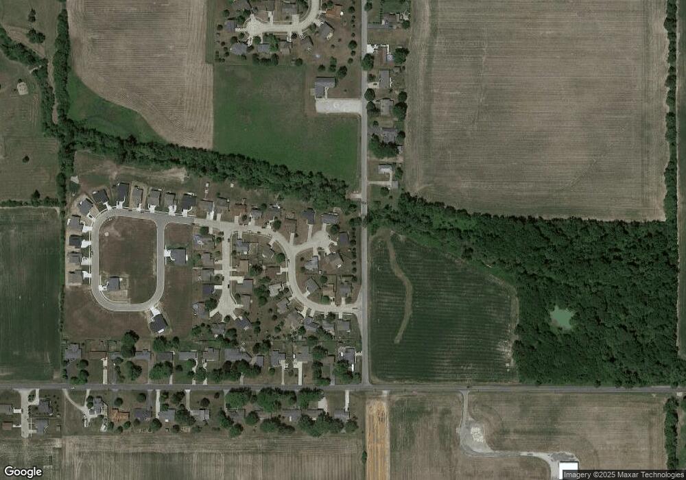
Map
- 2031 Brookside Ct
- 2030 Brookside Ct
- 2015 Brookside Ct
- 2016 Brookside Ct
- 2048 Southridge Dr
- 2034 Southridge Dr
- 2012 Southridge Dr
- 2000 Southridge Dr
- 1659 S Maish Rd
- 1951 Southridge Dr
- 1948 Southridge Dr
- 2001 Southridge Dr
- 2049 Southridge Dr
- 2033 Southridge Dr
- 2005 Southridge Dr
- 2021 Southridge Dr
- 1934 Southridge Dr
- 1927 Southridge Dr
- 2013 Southridge Dr
- 2009 Southridge Dr
Ask me questions while you tour the home.