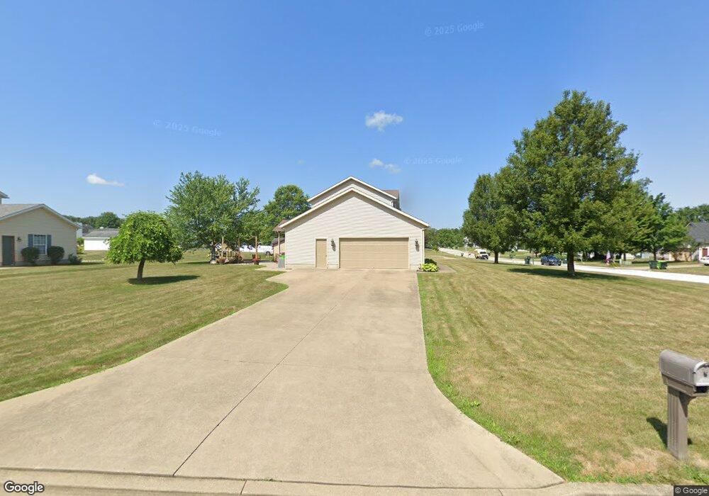
2040 Crestwood St Alliance, OH 44601
Estimated Value: $304,775 - $347,000
3
Beds
3
Baths
1,800
Sq Ft
$182/Sq Ft
Est. Value
About This Home
This home is located at 2040 Crestwood St, Alliance, OH 44601 and is currently estimated at $328,444, approximately $182 per square foot. 2040 Crestwood St is a home located in Stark County with nearby schools including Marlington High School and Regina Coeli/St Joseph School.
Ownership History
Date
Name
Owned For
Owner Type
Purchase Details
Closed on
Feb 19, 2003
Sold by
Miller Thomas E and Miller Sherry L
Bought by
Gerber Christon F and Gerber Heather L
Current Estimated Value
Home Financials for this Owner
Home Financials are based on the most recent Mortgage that was taken out on this home.
Original Mortgage
$129,600
Outstanding Balance
$55,949
Interest Rate
6.06%
Estimated Equity
$272,495
Purchase Details
Closed on
Jul 31, 1997
Sold by
Stilwell Warren
Bought by
Miller Thomas E and Miller Sherry L
Home Financials for this Owner
Home Financials are based on the most recent Mortgage that was taken out on this home.
Original Mortgage
$106,320
Interest Rate
7.71%
Mortgage Type
New Conventional
Purchase Details
Closed on
Dec 13, 1996
Sold by
Westwood Properties
Bought by
Stilwell Warren
Create a Home Valuation Report for This Property
The Home Valuation Report is an in-depth analysis detailing your home's value as well as a comparison with similar homes in the area
Home Values in the Area
Average Home Value in this Area
Purchase History
| Date | Buyer | Sale Price | Title Company |
|---|---|---|---|
| Gerber Christon F | $162,000 | -- | |
| Miller Thomas E | $132,900 | -- | |
| Stilwell Warren | $19,500 | -- |
Source: Public Records
Mortgage History
| Date | Status | Borrower | Loan Amount |
|---|---|---|---|
| Open | Gerber Christon F | $129,600 | |
| Closed | Miller Thomas E | $106,320 | |
| Closed | Gerber Christon F | $16,200 |
Source: Public Records
Tax History Compared to Growth
Tax History
| Year | Tax Paid | Tax Assessment Tax Assessment Total Assessment is a certain percentage of the fair market value that is determined by local assessors to be the total taxable value of land and additions on the property. | Land | Improvement |
|---|---|---|---|---|
| 2025 | -- | $94,720 | $24,050 | $70,670 |
| 2024 | -- | $94,720 | $24,050 | $70,670 |
| 2023 | $2,240 | $70,600 | $18,340 | $52,260 |
| 2022 | $2,248 | $70,600 | $18,340 | $52,260 |
| 2021 | $2,256 | $70,600 | $18,340 | $52,260 |
| 2020 | $2,206 | $61,710 | $15,930 | $45,780 |
| 2019 | $2,189 | $61,710 | $15,930 | $45,780 |
| 2018 | $2,192 | $61,710 | $15,930 | $45,780 |
| 2017 | $1,908 | $53,980 | $12,780 | $41,200 |
| 2016 | $1,838 | $51,980 | $12,780 | $39,200 |
| 2015 | $1,841 | $51,980 | $12,780 | $39,200 |
| 2014 | $1,925 | $49,780 | $12,220 | $37,560 |
| 2013 | $963 | $49,780 | $12,220 | $37,560 |
Source: Public Records
Map
Nearby Homes
- 2081 Marwood Cir
- 1430 Westwood Ave
- 0 S Sawburg Ave Unit 5113457
- 2371 Ansley St Unit 2371
- 2377 Ansley St Unit 2377
- 8630 Schubert Ave NE
- 2050 Federal Ave
- 1201 Overlook Dr
- 0 W Main St Unit 5090123
- 2220 Western Ave
- 2112 Blenheim Ave
- 0 Easton St NE
- 970 Kingsway St
- 2851 Patriots Path Unit 3D
- 1321 Parkway Blvd
- 2435 Queensbury Rd
- 884 W College Rd
- 896 Parkway Blvd
- 1515 S Rockhill Ave
- 738 Kingsway St
- 1511 Northwood Ave
- 2050 Crestwood St
- 1521 Northwood Ave
- 2030 Crestwood St
- 2041 Crestwood St
- 2060 Crestwood St
- 2031 Crestwood St
- 2051 Crestwood St
- 1510 Northwood Ave
- 2021 Crestwood St
- 2051 Marwood Cir
- 1531 Northwood Ave
- 2061 Crestwood St
- 2061 Marwood Cir
- 1520 Northwood Ave
- 2011 Crestwood St
- 2020 Crestwood St
- 2071 Crestwood St
- 2071 Marwood Cir
- 2056 Overcrest St