2040 Lone Wolf Ln Unit 128 Canton, MI 48188
Estimated Value: $290,144 - $311,000
2
Beds
3
Baths
1,385
Sq Ft
$217/Sq Ft
Est. Value
About This Home
This home is located at 2040 Lone Wolf Ln Unit 128, Canton, MI 48188 and is currently estimated at $300,536, approximately $216 per square foot. 2040 Lone Wolf Ln Unit 128 is a home located in Wayne County with nearby schools including Canton High School, Salem High School, and Plymouth High School.
Ownership History
Date
Name
Owned For
Owner Type
Purchase Details
Closed on
May 25, 2012
Sold by
Collins Sherika Omessa
Bought by
Collins Nathan Lamont
Current Estimated Value
Purchase Details
Closed on
Jun 30, 2011
Sold by
Hochrein Kurt and Hochrein Heidi
Bought by
Collins Sherika O
Purchase Details
Closed on
Nov 10, 2004
Sold by
Monterosso Dominic D and Monterosso Dominic David
Bought by
Hochrein Kurt
Create a Home Valuation Report for This Property
The Home Valuation Report is an in-depth analysis detailing your home's value as well as a comparison with similar homes in the area
Home Values in the Area
Average Home Value in this Area
Purchase History
| Date | Buyer | Sale Price | Title Company |
|---|---|---|---|
| Collins Nathan Lamont | -- | None Available | |
| Collins Sherika O | $100,000 | Attorneys Title Agency Llc | |
| Hochrein Kurt | $192,000 | Multiple |
Source: Public Records
Tax History Compared to Growth
Tax History
| Year | Tax Paid | Tax Assessment Tax Assessment Total Assessment is a certain percentage of the fair market value that is determined by local assessors to be the total taxable value of land and additions on the property. | Land | Improvement |
|---|---|---|---|---|
| 2025 | $1,289 | $131,800 | $0 | $0 |
| 2024 | $1,289 | $111,300 | $0 | $0 |
| 2023 | $1,229 | $106,100 | $0 | $0 |
| 2022 | $2,762 | $97,900 | $0 | $0 |
| 2021 | $3,274 | $95,500 | $0 | $0 |
| 2020 | $3,261 | $93,500 | $0 | $0 |
| 2019 | $3,238 | $88,900 | $0 | $0 |
| 2018 | $1,045 | $86,240 | $0 | $0 |
| 2017 | $4,088 | $82,600 | $0 | $0 |
| 2016 | $3,085 | $83,400 | $0 | $0 |
| 2015 | $5,740 | $73,630 | $0 | $0 |
| 2013 | $5,560 | $59,430 | $0 | $0 |
| 2010 | -- | $61,280 | $31,000 | $30,280 |
Source: Public Records
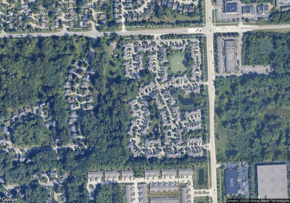
Map
Nearby Homes
- 41481 Cumberland Dr
- 41441 Cumberland Dr
- 2435 S Haggerty Rd
- 2006 S Lilley Rd
- 41928 Old Bridge Rd
- 1803 Pinecroft Dr Unit 171
- 2322 Arcadia Dr Unit 254
- 2340 S Lilley Rd
- 40488 Glen Eagle Ln Unit 75
- 1530 Fairfax Dr
- 42272 Beechwood Ct
- 2855 Tall Oak Ln
- 000 S Lotz Rd
- 2098 Preserve Cir W Unit 80
- 2942 Tall Oak Ln
- 42384 Beechwood Ct
- 41567 SiMcOe Dr
- 1913 Pebble Creek Dr
- 1834 Maple Park Dr W Unit 9
- 41191 Southwind Dr
- 2018 Lone Wolf Ln
- 2062 Lone Wolf Ln Unit 127
- 2084 Lone Wolf Ln
- 2041 Lone Wolf Ln
- 2063 Lone Wolf Ln Unit Bldg-Unit
- 2063 Lone Wolf Ln
- 2063 Lone Wolf Ln Unit 124
- 41543 White Tail Ln
- 0 Lone Wolf Ln
- 2085 Lone Wolf Ln
- 2019 Lone Wolf Ln
- 2019 Lone Wolf Ln Unit 122
- 2128 Lone Wolf Ln
- 2008 Lone Wolf Ln
- 2008 Lone Wolf Ln Unit 13
- 41607 White Tail Ln
- 41703 White Tail Ln Unit 147
- 41711 White Tail Ln Unit 148
- 41693 White Tail Ln
- 41687 White Tail Ln