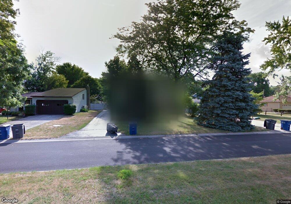
2040 Woonsocket Rd Toledo, OH 43615
Reynolds Corners NeighborhoodEstimated Value: $160,000 - $204,000
4
Beds
2
Baths
1,554
Sq Ft
$122/Sq Ft
Est. Value
About This Home
This home is located at 2040 Woonsocket Rd, Toledo, OH 43615 and is currently estimated at $188,939, approximately $121 per square foot. 2040 Woonsocket Rd is a home located in Lucas County with nearby schools including Hawkins Elementary School, Rogers High School, and St. Benedict Catholic School.
Ownership History
Date
Name
Owned For
Owner Type
Purchase Details
Closed on
Nov 1, 2016
Sold by
Cluckey Michael L
Bought by
Patricia A Cluckey
Current Estimated Value
Create a Home Valuation Report for This Property
The Home Valuation Report is an in-depth analysis detailing your home's value as well as a comparison with similar homes in the area
Home Values in the Area
Average Home Value in this Area
Purchase History
| Date | Buyer | Sale Price | Title Company |
|---|---|---|---|
| Patricia A Cluckey | -- | -- |
Source: Public Records
Tax History
| Year | Tax Paid | Tax Assessment Tax Assessment Total Assessment is a certain percentage of the fair market value that is determined by local assessors to be the total taxable value of land and additions on the property. | Land | Improvement |
|---|---|---|---|---|
| 2025 | -- | $46,620 | $7,105 | $39,515 |
| 2024 | $1,465 | $46,620 | $7,105 | $39,515 |
| 2023 | $2,422 | $36,435 | $6,090 | $30,345 |
| 2022 | $2,396 | $36,435 | $6,090 | $30,345 |
| 2021 | $2,529 | $36,435 | $6,090 | $30,345 |
| 2020 | $2,388 | $30,100 | $5,040 | $25,060 |
| 2019 | $2,324 | $30,100 | $5,040 | $25,060 |
| 2018 | $2,238 | $30,100 | $5,040 | $25,060 |
| 2017 | $2,179 | $26,985 | $5,075 | $21,910 |
| 2016 | $2,149 | $77,100 | $14,500 | $62,600 |
| 2015 | $2,158 | $77,100 | $14,500 | $62,600 |
| 2014 | $1,697 | $26,990 | $5,080 | $21,910 |
| 2013 | $1,697 | $26,990 | $5,080 | $21,910 |
Source: Public Records
Map
Nearby Homes
- 4936 Fleet Rd
- 1923 Eileen Rd
- 2009 Willowhill Ln
- 1909 Atwood Rd
- 1933 Grecourt Dr
- 4923 Cranston Dr
- 4705 W Bancroft St
- 2208 Valley Brook Dr
- 4515 W Bancroft St Unit 28
- 4521 W Bancroft St
- 4519 W Bancroft St Unit 39
- 5041 Ancil Rd
- 3 Stableside S
- 15 Stableside N
- 5001 Golden Rd
- 4243 W Bancroft St Unit 205w
- 2203 Innisbrook Rd
- 710 Hilltop Ln
- 4309 Brookside Rd
- 4057 Hillandale Rd
- 2036 Woonsocket Rd
- 2048 Woonsocket Rd
- 2041 Eileen Rd
- 2030 Woonsocket Rd
- 2047 Eileen Rd
- 2035 Eileen Rd
- 2060 Woonsocket Rd
- 2053 Eileen Rd
- 2029 Eileen Rd
- 4912 Fleet Rd
- 2059 Eileen Rd
- 2023 Eileen Rd
- 2066 Woonsocket Rd
- 2045 Woonsocket Rd
- 2053 Woonsocket Rd
- 2065 Eileen Rd
- 2104 Woonsocket Rd
- 2061 Woonsocket Rd
- 2017 Eileen Rd
- 4920 Fleet Rd
Your Personal Tour Guide
Ask me questions while you tour the home.