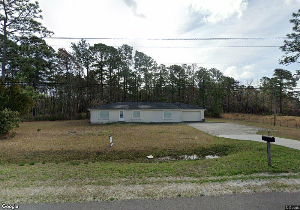
20400 Us Highway 17 N Hampstead, NC 28443
Estimated Value: $254,000 - $390,000
3
Beds
1
Bath
1,800
Sq Ft
$170/Sq Ft
Est. Value
About This Home
This home is located at 20400 Us Highway 17 N, Hampstead, NC 28443 and is currently estimated at $306,813, approximately $170 per square foot. 20400 Us Highway 17 N is a home located in Pender County with nearby schools including Topsail Elementary School, Topsail Middle School, and Topsail High School.
Ownership History
Date
Name
Owned For
Owner Type
Purchase Details
Closed on
Apr 25, 2022
Sold by
Cape Fear Contracting & Development Llc
Bought by
Freeman Robert E
Current Estimated Value
Purchase Details
Closed on
Feb 1, 2001
Bought by
Cape Fear Contracting & Development Llc
Create a Home Valuation Report for This Property
The Home Valuation Report is an in-depth analysis detailing your home's value as well as a comparison with similar homes in the area
Home Values in the Area
Average Home Value in this Area
Purchase History
| Date | Buyer | Sale Price | Title Company |
|---|---|---|---|
| Freeman Robert E | -- | Boyles & Callihan Pllc | |
| Cape Fear Contracting & Development Llc | $49,000 | -- |
Source: Public Records
Tax History Compared to Growth
Tax History
| Year | Tax Paid | Tax Assessment Tax Assessment Total Assessment is a certain percentage of the fair market value that is determined by local assessors to be the total taxable value of land and additions on the property. | Land | Improvement |
|---|---|---|---|---|
| 2024 | $1,167 | $104,521 | $22,706 | $81,815 |
| 2023 | $1,167 | $104,521 | $22,706 | $81,815 |
| 2022 | $1,090 | $104,521 | $22,706 | $81,815 |
| 2021 | $1,090 | $104,521 | $22,706 | $81,815 |
| 2020 | $1,090 | $104,521 | $22,706 | $81,815 |
| 2019 | $1,722 | $180,361 | $72,000 | $108,361 |
| 2018 | $946 | $83,156 | $13,750 | $69,406 |
| 2017 | $946 | $83,156 | $13,750 | $69,406 |
| 2016 | $937 | $83,156 | $13,750 | $69,406 |
| 2015 | $902 | $83,156 | $13,750 | $69,406 |
| 2014 | $730 | $83,156 | $13,750 | $69,406 |
| 2013 | -- | $83,156 | $13,750 | $69,406 |
| 2012 | -- | $83,156 | $13,750 | $69,406 |
Source: Public Records
Map
Nearby Homes
- 20689 U S 17
- 17 Hwy Off
- 20808 US Highway 17 N
- 74 W Weatherbee Way
- 0 Us 17 Hwy Unit 100515012
- 210 W Weatherbee Way
- 81 N Bandwheel Way
- 47 N Bandwheel Way
- 27 N Bandwheel Way
- 19 S Bandwheel Way
- 44 S Bandwheel Way
- 28 S Bandwheel Way
- 202 Sloop Point Rd
- 229 S Bandwheel Way
- 11 W Kiln Rd
- 1108 Terraces Ln
- 619 Outrigger Ct
- 609 Outrigger Ct
- 296 Aurora Place
- 63 Royal Tern Dr
- 20460 Us Highway 17
- 20480 Us Highway 17 N
- 20510 Us Highway 17
- 20 Fuller Ln
- 0 Fuller Ln
- 80 Fuller Ln
- 110 Fuller Ln
- 120 Fuller Ln
- 20530 Us Highway 17 N
- 20515 Us Highway 17 N
- 1.0 Acres Us Highway 17
- 20560 Us Highway 17
- 20560 Us Highway 17 N
- 115 J W Acres Ln
- 20255 U S 17
- .85 Acres Us Highway 17
- 20581 Us Highway 17
- .3 Acres Union Bethel Rd
- 66 Union Bethel Rd
- 75 Catherines Aly