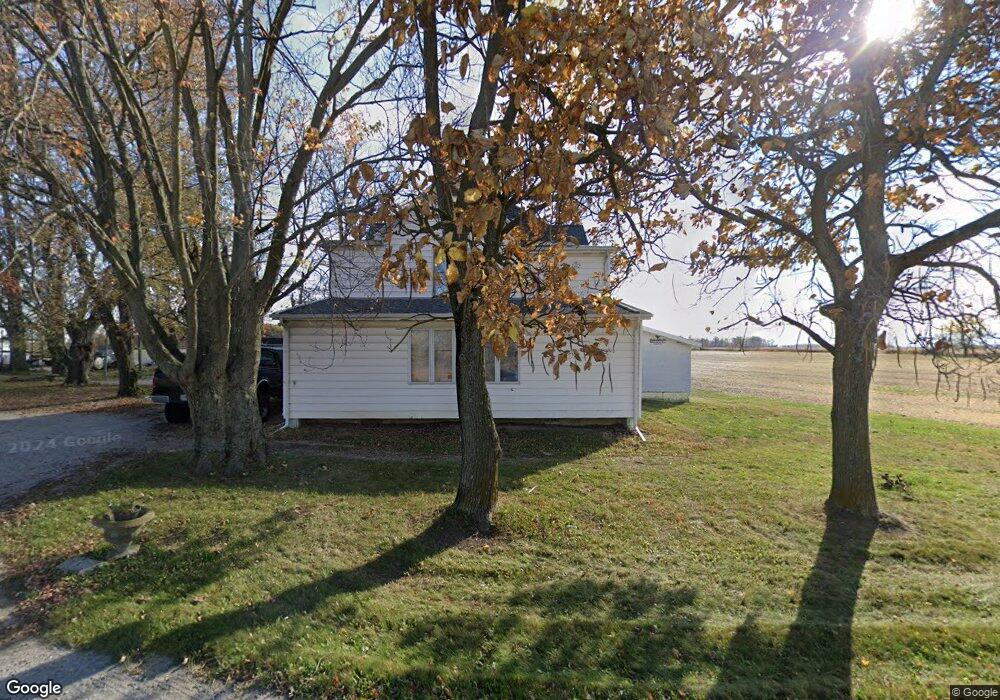
20404 State Route 501 Wapakoneta, OH 45895
Estimated Value: $120,584 - $367,000
3
Beds
1
Bath
3,056
Sq Ft
$77/Sq Ft
Est. Value
About This Home
This home is located at 20404 State Route 501, Wapakoneta, OH 45895 and is currently estimated at $236,396, approximately $77 per square foot. 20404 State Route 501 is a home located in Auglaize County with nearby schools including Cridersville Elementary School, Wapakoneta High School, and Wapakoneta Middle School.
Ownership History
Date
Name
Owned For
Owner Type
Purchase Details
Closed on
Oct 22, 2020
Sold by
Moore Carolyn F and Moore Carolyn F
Bought by
Hemleben Michael B and Hemleben Bretta L
Current Estimated Value
Purchase Details
Closed on
Aug 7, 2015
Sold by
Hemleben Theodore E
Bought by
Moore James R and Moore Carolyn F
Home Financials for this Owner
Home Financials are based on the most recent Mortgage that was taken out on this home.
Original Mortgage
$49,000
Interest Rate
4.01%
Mortgage Type
Future Advance Clause Open End Mortgage
Create a Home Valuation Report for This Property
The Home Valuation Report is an in-depth analysis detailing your home's value as well as a comparison with similar homes in the area
Home Values in the Area
Average Home Value in this Area
Purchase History
| Date | Buyer | Sale Price | Title Company |
|---|---|---|---|
| Hemleben Michael B | $74,700 | None Available | |
| Moore James R | $74,700 | Attorney |
Source: Public Records
Mortgage History
| Date | Status | Borrower | Loan Amount |
|---|---|---|---|
| Previous Owner | Moore James R | $49,000 |
Source: Public Records
Tax History Compared to Growth
Tax History
| Year | Tax Paid | Tax Assessment Tax Assessment Total Assessment is a certain percentage of the fair market value that is determined by local assessors to be the total taxable value of land and additions on the property. | Land | Improvement |
|---|---|---|---|---|
| 2024 | $2,994 | $60,190 | $10,700 | $49,490 |
| 2023 | $2,010 | $60,190 | $10,700 | $49,490 |
| 2022 | $1,558 | $42,570 | $8,920 | $33,650 |
| 2021 | $1,538 | $42,570 | $8,920 | $33,650 |
| 2020 | $799 | $42,571 | $8,922 | $33,649 |
| 2019 | $1,346 | $34,892 | $7,312 | $27,580 |
| 2018 | $1,350 | $34,892 | $7,312 | $27,580 |
| 2017 | $1,341 | $34,892 | $7,312 | $27,580 |
| 2016 | $1,235 | $33,072 | $6,965 | $26,107 |
| 2015 | $913 | $33,072 | $6,965 | $26,107 |
| 2014 | $908 | $33,072 | $6,965 | $26,107 |
| 2013 | $931 | $33,072 | $6,965 | $26,107 |
Source: Public Records
Map
Nearby Homes
- 311 Marcella Ln
- 310 W Main St
- 3650 Redbud Ln
- 2638 Summer Rambo Ct
- 2648 Summer Rambo Ct
- 3680 Yoakam Rd
- 3523 Woodhaven Ln
- 2691 Jonathan Dr
- 2613 Jonathon Dr
- 3495 Woodhaven Ln
- 3648 Hiawatha Trail
- 4268 Blue Spruce Ln
- 2517 Hall Dr
- 18609 County Road 25a
- 212 S Oak St
- 17054 State Route 198
- 137 Caribou Cir
- 4039 Magnolia
- 5290 New Haven Dr
- 4475 Wintergreen Dr