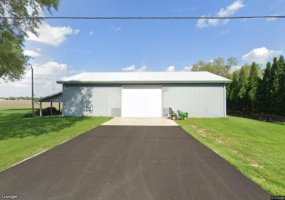
2041 Baker Rd Fremont, OH 43420
Estimated Value: $252,000 - $273,000
3
Beds
1
Bath
1,626
Sq Ft
$160/Sq Ft
Est. Value
About This Home
This home is located at 2041 Baker Rd, Fremont, OH 43420 and is currently estimated at $260,759, approximately $160 per square foot. 2041 Baker Rd is a home located in Sandusky County with nearby schools including Fremont Ross High School, Bishop Hoffman Catholic School - This is St Joe's School now, and St. Joseph School.
Ownership History
Date
Name
Owned For
Owner Type
Purchase Details
Closed on
Jul 23, 2024
Sold by
Lotycz Steven J
Bought by
Lotycz Steven J and Lotycz Bonny S
Current Estimated Value
Purchase Details
Closed on
Dec 20, 2005
Sold by
Lotycz Bonnie S
Bought by
Lotycz Steven J
Home Financials for this Owner
Home Financials are based on the most recent Mortgage that was taken out on this home.
Original Mortgage
$82,500
Interest Rate
6.48%
Mortgage Type
New Conventional
Purchase Details
Closed on
Aug 1, 1988
Bought by
Lotycz Steven J
Create a Home Valuation Report for This Property
The Home Valuation Report is an in-depth analysis detailing your home's value as well as a comparison with similar homes in the area
Home Values in the Area
Average Home Value in this Area
Purchase History
| Date | Buyer | Sale Price | Title Company |
|---|---|---|---|
| Lotycz Steven J | -- | None Listed On Document | |
| Lotycz Steven J | -- | First American | |
| Lotycz Steven J | $500 | -- |
Source: Public Records
Mortgage History
| Date | Status | Borrower | Loan Amount |
|---|---|---|---|
| Previous Owner | Lotycz Steven J | $82,500 |
Source: Public Records
Tax History Compared to Growth
Tax History
| Year | Tax Paid | Tax Assessment Tax Assessment Total Assessment is a certain percentage of the fair market value that is determined by local assessors to be the total taxable value of land and additions on the property. | Land | Improvement |
|---|---|---|---|---|
| 2024 | $2,722 | $69,520 | $12,780 | $56,740 |
| 2023 | $2,722 | $56,490 | $10,360 | $46,130 |
| 2022 | $2,363 | $53,830 | $10,360 | $43,470 |
| 2021 | $2,320 | $53,830 | $10,360 | $43,470 |
| 2020 | $2,165 | $49,210 | $10,360 | $38,850 |
| 2019 | $2,163 | $49,210 | $10,360 | $38,850 |
| 2018 | $2,056 | $49,210 | $10,360 | $38,850 |
| 2017 | $2,006 | $46,660 | $10,360 | $36,300 |
| 2016 | $1,761 | $46,660 | $10,360 | $36,300 |
| 2015 | $1,733 | $46,660 | $10,360 | $36,300 |
| 2014 | $1,790 | $46,280 | $10,470 | $35,810 |
| 2013 | $1,753 | $46,280 | $10,470 | $35,810 |
Source: Public Records
Map
Nearby Homes
- 43 Sun Valley Dr Unit 43
- 2484 Buckland Ave
- 855 Rambo Ln
- 10 Meadowbrook Dr
- 10 Meadowbrook Ln
- 2020 Elm Dr
- 41 Brookview Dr
- 350 Conner Dr
- 822 Upton Rd
- 64 River Run Dr Unit J
- 64 River Run Dr
- 1719 Buckland Ave
- 1818 Finley Dr
- 1970 Morrison Rd
- 135 Briarwood Cir
- 1485 Autumn Woods Dr
- 1832 Myrtle St
- 880 Cleveland Ave
- 1826 Morrison Rd
- 614 3rd Ave