2041 Carol Ave Jessup, MD 20794
Estimated Value: $513,000 - $810,000
--
Bed
3
Baths
3,252
Sq Ft
$197/Sq Ft
Est. Value
About This Home
This home is located at 2041 Carol Ave, Jessup, MD 20794 and is currently estimated at $639,412, approximately $196 per square foot. 2041 Carol Ave is a home located in Anne Arundel County with nearby schools including Jessup Elementary School, Meade Middle School, and Meade High School.
Ownership History
Date
Name
Owned For
Owner Type
Purchase Details
Closed on
Jun 26, 1995
Sold by
Lewis Harold J
Bought by
Gordon Joseph C
Current Estimated Value
Home Financials for this Owner
Home Financials are based on the most recent Mortgage that was taken out on this home.
Original Mortgage
$223,850
Interest Rate
7.82%
Purchase Details
Closed on
Apr 9, 1992
Sold by
Coventry Construction Inc
Bought by
Lewis Harold H
Home Financials for this Owner
Home Financials are based on the most recent Mortgage that was taken out on this home.
Original Mortgage
$120,000
Interest Rate
8.96%
Purchase Details
Closed on
May 30, 1991
Sold by
Garrett James K
Bought by
Coventry Construction Inc
Home Financials for this Owner
Home Financials are based on the most recent Mortgage that was taken out on this home.
Original Mortgage
$64,000
Interest Rate
9.47%
Create a Home Valuation Report for This Property
The Home Valuation Report is an in-depth analysis detailing your home's value as well as a comparison with similar homes in the area
Home Values in the Area
Average Home Value in this Area
Purchase History
| Date | Buyer | Sale Price | Title Company |
|---|---|---|---|
| Gordon Joseph C | $235,675 | -- | |
| Lewis Harold H | $56,000 | -- | |
| Coventry Construction Inc | $120,000 | -- |
Source: Public Records
Mortgage History
| Date | Status | Borrower | Loan Amount |
|---|---|---|---|
| Closed | Gordon Joseph C | $223,850 | |
| Previous Owner | Lewis Harold H | $120,000 | |
| Previous Owner | Coventry Construction Inc | $64,000 |
Source: Public Records
Tax History Compared to Growth
Tax History
| Year | Tax Paid | Tax Assessment Tax Assessment Total Assessment is a certain percentage of the fair market value that is determined by local assessors to be the total taxable value of land and additions on the property. | Land | Improvement |
|---|---|---|---|---|
| 2025 | $5,257 | $645,900 | $221,300 | $424,600 |
| 2024 | $5,257 | $614,633 | $0 | $0 |
| 2023 | $5,101 | $583,367 | $0 | $0 |
| 2022 | $5,769 | $552,100 | $201,300 | $350,800 |
| 2021 | $9,364 | $549,300 | $0 | $0 |
| 2020 | $4,568 | $546,500 | $0 | $0 |
| 2019 | $8,802 | $543,700 | $203,300 | $340,400 |
| 2018 | $5,356 | $528,200 | $0 | $0 |
| 2017 | $4,043 | $512,700 | $0 | $0 |
| 2016 | -- | $497,200 | $0 | $0 |
| 2015 | -- | $466,233 | $0 | $0 |
| 2014 | -- | $435,267 | $0 | $0 |
Source: Public Records
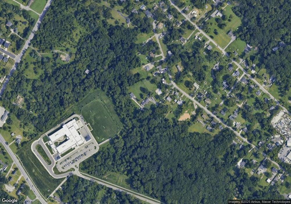
Map
Nearby Homes
- 2044 Orchard Ave
- 2357 Terrapin Crossing
- 7320 Elbridge Ct
- 7951 Silver Oak Rd
- 7926 Silver Oak Rd
- 2727 Amber Crest Rd
- 2642 Shade Branch Rd
- 7611 Elmcrest Rd
- 7808 Union Hill Dr
- 7810 Clark Rd Unit D88
- 2914 Middleham Ct
- 7836 Mine Run Rd
- 7820 Mine Run Rd
- 7911 Mine Run Rd
- 2932 Hebron Ln
- 7652 Telamon Way
- 7841 Chanceford Dr
- 3723 Cedar Mountain Way
- 7812 Patterson Way
- 7560 Newmanstown Dr
- 2043 Citrus Ave
- 2039 Citrus Ave
- 2037 Citrus Ave
- 2045 Citrus Ave
- 2035 Citrus Ave
- 2049 Citrus Ave
- 2033 Citrus Ave
- 2044 Citrus Ave
- 2036 Citrus Ave
- 2046 Citrus Ave
- 2034 Citrus Ave
- 2051 Citrus Ave
- 2031 Citrus Ave
- 2032 Citrus Ave
- 2027 Citrus Ave
- 2031 Orchard Ave
- 2054 Citrus Ave
- 2028 Citrus Ave
- 2025 Citrus Ave
- 2021 Orchard Ave