2041 Derbyshire Dr Macon, GA 31216
Estimated Value: $281,000 - $315,264
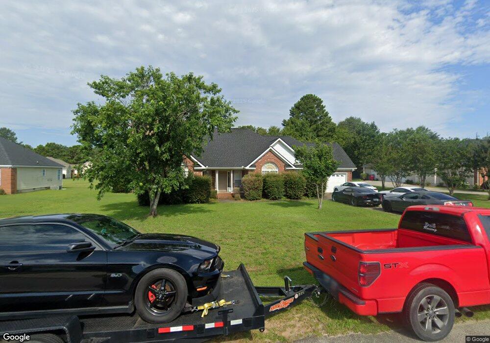
About This Home
This home is located at 2041 Derbyshire Dr, Macon, GA 31216 and is currently estimated at $298,316, approximately $129 per square foot. 2041 Derbyshire Dr is a home located in Bibb County with nearby schools including Heard Elementary School, Rutland Middle School, and Rutland High School.
Ownership History
We collect this data history from publicly available records. To have your information removed, we recommend requesting removal directly through your county’s website.
Purchase Details
Home Financials for this Owner
Home Financials are based on the most recent Mortgage that was taken out on this home.Purchase Details
Purchase Details
Purchase History
We collect this data history from publicly available records. To have your information removed, we recommend requesting removal directly through your county’s website.
| Date | Buyer | Sale Price | Title Company |
|---|---|---|---|
| $186,400 | None Available | ||
| $174,900 | -- | ||
| $256,000 | -- |
Mortgage History
We collect this data history from publicly available records. To have your information removed, we recommend requesting removal directly through your county’s website.
| Date | Status | Borrower | Loan Amount |
|---|---|---|---|
| Open | $177,080 |
Tax History
We collect this data history from publicly available records. To have your information removed, we recommend requesting removal directly through your county’s website.
| Year | Tax Paid | Tax Assessment Tax Assessment Total Assessment is a certain percentage of the fair market value that is determined by local assessors to be the total taxable value of land and additions on the property. | Land | Improvement |
|---|---|---|---|---|
| 2025 | $2,762 | $119,414 | $18,000 | $101,414 |
| 2024 | $2,735 | $114,707 | $18,000 | $96,707 |
| 2023 | $2,275 | $114,590 | $18,000 | $96,590 |
| 2022 | $2,857 | $89,509 | $10,080 | $79,429 |
| 2021 | $3,135 | $89,509 | $10,080 | $79,429 |
| 2020 | $3,203 | $89,509 | $10,080 | $79,429 |
| 2019 | $2,812 | $78,838 | $10,080 | $68,758 |
| 2018 | $4,241 | $74,734 | $10,080 | $64,654 |
| 2017 | $2,538 | $74,734 | $10,080 | $64,654 |
| 2016 | $2,330 | $74,353 | $10,080 | $64,273 |
| 2015 | $3,299 | $74,353 | $10,080 | $64,273 |
| 2014 | $1,101 | $74,353 | $10,080 | $64,273 |
Map
- 3261 Walden Rd
- 3378 S Walden Rd
- 421 Resting Fawn Place
- 328 Pheasant Run Trail
- 248 Sky Hawk Ln
- 660 Manning Mill
- 6432 Ponderosa Dr
- 4068 Liberty Estates Dr
- 105 Sweetgum Way
- 465 Bob White Rd
- 428 Bob White Rd
- 3150 Holleman Dr
- 116 Sarakay Cir
- 115 Sarakay Cir
- 201 Liberty Trace
- 4136 Sardis Church Rd
- 142 Golden Ocala Blvd
- 405 Stonecrest Ct
- 143 Jabrok Cir
- 6266 Houston Rd
- 2037 Derbyshire Dr
- 234 Wilcoxon Dr
- 2045 Derbyshire Dr
- 230 Wilcoxon Dr
- 111 Wynens Way
- 115 Wynens Way
- 228 Wilcoxon Dr
- 208 Wilcoxon Dr
- 2040 Derbyshire Dr
- 204 Wilcoxon Dr
- 2038 Derbyshire Dr
- 2046 Derbyshire Dr
- 220 Wilcoxon Dr
- 2034 Derbyshire Dr
- 109 Wynens Way
- 2050 Derbyshire Dr
- 2028 Derbyshire Dr
- 2054 Derbyshire Dr
- 114 Wynens Way
- 229 Wilcoxon Dr Unit 4
Ask me questions while you tour the home.