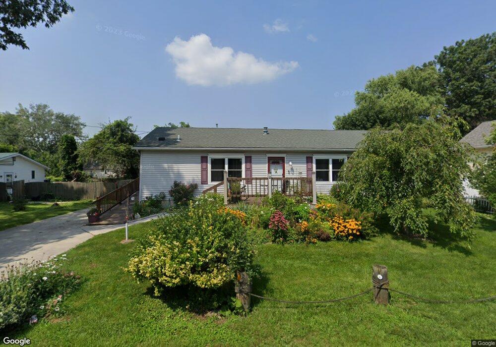
2041 Grange St Oregon, OH 43616
Estimated Value: $154,000 - $182,000
3
Beds
2
Baths
1,512
Sq Ft
$114/Sq Ft
Est. Value
About This Home
This home is located at 2041 Grange St, Oregon, OH 43616 and is currently estimated at $172,217, approximately $113 per square foot. 2041 Grange St is a home located in Lucas County.
Ownership History
Date
Name
Owned For
Owner Type
Purchase Details
Closed on
Sep 9, 2009
Sold by
Fannie Mae
Bought by
Buschmann Lisa M
Current Estimated Value
Home Financials for this Owner
Home Financials are based on the most recent Mortgage that was taken out on this home.
Original Mortgage
$56,000
Outstanding Balance
$36,828
Interest Rate
5.38%
Mortgage Type
New Conventional
Estimated Equity
$135,389
Purchase Details
Closed on
Mar 23, 2009
Sold by
Shelby Rick C
Bought by
Federal National Mortgage Association
Purchase Details
Closed on
Aug 13, 1990
Sold by
Blum Norbert
Create a Home Valuation Report for This Property
The Home Valuation Report is an in-depth analysis detailing your home's value as well as a comparison with similar homes in the area
Home Values in the Area
Average Home Value in this Area
Purchase History
| Date | Buyer | Sale Price | Title Company |
|---|---|---|---|
| Buschmann Lisa M | $70,000 | Ohio Title Corporation | |
| Federal National Mortgage Association | $59,334 | Attorney | |
| -- | $2,000 | -- |
Source: Public Records
Mortgage History
| Date | Status | Borrower | Loan Amount |
|---|---|---|---|
| Open | Buschmann Lisa M | $56,000 |
Source: Public Records
Tax History Compared to Growth
Tax History
| Year | Tax Paid | Tax Assessment Tax Assessment Total Assessment is a certain percentage of the fair market value that is determined by local assessors to be the total taxable value of land and additions on the property. | Land | Improvement |
|---|---|---|---|---|
| 2024 | $902 | $37,450 | $3,780 | $33,670 |
| 2023 | $1,736 | $30,730 | $3,150 | $27,580 |
| 2022 | $1,748 | $30,730 | $3,150 | $27,580 |
| 2021 | $1,761 | $30,730 | $3,150 | $27,580 |
| 2020 | $1,802 | $27,965 | $2,835 | $25,130 |
| 2019 | $1,751 | $27,965 | $2,835 | $25,130 |
| 2018 | $1,698 | $27,965 | $2,835 | $25,130 |
| 2017 | $1,683 | $25,165 | $3,430 | $21,735 |
| 2016 | $1,662 | $71,900 | $9,800 | $62,100 |
| 2015 | $1,652 | $71,900 | $9,800 | $62,100 |
| 2014 | $1,504 | $24,680 | $3,360 | $21,320 |
| 2013 | $1,504 | $24,680 | $3,360 | $21,320 |
Source: Public Records
Map
Nearby Homes
- 2057 Blanche Dr
- 5911 Plympton Cir
- 1830 Lilias Dr
- 5243 Eagles Landing Dr
- 1633 Grand Bay Dr
- 5305 Cedar Point Rd
- 8800 Cedar Point Rd
- 2079 Arkansas St
- 6530 Corduroy Rd
- 140 N Wynn Rd
- 4263 Corduroy Rd
- 234 Avilyn Ln
- 5054 Magnolia Dr
- 5065 Magnolia Dr
- 5047 Noah Ln
- 5037 Easton Dr
- 5033 Easton Dr
- 5029 Easton Dr
- 5025 Easton Dr
- 5040 Easton Dr
- 2049 Grange St
- 2053 Grange St
- 2057 Grange St
- 2040 Grange St
- 2046 Verdun St
- 2044 Grange St
- 2032 Grange St
- 2050 Verdun St
- 2061 Grange St
- 2056 Grange St
- 2043 Ashcroft Dr
- 2042 Verdun
- 2030 Grange St
- 2025 Grange St
- 2060 Grange St
- 2058 Verdun St
- 2065 Grange St
- 2034 Verdun St
- 2069 Grange St
- 2033 Danforth Ln