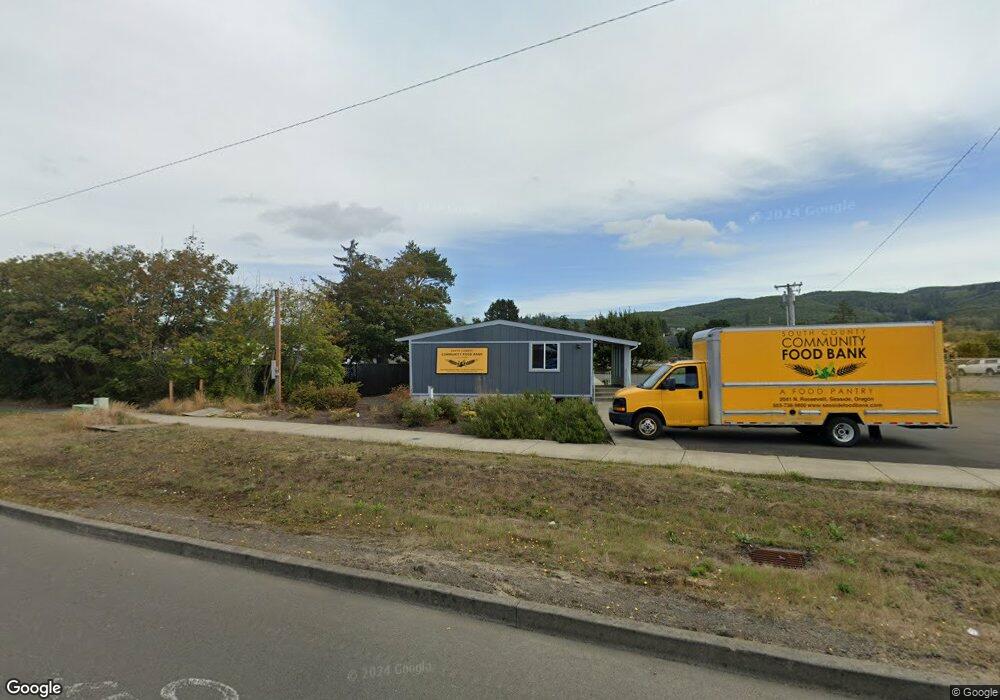
2041 N Roosevelt Dr Seaside, OR 97138
--
Bed
--
Bath
--
Sq Ft
0.37
Acres
About This Home
This home is located at 2041 N Roosevelt Dr, Seaside, OR 97138. 2041 N Roosevelt Dr is a home located in Clatsop County with nearby schools including Seaside High School.
Ownership History
Date
Name
Owned For
Owner Type
Purchase Details
Closed on
Apr 14, 2014
Sold by
Bank Of The Pacific
Bought by
South County Community Food Bank Inc
Home Financials for this Owner
Home Financials are based on the most recent Mortgage that was taken out on this home.
Original Mortgage
$120,000
Interest Rate
4.32%
Mortgage Type
Seller Take Back
Purchase Details
Closed on
Dec 28, 2011
Sold by
Mfe Llc
Bought by
Bank Of The Pacific
Purchase Details
Closed on
Mar 28, 2008
Sold by
Kemmerer R Frank and Mike Miller G
Bought by
Mfe Llc
Create a Home Valuation Report for This Property
The Home Valuation Report is an in-depth analysis detailing your home's value as well as a comparison with similar homes in the area
Home Values in the Area
Average Home Value in this Area
Purchase History
| Date | Buyer | Sale Price | Title Company |
|---|---|---|---|
| South County Community Food Bank Inc | $169,000 | Pacific Title Company | |
| Bank Of The Pacific | $131,000 | None Available | |
| Mfe Llc | $300,000 | Ticor Title Insurance Co |
Source: Public Records
Mortgage History
| Date | Status | Borrower | Loan Amount |
|---|---|---|---|
| Closed | South County Community Food Bank Inc | $120,000 |
Source: Public Records
Tax History Compared to Growth
Tax History
| Year | Tax Paid | Tax Assessment Tax Assessment Total Assessment is a certain percentage of the fair market value that is determined by local assessors to be the total taxable value of land and additions on the property. | Land | Improvement |
|---|---|---|---|---|
| 2024 | -- | $268,803 | -- | -- |
| 2023 | -- | $250,389 | -- | -- |
| 2022 | $0 | $243,097 | $0 | $0 |
| 2021 | $0 | $236,017 | $0 | $0 |
| 2020 | $0 | $229,144 | $0 | $0 |
| 2019 | $0 | $222,471 | $0 | $0 |
| 2018 | $0 | $215,993 | $0 | $0 |
| 2017 | $0 | $209,703 | $0 | $0 |
| 2016 | $0 | $203,596 | $64,503 | $139,093 |
| 2015 | -- | $62,625 | $62,625 | $0 |
| 2014 | -- | $60,801 | $0 | $0 |
| 2013 | $787 | $59,031 | $0 | $0 |
Source: Public Records
Map
Nearby Homes
- 623 Indian Way
- 814 17th Ave
- 790 17th Ave
- 2469 Pine St
- 000 Neawanna St
- 802 25th Ave
- 0 N Wahanna Rd
- 2549 Neawanna St
- 0 Vacant Land Unit 159249124
- 821 13th Ave
- 2624 Neawanna St
- 717 12th Ave
- 739 11th Ave
- 2657 Highway 101 N Unit 42
- 337 16th Ave
- 310 15th Ave
- 845 9th Ave
- 210 15th Ave
- 835 N Holladay Dr
- 815 N King St
- 2051 N Roosevelt Dr
- 2080 N Roosevelt Dr
- 1998 N Wahanna Rd
- 1998 N Wahanna Dr
- 2040 N Wahanna Rd
- 1946 N Wahanna Rd
- 2105 N Holladay Dr
- 1900 N Wahanna Rd
- 2025 N Holladay Dr
- 1901 N Holladay Dr
- 1840 N Wahanna Rd
- 432 N Wahanna Rd
- 2315 N Roosevelt Dr
- 1725 N Roosevelt Dr
- 2335 N Holladay Dr
- 1790 N Wahanna Rd
- 615 Village Terrace
- 2260 N Holladay Dr
- 1800 N Wahanna Rd
- 1720 N Wahanna Rd