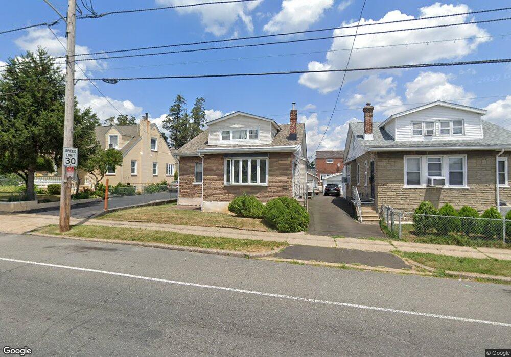
2041 Rhawn St Philadelphia, PA 19152
Rhawnhurst NeighborhoodEstimated Value: $347,000 - $385,000
3
Beds
2
Baths
1,680
Sq Ft
$217/Sq Ft
Est. Value
About This Home
This home is located at 2041 Rhawn St, Philadelphia, PA 19152 and is currently estimated at $364,893, approximately $217 per square foot. 2041 Rhawn St is a home located in Philadelphia County with nearby schools including Farrell Louis H School, Northeast High School, and Tacony Academy Charter School.
Ownership History
Date
Name
Owned For
Owner Type
Purchase Details
Closed on
Apr 25, 2001
Sold by
Scipione Paul J and Scipione Bridget M
Bought by
Bazile Marie Y and Pierre Elie
Current Estimated Value
Home Financials for this Owner
Home Financials are based on the most recent Mortgage that was taken out on this home.
Original Mortgage
$95,000
Outstanding Balance
$35,079
Interest Rate
6.88%
Estimated Equity
$329,814
Purchase Details
Closed on
May 20, 1994
Sold by
Smith Stephen J and Smith Dorothy
Bought by
Scipione Paul J and Scipione Bridget M
Create a Home Valuation Report for This Property
The Home Valuation Report is an in-depth analysis detailing your home's value as well as a comparison with similar homes in the area
Home Values in the Area
Average Home Value in this Area
Purchase History
| Date | Buyer | Sale Price | Title Company |
|---|---|---|---|
| Bazile Marie Y | $130,000 | -- | |
| Scipione Paul J | $9,500 | -- |
Source: Public Records
Mortgage History
| Date | Status | Borrower | Loan Amount |
|---|---|---|---|
| Open | Bazile Marie Y | $95,000 |
Source: Public Records
Tax History Compared to Growth
Tax History
| Year | Tax Paid | Tax Assessment Tax Assessment Total Assessment is a certain percentage of the fair market value that is determined by local assessors to be the total taxable value of land and additions on the property. | Land | Improvement |
|---|---|---|---|---|
| 2025 | $3,711 | $334,700 | $66,940 | $267,760 |
| 2024 | $3,711 | $334,700 | $66,940 | $267,760 |
| 2023 | $3,711 | $265,100 | $53,020 | $212,080 |
| 2022 | $2,433 | $220,100 | $53,020 | $167,080 |
| 2021 | $3,063 | $0 | $0 | $0 |
| 2020 | $3,063 | $0 | $0 | $0 |
| 2019 | $2,966 | $0 | $0 | $0 |
| 2018 | $2,854 | $0 | $0 | $0 |
| 2017 | $2,854 | $0 | $0 | $0 |
| 2016 | $2,854 | $0 | $0 | $0 |
| 2015 | $2,732 | $0 | $0 | $0 |
| 2014 | -- | $203,900 | $71,400 | $132,500 |
| 2012 | -- | $24,832 | $9,172 | $15,660 |
Source: Public Records
Map
Nearby Homes
- 2029 Loney St
- 2123 Loney St
- 1931 33 Rhawn St
- 2232 Stanwood St
- 1917 Griffith St
- 2302 Rhawn St
- 2301 Ripley St
- 7912 14 Loretto Ave
- 2023 Hartel Ave
- 2230 Emerson St
- 2223 Emerson St
- 7815 Horrocks St
- 2155 Benson St
- 2345 Ripley St
- 2162 Strahle St
- 1718 Rhawn St
- 1919 Lansing St
- 2321 Emerson St
- 1719 Loney St
- 1704 Stanwood St
- 2043 Rhawn St Unit 45
- 2043 Rhawn Street 45
- 2043-45 Rhawn St
- 2039 Rhawn St
- 8012 Large St
- 8014 Large St
- 2032 Fuller St
- 8016 Large St
- 2030 Fuller St
- 2028 Fuller St
- 8018 Large St
- 2026 Fuller St
- 2042 Rhawn St
- 2038 Rhawn St
- 2024 Fuller St
- 2040 Rhawn St Unit 2
- 2028 Rhawn St
- 2044 Rhawn St
- 2101 Rhawn St
- 2022 Fuller St