2041 Shelter Point Unit II 4A Anderson, GA 29626
Estimated Value: $363,000 - $438,000
--
Bed
3
Baths
1,935
Sq Ft
$201/Sq Ft
Est. Value
About This Home
This home is located at 2041 Shelter Point Unit II 4A, Anderson, GA 29626 and is currently estimated at $388,500, approximately $200 per square foot. 2041 Shelter Point Unit II 4A is a home located in Anderson County with nearby schools including McLees Elementary School, Robert Anderson Middle School, and Westside High School.
Ownership History
Date
Name
Owned For
Owner Type
Purchase Details
Closed on
Jun 18, 2024
Sold by
Adams Terry W and Adams Rose Marie
Bought by
Maida Sherri M
Current Estimated Value
Home Financials for this Owner
Home Financials are based on the most recent Mortgage that was taken out on this home.
Original Mortgage
$191,410
Outstanding Balance
$189,059
Interest Rate
7.22%
Mortgage Type
New Conventional
Estimated Equity
$199,441
Purchase Details
Closed on
Sep 16, 2019
Sold by
The Williams Trust
Bought by
Adams Terry W and Adams Rose Marie
Home Financials for this Owner
Home Financials are based on the most recent Mortgage that was taken out on this home.
Original Mortgage
$195,300
Interest Rate
3.6%
Mortgage Type
New Conventional
Purchase Details
Closed on
Nov 28, 2018
Sold by
Williams Robert
Bought by
The Williams Trust
Create a Home Valuation Report for This Property
The Home Valuation Report is an in-depth analysis detailing your home's value as well as a comparison with similar homes in the area
Home Values in the Area
Average Home Value in this Area
Purchase History
| Date | Buyer | Sale Price | Title Company |
|---|---|---|---|
| Maida Sherri M | $398,000 | None Listed On Document | |
| Maida Sherri M | $398,000 | None Listed On Document | |
| Adams Terry W | $217,000 | None Available | |
| The Williams Trust | -- | None Available |
Source: Public Records
Mortgage History
| Date | Status | Borrower | Loan Amount |
|---|---|---|---|
| Open | Maida Sherri M | $191,410 | |
| Closed | Maida Sherri M | $191,410 | |
| Previous Owner | Adams Terry W | $195,300 |
Source: Public Records
Tax History Compared to Growth
Tax History
| Year | Tax Paid | Tax Assessment Tax Assessment Total Assessment is a certain percentage of the fair market value that is determined by local assessors to be the total taxable value of land and additions on the property. | Land | Improvement |
|---|---|---|---|---|
| 2024 | $1,862 | $12,780 | $0 | $12,780 |
| 2023 | $927 | $12,780 | $0 | $12,780 |
| 2022 | $1,184 | $12,780 | $0 | $12,780 |
| 2021 | $1,057 | $8,650 | $0 | $8,650 |
| 2020 | $1,047 | $12,970 | $0 | $12,970 |
| 2019 | $516 | $6,220 | $0 | $6,220 |
| 2018 | $525 | $6,220 | $0 | $6,220 |
| 2017 | -- | $6,220 | $0 | $6,220 |
| 2016 | $493 | $5,940 | $0 | $5,940 |
| 2015 | $506 | $5,940 | $0 | $5,940 |
| 2014 | $506 | $5,940 | $0 | $5,940 |
Source: Public Records
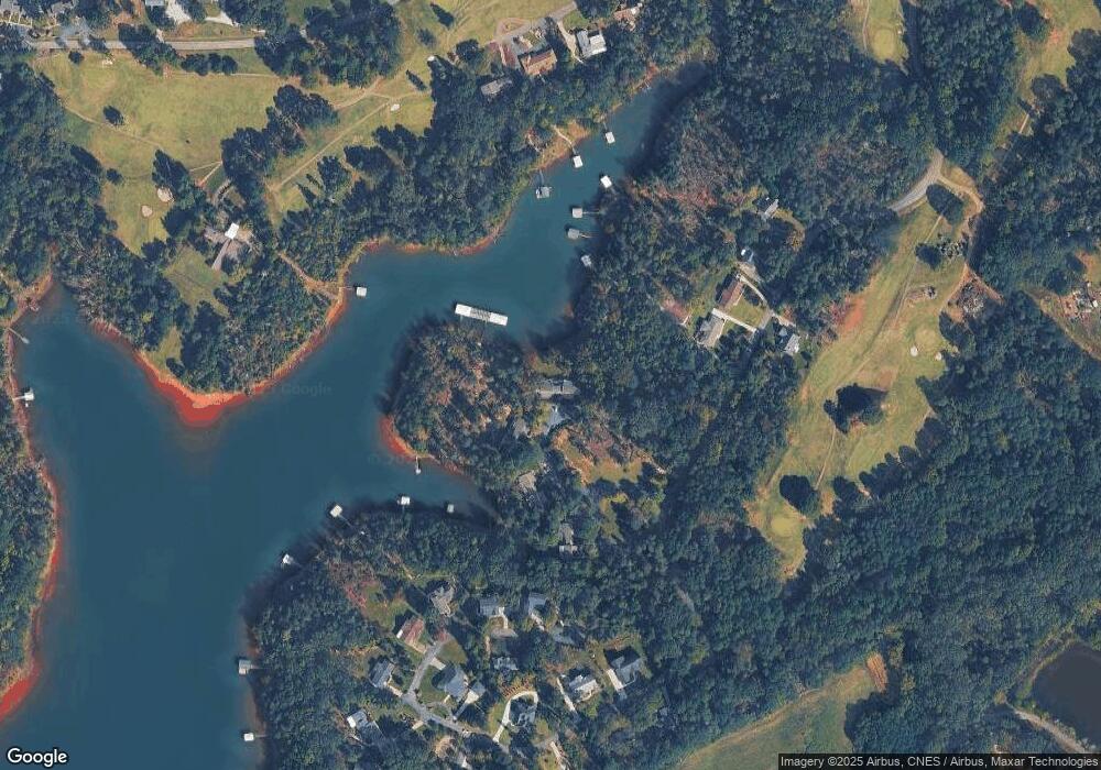
Map
Nearby Homes
- 1005 Cove Cir
- Lot #40 Lakefront Dr
- Lot #59 Lakefront Dr
- 1011 Cove Cir
- 1441 Providence Church Rd
- 120 Harbour Springs Way
- 1104 Whitfield Point Rd
- 104 Jarrett Rd
- 139 Brady Dr
- 401 Broadwater Cir
- 145 Brady Dr
- 1001 Providence Church Rd
- 109 Quiet Way
- 1107 Sunset Ln
- 1201 Sunset Ln
- 1214 Sunset Ln
- 303 Forest Cove Rd
- 154 Yellow Pine Dr
- 590 River Forks Rd
- 18c Hartwell Villas
- 2042 Shelter Point
- 2041 Shelter Point
- 2041 Shelter Point Unit II 4A
- 2043 Shelter Point
- 2044 Shelter Point
- 2034 Shelter Point
- 2033 Shelter Point Unit 2
- 2033 Shelter Point
- 2033 Shelter Point Unit 2
- 2032 Shelter Point
- 2032 Shelter Point
- 2031 Shelter Point Unit II3A
- 2024 Shelter Point
- 2023 Shelter Point
- 2022 Shelter Point
- 2021 Shelter Point
- 2014 Shelter Point
- 2013 Shelter Point
- 2012 Shelter Point
- 2012 Shelter Point Unit II-1B