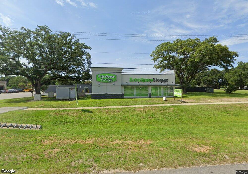
2041 W Nine Mile Rd Pensacola, FL 32534
Estimated Value: $18,817,848
--
Bed
1
Bath
77,537
Sq Ft
$243/Sq Ft
Est. Value
About This Home
This home is located at 2041 W Nine Mile Rd, Pensacola, FL 32534 and is currently estimated at $18,817,848, approximately $242 per square foot. 2041 W Nine Mile Rd is a home located in Escambia County with nearby schools including Lincoln Park Elementary School, Beulah Middle School, and J.M. Tate Senior High School.
Ownership History
Date
Name
Owned For
Owner Type
Purchase Details
Closed on
Apr 20, 2022
Sold by
Gd Nine Mile Llc
Bought by
Extra Space Properties Two Llc
Current Estimated Value
Purchase Details
Closed on
Sep 19, 2019
Sold by
Beach Community Bank
Bought by
Gd Nine Mile Llc
Purchase Details
Closed on
Dec 15, 2008
Sold by
Parker Custom Built Homes Inc
Bought by
First National Bank Of Florida
Purchase Details
Closed on
Jul 27, 2005
Sold by
Kristiansen Lars and Kristiansen Denise C Wheelis
Bought by
Savannah Developers Inc
Create a Home Valuation Report for This Property
The Home Valuation Report is an in-depth analysis detailing your home's value as well as a comparison with similar homes in the area
Home Values in the Area
Average Home Value in this Area
Purchase History
| Date | Buyer | Sale Price | Title Company |
|---|---|---|---|
| Extra Space Properties Two Llc | $17,875,000 | First American Title | |
| Gd Nine Mile Llc | $1,125,000 | Attorney | |
| First National Bank Of Florida | -- | Attorney | |
| Savannah Developers Inc | $475,000 | -- |
Source: Public Records
Tax History Compared to Growth
Tax History
| Year | Tax Paid | Tax Assessment Tax Assessment Total Assessment is a certain percentage of the fair market value that is determined by local assessors to be the total taxable value of land and additions on the property. | Land | Improvement |
|---|---|---|---|---|
| 2024 | $69,170 | $4,959,239 | $1,230,000 | $3,729,239 |
| 2023 | $69,170 | $4,907,255 | $1,230,000 | $3,677,255 |
| 2022 | $63,367 | $4,521,560 | $1,230,000 | $3,291,560 |
| 2021 | $14,024 | $1,066,000 | $0 | $0 |
| 2020 | $12,077 | $885,600 | $0 | $0 |
| 2019 | $6,949 | $496,746 | $0 | $0 |
| 2018 | $5,469 | $381,141 | $0 | $0 |
| 2017 | $5,586 | $381,141 | $0 | $0 |
| 2016 | $5,680 | $381,141 | $0 | $0 |
| 2015 | $5,745 | $381,141 | $0 | $0 |
| 2014 | $5,810 | $381,141 | $0 | $0 |
Source: Public Records
Map
Nearby Homes
- 55 Newport St
- 428 Mayberry St
- 1587 Iroquois Ct
- 1578 Iroquois Ct
- 1590 Iroquois Ct
- 1921 Larkspur Cir
- 412 Mayberry St
- 213 Newberry St
- 1518 Farragut Way
- 116 Mt Pilot St
- 8913 Brigade Trail
- 8920 Brigade Trail
- 8916 Brigade Trail
- 8964 Abbington Dr
- 8907 Abbington Dr
- 2292 Trailwood Dr
- 1422 Starlight Dr
- 2328 Trailwood Dr
- 1420 Starlight Dr
- 1718 W 9 & Half Mile Rd
- 2065 W Nine Mile Rd
- 2065 W Nine Mile Rd
- 2065 W Nine Mile Rd
- 2023 W Nine Mile Rd
- 2075 W Nine Mile Rd
- 2001 W Nine Mile Rd
- 26 Newport St
- 10 New Market St
- 2101 W 9 Mile Rd Unit 2101-2107
- 410 Milestone Blvd
- 2107 W Nine Mile Rd Unit 4
- 412 Milestone Blvd
- 50 Culpepper St
- 414 Milestone Blvd
- 2115 W Nine Mile Rd Unit 9
- 2115 W Nine Mile Rd Unit 8
- 2115 W Nine Mile Rd Unit 11
- 2115 W Nine Mile Rd Unit 4
- 2115 W Nine Mile Rd Unit 3
- 2115 W Nine Mile Rd Unit 13