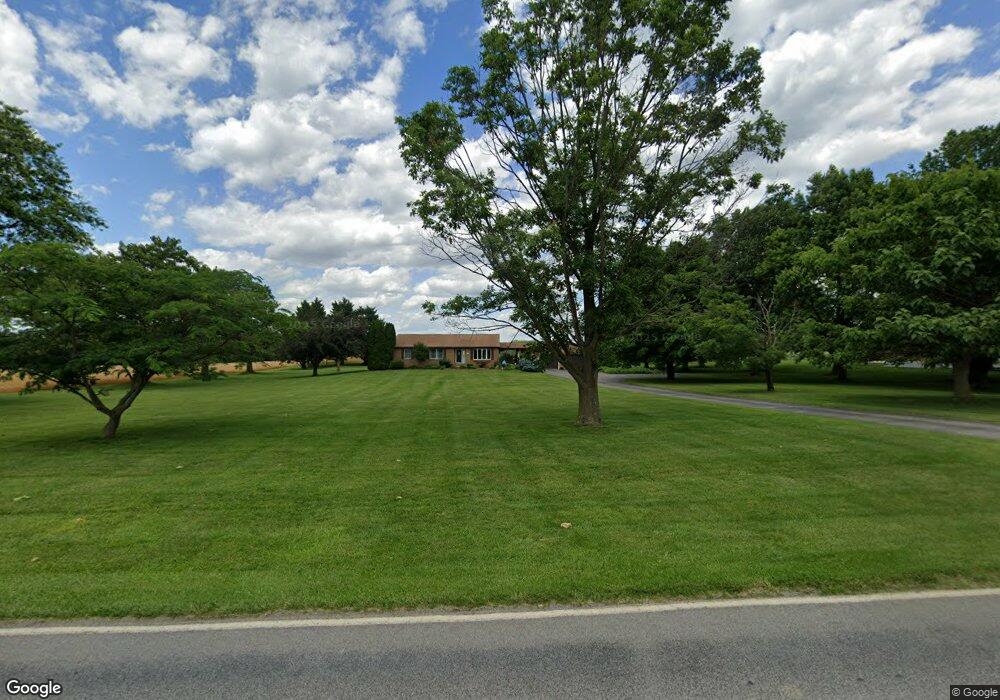
20414 Mill Point Rd Boonsboro, MD 21713
Estimated Value: $417,000 - $515,000
--
Bed
2
Baths
1,749
Sq Ft
$268/Sq Ft
Est. Value
About This Home
This home is located at 20414 Mill Point Rd, Boonsboro, MD 21713 and is currently estimated at $468,723, approximately $267 per square foot. 20414 Mill Point Rd is a home located in Washington County with nearby schools including Greenbrier Elementary School, Boonsboro Middle School, and Boonsboro High School.
Ownership History
Date
Name
Owned For
Owner Type
Purchase Details
Closed on
Aug 8, 2000
Sold by
Harvey Charles W and Harvey Neva L
Bought by
Olszewski John A and Olszewski Francine E
Current Estimated Value
Purchase Details
Closed on
Mar 28, 1988
Sold by
Williams William H and Williams Marion
Bought by
Harvey Charles W and Harvey Neva L
Home Financials for this Owner
Home Financials are based on the most recent Mortgage that was taken out on this home.
Original Mortgage
$21,450
Interest Rate
9.99%
Create a Home Valuation Report for This Property
The Home Valuation Report is an in-depth analysis detailing your home's value as well as a comparison with similar homes in the area
Home Values in the Area
Average Home Value in this Area
Purchase History
| Date | Buyer | Sale Price | Title Company |
|---|---|---|---|
| Olszewski John A | $179,972 | -- | |
| Harvey Charles W | $28,600 | -- |
Source: Public Records
Mortgage History
| Date | Status | Borrower | Loan Amount |
|---|---|---|---|
| Previous Owner | Harvey Charles W | $21,450 | |
| Closed | Olszewski John A | -- |
Source: Public Records
Tax History Compared to Growth
Tax History
| Year | Tax Paid | Tax Assessment Tax Assessment Total Assessment is a certain percentage of the fair market value that is determined by local assessors to be the total taxable value of land and additions on the property. | Land | Improvement |
|---|---|---|---|---|
| 2025 | $2,958 | $380,067 | $0 | $0 |
| 2024 | $2,958 | $351,500 | $88,900 | $262,600 |
| 2023 | $2,804 | $313,633 | $0 | $0 |
| 2022 | $2,660 | $275,767 | $0 | $0 |
| 2021 | $2,563 | $237,900 | $88,900 | $149,000 |
| 2020 | $2,563 | $237,200 | $0 | $0 |
| 2019 | $2,567 | $236,500 | $0 | $0 |
| 2018 | $2,559 | $235,800 | $88,900 | $146,900 |
| 2017 | $2,559 | $235,800 | $0 | $0 |
| 2016 | -- | $235,800 | $0 | $0 |
| 2015 | $3,052 | $256,700 | $0 | $0 |
| 2014 | $3,052 | $256,700 | $0 | $0 |
Source: Public Records
Map
Nearby Homes
- 20722 Jessie Ln
- 203 Tiger Way
- 20717 El Rancho Rd
- 0 Ringley Dr Unit MDWA2017998
- 0 Ringley Dr Unit MDWA2017988
- 0 Ringley Dr Unit MDWA2017940
- 7625 Mountain Laurel Rd
- 211 Della Ln
- 409 N Main St
- 19845 Toms Rd
- 113 Orchard Dr
- 122 Orchard Dr
- 19727 Toms Rd
- 16 Ford Ave
- 108 Saint Paul St
- 19717 Toms Rd
- 103 Saint Paul St
- 104 N Main St
- 126 Lakin Ave
- 21335 Keadle Rd
- 20422 Mill Point Rd
- 20334 Mill Point Rd
- 20434 Mill Point Rd
- 8112 Arcadia Ln
- 8120 Arcadia Ln
- 20446 Mill Point Rd
- 20320 Mill Point Rd
- 8132 Arcadia Ln
- 20314 Mill Point Rd
- 8142 Arcadia Ln
- 20308 Mill Point Rd
- 20304 Mill Point Rd
- 8162 Arcadia Ln
- 20407 Mill Point Rd
- 20228 Mill Point Rd
- 20216 Mill Point Rd
- 8001 Old National Pike
- 20206 Mill Point Rd
- 8003 Old National Pike
- 20605 Mill Point Rd