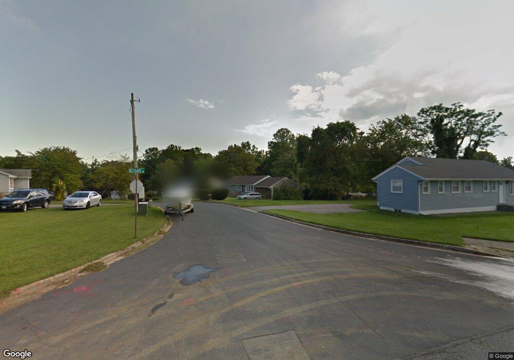
2042 Gate Dr Annapolis, MD 21401
Parole NeighborhoodEstimated Value: $350,000 - $443,723
3
Beds
1
Bath
1,080
Sq Ft
$363/Sq Ft
Est. Value
About This Home
This home is located at 2042 Gate Dr, Annapolis, MD 21401 and is currently estimated at $391,908, approximately $362 per square foot. 2042 Gate Dr is a home located in Anne Arundel County with nearby schools including Rolling Knolls Elementary School, Wiley H. Bates Middle School, and Annapolis High School.
Ownership History
Date
Name
Owned For
Owner Type
Purchase Details
Closed on
Aug 5, 2014
Sold by
Owens Joyce
Bought by
Latney Charles F and Latney Mauralesa
Current Estimated Value
Home Financials for this Owner
Home Financials are based on the most recent Mortgage that was taken out on this home.
Original Mortgage
$52,303
Outstanding Balance
$39,926
Interest Rate
4.14%
Mortgage Type
Purchase Money Mortgage
Estimated Equity
$351,982
Create a Home Valuation Report for This Property
The Home Valuation Report is an in-depth analysis detailing your home's value as well as a comparison with similar homes in the area
Home Values in the Area
Average Home Value in this Area
Purchase History
| Date | Buyer | Sale Price | Title Company |
|---|---|---|---|
| Latney Charles F | $215,000 | Champion Realty Title |
Source: Public Records
Mortgage History
| Date | Status | Borrower | Loan Amount |
|---|---|---|---|
| Open | Latney Charles F | $52,303 | |
| Open | Latney Charles F | $171,949 |
Source: Public Records
Tax History Compared to Growth
Tax History
| Year | Tax Paid | Tax Assessment Tax Assessment Total Assessment is a certain percentage of the fair market value that is determined by local assessors to be the total taxable value of land and additions on the property. | Land | Improvement |
|---|---|---|---|---|
| 2025 | $502 | $370,000 | $244,200 | $125,800 |
| 2024 | $502 | $355,933 | $0 | $0 |
| 2023 | $474 | $341,867 | $0 | $0 |
| 2022 | $430 | $327,800 | $228,100 | $99,700 |
| 2021 | $861 | $308,900 | $0 | $0 |
| 2020 | $387 | $290,000 | $0 | $0 |
| 2019 | $387 | $271,100 | $165,700 | $105,400 |
| 2018 | $2,702 | $266,467 | $0 | $0 |
| 2017 | $383 | $261,833 | $0 | $0 |
| 2016 | -- | $257,200 | $0 | $0 |
| 2015 | -- | $257,200 | $0 | $0 |
| 2014 | -- | $257,200 | $0 | $0 |
Source: Public Records
Map
Nearby Homes
- 2000 Monticello Dr
- 1974 Scotts Crossing Way
- 2075 Old Admiral Ct
- 4 Roosevelt Dr
- 2000 Phillips Terrace Unit 4
- 2026 Gov Thomas Bladen Way Unit 102
- 2026 Gov Thomas Bladen Way Unit 203
- 668 N Bestgate Rd
- 553 Choptank Cove Ct
- 40 Oak Ct
- 1915 Towne Centre Blvd Unit 606
- 1915 Towne Centre Blvd Unit 1001
- 1915 Towne Centre Blvd Unit 301
- 1915 Towne Centre Blvd Unit 807
- 1915 Towne Centre Blvd Unit 707
- 1915 Towne Centre Blvd Unit 405 & 406
- 1915 Towne Centre Blvd Unit 1210
- 1915 Towne Centre Blvd Unit 1004
- 1915 Towne Centre Blvd Unit 402
- 1915 Towne Centre Blvd Unit 306