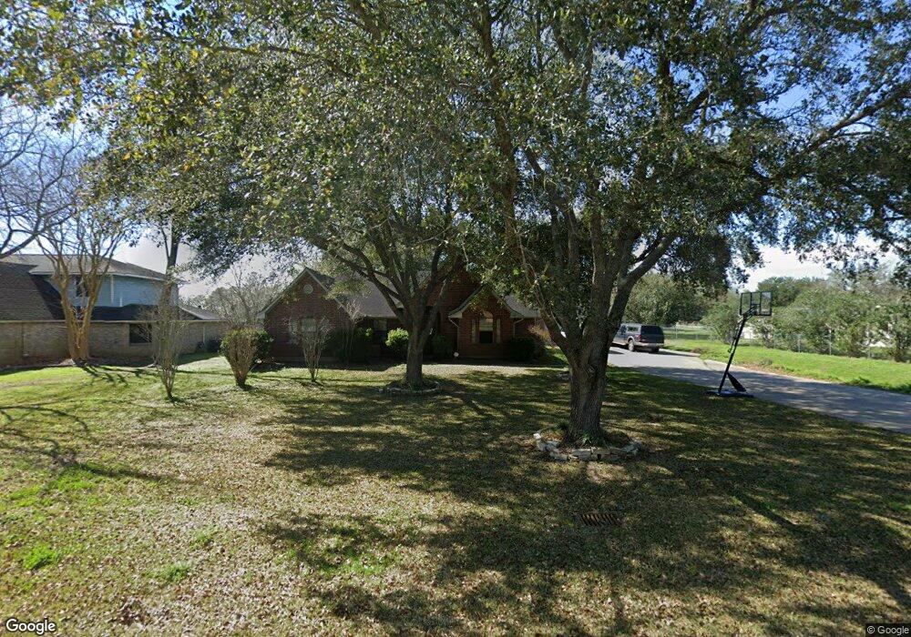
2042 Michael Ln Pearland, TX 77581
Estimated Value: $375,051 - $433,000
3
Beds
2
Baths
2,097
Sq Ft
$190/Sq Ft
Est. Value
About This Home
This home is located at 2042 Michael Ln, Pearland, TX 77581 and is currently estimated at $397,763, approximately $189 per square foot. 2042 Michael Ln is a home located in Brazoria County with nearby schools including E A Lawhon Elementary School, Pearland Junior High School West, and Leon H. Sablatura Middle School.
Ownership History
Date
Name
Owned For
Owner Type
Purchase Details
Closed on
Aug 6, 2020
Sold by
Ditta Frank J and Ditta Lola J
Bought by
Youngblood Jon T and Youngblood Tia
Current Estimated Value
Home Financials for this Owner
Home Financials are based on the most recent Mortgage that was taken out on this home.
Original Mortgage
$132,000
Outstanding Balance
$117,309
Interest Rate
3.1%
Mortgage Type
New Conventional
Estimated Equity
$280,454
Purchase Details
Closed on
Oct 11, 2011
Sold by
Bredehoeft Jerry W and Bredehoeft Brenda C
Bought by
Ditta Frank J and Ditta Lola J
Home Financials for this Owner
Home Financials are based on the most recent Mortgage that was taken out on this home.
Original Mortgage
$151,000
Interest Rate
4.13%
Mortgage Type
New Conventional
Create a Home Valuation Report for This Property
The Home Valuation Report is an in-depth analysis detailing your home's value as well as a comparison with similar homes in the area
Home Values in the Area
Average Home Value in this Area
Purchase History
| Date | Buyer | Sale Price | Title Company |
|---|---|---|---|
| Youngblood Jon T | -- | Stewart Title Brazoria | |
| Ditta Frank J | -- | Stewart Title |
Source: Public Records
Mortgage History
| Date | Status | Borrower | Loan Amount |
|---|---|---|---|
| Open | Youngblood Jon T | $132,000 | |
| Previous Owner | Ditta Frank J | $151,000 |
Source: Public Records
Tax History Compared to Growth
Tax History
| Year | Tax Paid | Tax Assessment Tax Assessment Total Assessment is a certain percentage of the fair market value that is determined by local assessors to be the total taxable value of land and additions on the property. | Land | Improvement |
|---|---|---|---|---|
| 2025 | $4,979 | $322,248 | $74,540 | $263,350 |
| 2023 | $4,979 | $266,321 | $74,540 | $307,490 |
| 2022 | $5,824 | $242,110 | $63,350 | $226,230 |
| 2021 | $5,671 | $220,100 | $58,660 | $161,440 |
| 2020 | $6,098 | $226,000 | $53,970 | $172,030 |
| 2019 | $5,683 | $210,600 | $51,620 | $158,980 |
| 2018 | $5,312 | $197,690 | $51,620 | $146,070 |
| 2017 | $6,116 | $226,500 | $55,210 | $171,290 |
| 2016 | $6,021 | $223,000 | $55,210 | $167,790 |
| 2015 | $5,350 | $211,290 | $55,210 | $156,080 |
| 2014 | $5,350 | $192,290 | $55,210 | $137,080 |
Source: Public Records
Map
Nearby Homes
- 6209 Butler Rd
- 6009 Village Grove Dr
- 2236 Garden Rd Cr 109
- 1849 Garden Rd
- 6088 Pearland Place
- 0 Hatfield Rd Unit 37845028
- 5972 Pearland Place
- 2453 Roy Rd Unit 105
- 1549 Garden Rd Unit 109
- 0 W Broadway St
- 1706 Roy Rd
- 1454 Oday Rd
- 5711 Tyler St
- 1634 Roy Rd
- 2325 Hatfield Rd
- 1503 Pastureview Dr
- 6816 Broadway St
- 2413 Quiet Arbor Ln
- 0 Hatfield County Rd 480 Rd Unit 20764256
- 2811 Afton Dr
- 2054 Michael Ln
- 6410 Butler Rd
- 2033 Kelly Dr
- 2110 Michael Ln
- 2053 Kelly Dr
- 2049 Kelly Dr
- 2057 Michael Ln
- 6322 Butler Rd
- 2105 Kelly Dr
- 6409 Butler Rd
- 6417 Butler Rd
- 6325 Butler Rd
- 2117 Michael Ln
- 6433 Butler Rd
- 6317 Butler Rd
- 2042 Kelly Dr
- 2046 Melanie Ln
- 2125 Michael Ln
- 2050 Melanie Ln
- 2038 Melanie Ln