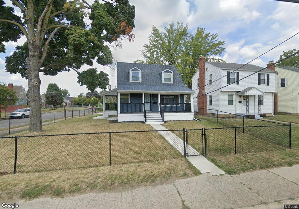
2042 W Mound St Columbus, OH 43223
South Hilltop NeighborhoodEstimated Value: $139,218 - $166,000
2
Beds
1
Bath
746
Sq Ft
$204/Sq Ft
Est. Value
About This Home
This home is located at 2042 W Mound St, Columbus, OH 43223 and is currently estimated at $152,555, approximately $204 per square foot. 2042 W Mound St is a home located in Franklin County with nearby schools including West Mound Elementary School, Hilltonia Middle School, and Briggs High School.
Ownership History
Date
Name
Owned For
Owner Type
Purchase Details
Closed on
Jun 19, 2000
Sold by
Glason Byron L and Glason Cheryl R
Bought by
Glason Earnie
Current Estimated Value
Purchase Details
Closed on
Jan 19, 1982
Bought by
Glason Earnie
Purchase Details
Closed on
Nov 1, 1980
Create a Home Valuation Report for This Property
The Home Valuation Report is an in-depth analysis detailing your home's value as well as a comparison with similar homes in the area
Home Values in the Area
Average Home Value in this Area
Purchase History
| Date | Buyer | Sale Price | Title Company |
|---|---|---|---|
| Glason Earnie | $25,700 | First Ohio Title Services In | |
| Glason Earnie | -- | -- | |
| -- | $37,400 | -- |
Source: Public Records
Tax History Compared to Growth
Tax History
| Year | Tax Paid | Tax Assessment Tax Assessment Total Assessment is a certain percentage of the fair market value that is determined by local assessors to be the total taxable value of land and additions on the property. | Land | Improvement |
|---|---|---|---|---|
| 2024 | $2,083 | $46,410 | $5,950 | $40,460 |
| 2023 | $1,953 | $44,065 | $5,950 | $38,115 |
| 2022 | $804 | $15,510 | $2,140 | $13,370 |
| 2021 | $806 | $15,510 | $2,140 | $13,370 |
| 2020 | $807 | $15,510 | $2,140 | $13,370 |
| 2019 | $767 | $12,640 | $1,790 | $10,850 |
| 2018 | $795 | $12,640 | $1,790 | $10,850 |
| 2017 | $838 | $12,640 | $1,790 | $10,850 |
| 2016 | $910 | $13,730 | $4,660 | $9,070 |
| 2015 | $826 | $13,730 | $4,660 | $9,070 |
| 2014 | $828 | $13,730 | $4,660 | $9,070 |
| 2013 | $481 | $16,170 | $5,495 | $10,675 |
Source: Public Records
Map
Nearby Homes
- 597 Nashoba Ave
- 608 Nashoba Ave
- 784-786 Butler Ave
- 611 Whitethorne Ave
- 599 Whitethorne Ave
- 1876 Vaughn St
- 509 Belvidere Ave
- 550 Columbian Ave
- 2169 Amherst Ave
- 485 Belvidere Ave
- 479 Nashoba Ave
- 2188 Amherst Ave
- 2017-2019 Sullivant Ave
- 2009 Sullivant Ave Unit 9
- 1953 Sullivant Ave
- 1921 Sullivant Ave
- 538 Larcomb Ave
- 458 Woodbury Ave
- 870 Geneva Ave
- 2205-2207 Sullivant Ave
- 2036 W Mound St
- 2032 W Mound St
- 682 Belvidere Ave
- 697 Belvidere Ave
- 2024 W Mound St
- 678 Belvidere Ave
- 2062 W Mound St
- 685 Belvidere Ave
- 672 Belvidere Ave
- 679 Belvidere Ave
- 2066 W Mound St
- 687 Wrexham Ave
- 675 Wrexham Ave
- 675 Belvidere Ave
- 666 Belvidere Ave
- 2072 W Mound St
- 669 Belvidere Ave
- 665 Wrexham Ave
- 662 Belvidere Ave
- 2063-2065 W Mound St