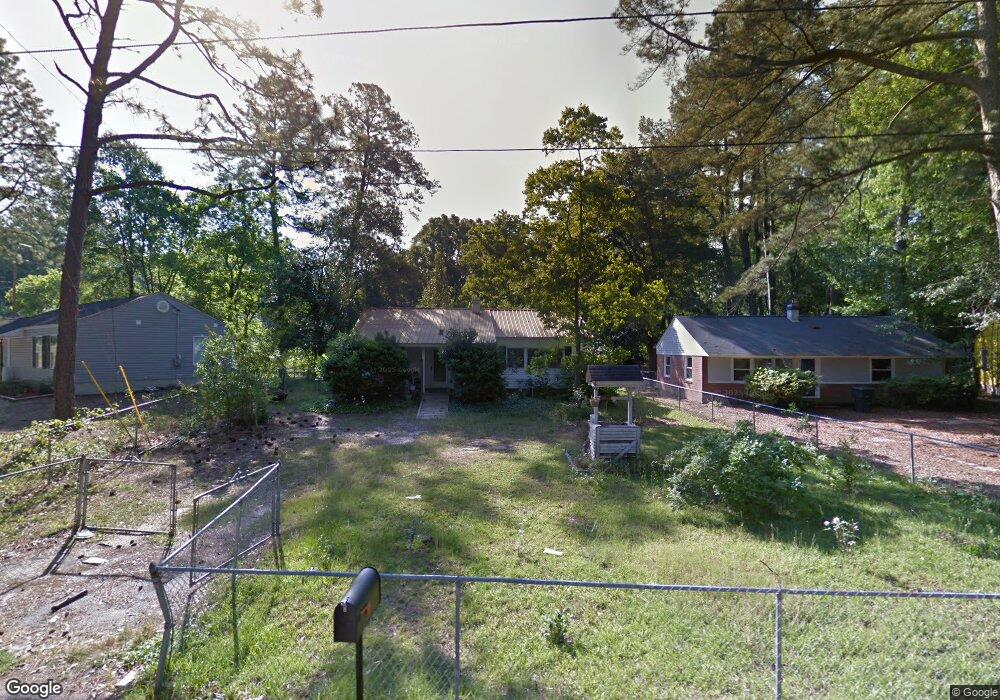
2042 Wren Rd North Augusta, SC 29841
Estimated Value: $152,347 - $205,000
--
Bed
1
Bath
1,179
Sq Ft
$156/Sq Ft
Est. Value
About This Home
This home is located at 2042 Wren Rd, North Augusta, SC 29841 and is currently estimated at $183,587, approximately $155 per square foot. 2042 Wren Rd is a home located in Aiken County with nearby schools including Hammond Hill Elementary School, Paul Knox Middle School, and North Augusta High School.
Ownership History
Date
Name
Owned For
Owner Type
Purchase Details
Closed on
Dec 8, 2017
Sold by
Mrl Investments Llc
Bought by
Carter Michael J
Current Estimated Value
Home Financials for this Owner
Home Financials are based on the most recent Mortgage that was taken out on this home.
Original Mortgage
$116,844
Outstanding Balance
$98,826
Interest Rate
4.12%
Mortgage Type
FHA
Estimated Equity
$84,761
Purchase Details
Closed on
Jul 6, 2017
Sold by
Smith Gerald E and Lawrence Alice S
Bought by
Mrl Investments Llc
Purchase Details
Closed on
Sep 15, 2011
Sold by
Estate Of Barbara A Smith
Bought by
Smith Gerald E
Create a Home Valuation Report for This Property
The Home Valuation Report is an in-depth analysis detailing your home's value as well as a comparison with similar homes in the area
Home Values in the Area
Average Home Value in this Area
Purchase History
| Date | Buyer | Sale Price | Title Company |
|---|---|---|---|
| Carter Michael J | $119,000 | None Available | |
| Mrl Investments Llc | $31,500 | None Available | |
| Smith Gerald E | -- | -- |
Source: Public Records
Mortgage History
| Date | Status | Borrower | Loan Amount |
|---|---|---|---|
| Open | Carter Michael J | $116,844 |
Source: Public Records
Tax History Compared to Growth
Tax History
| Year | Tax Paid | Tax Assessment Tax Assessment Total Assessment is a certain percentage of the fair market value that is determined by local assessors to be the total taxable value of land and additions on the property. | Land | Improvement |
|---|---|---|---|---|
| 2023 | $518 | $5,160 | $960 | $104,950 |
| 2022 | $504 | $5,160 | $0 | $0 |
| 2021 | $505 | $5,160 | $0 | $0 |
| 2020 | $461 | $4,650 | $0 | $0 |
| 2019 | $461 | $4,650 | $0 | $0 |
| 2018 | $1,652 | $4,650 | $600 | $4,050 |
| 2017 | $874 | $0 | $0 | $0 |
| 2016 | $874 | $0 | $0 | $0 |
| 2015 | -- | $0 | $0 | $0 |
| 2014 | -- | $0 | $0 | $0 |
| 2013 | -- | $0 | $0 | $0 |
Source: Public Records
Map
Nearby Homes
- 2009 Wren Rd
- Fbth7c Caroline Ct Unit 7c
- Fbth7b Caroline Ct Unit 7b
- Fbth7d Caroline Ct Unit 7d
- Fbth7a Caroline Ct Unit 7a
- 1964 Bunting Dr
- 1962 Bunting Dr
- 4027 Jane Ln Unit 10B
- 1926 Robin Rd
- 4011 Jane Ln Unit 11B
- Mill Creek Plan at Forrest Bluff
- Ridgeway II Plan at Forrest Bluff
- 1772 Plan at Forrest Bluff
- 1570 Plan at Forrest Bluff
- Bradford Plan at Forrest Bluff
- 1313 Plan at Forrest Bluff
- 1486 Plan at Forrest Bluff
- 1575 Plan at Forrest Bluff
- 1797 Plan at Forrest Bluff
- 1580 Plan at Forrest Bluff