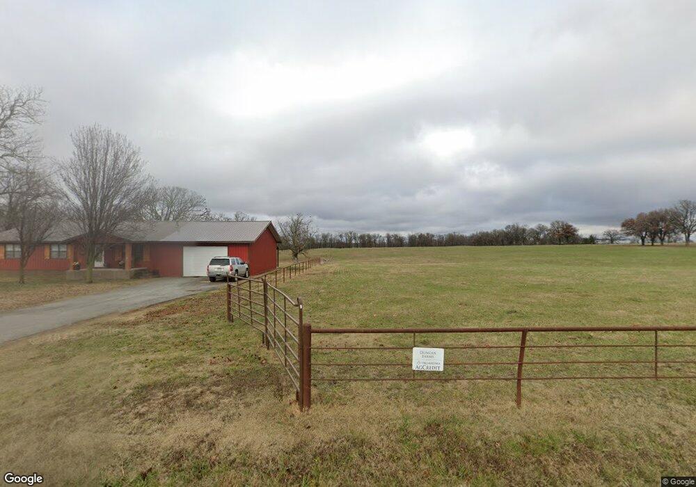
20420 E 530 Rd Colcord, OK 74338
Estimated Value: $314,000 - $566,000
3
Beds
2
Baths
2,000
Sq Ft
$220/Sq Ft
Est. Value
About This Home
This home is located at 20420 E 530 Rd, Colcord, OK 74338 and is currently estimated at $440,941, approximately $220 per square foot. 20420 E 530 Rd is a home located in Delaware County with nearby schools including Colcord Elementary School and Colcord High School.
Ownership History
Date
Name
Owned For
Owner Type
Purchase Details
Closed on
Mar 31, 2025
Sold by
Duncan Gary Don and Duncan Tiffany Dawn
Bought by
Buffer Dustin Isaac
Current Estimated Value
Home Financials for this Owner
Home Financials are based on the most recent Mortgage that was taken out on this home.
Original Mortgage
$600,000
Outstanding Balance
$597,969
Interest Rate
5.63%
Mortgage Type
FHA
Estimated Equity
-$157,028
Purchase Details
Closed on
Jul 7, 2015
Sold by
Robinson Reba and Robinson Reba L
Bought by
Duncan Gary Don and Duncan Tiffany Dawn
Home Financials for this Owner
Home Financials are based on the most recent Mortgage that was taken out on this home.
Original Mortgage
$150,000
Interest Rate
3.91%
Mortgage Type
Future Advance Clause Open End Mortgage
Create a Home Valuation Report for This Property
The Home Valuation Report is an in-depth analysis detailing your home's value as well as a comparison with similar homes in the area
Home Values in the Area
Average Home Value in this Area
Purchase History
| Date | Buyer | Sale Price | Title Company |
|---|---|---|---|
| Buffer Dustin Isaac | $600,000 | Grand River Abstract & Title | |
| Buffer Dustin Isaac | $600,000 | Grand River Abstract & Title | |
| Duncan Gary Don | $160,000 | None Available |
Source: Public Records
Mortgage History
| Date | Status | Borrower | Loan Amount |
|---|---|---|---|
| Open | Buffer Dustin Isaac | $600,000 | |
| Closed | Buffer Dustin Isaac | $600,000 | |
| Previous Owner | Duncan Gary Don | $150,000 |
Source: Public Records
Tax History Compared to Growth
Tax History
| Year | Tax Paid | Tax Assessment Tax Assessment Total Assessment is a certain percentage of the fair market value that is determined by local assessors to be the total taxable value of land and additions on the property. | Land | Improvement |
|---|---|---|---|---|
| 2025 | $1,202 | $16,810 | $1,918 | $14,892 |
| 2024 | $1,202 | $14,300 | $1,862 | $12,438 |
| 2023 | $1,202 | $13,883 | $1,794 | $12,089 |
| 2022 | $1,130 | $13,883 | $1,778 | $12,105 |
| 2021 | $1,107 | $13,478 | $1,778 | $11,700 |
| 2020 | $1,070 | $12,705 | $1,778 | $10,927 |
| 2019 | $1,064 | $12,714 | $1,778 | $10,936 |
Source: Public Records
Map
Nearby Homes
- 52217 S 690 Rd
- TBD S 680 Rd
- 54709 S 683 Rd
- 0 E 530 Rd Unit 2526833
- 0 E 530 Rd Unit 1300636
- 0 E 530 Rd Unit 2509869
- 21942 E 510 Rd
- 0003 N Colcord Keithly Rd
- 23586 Oklahoma 116
- 50730 S 710 Rd
- 887 N Colcord Keithly Rd
- 27 0
- 180 E Doughty St
- 168 E Doughty St
- 0 E 484 Rd Unit 2444905
- 0 E 484 Rd Unit 24-2484
- 0 E 484 Rd Unit 1300691
- 19460 Cr 502
- 191 W Senior St
- 1991 N Colcord Ave
- 53158 S 700 Rd
- 53257 S 700 Rd
- 52493 S 690 Rd
- 22417 528
- 52513 S 690 Rd
- 19747 E 530 Rd
- 53076 S 690 Rd
- 21172 E 530 Rd
- 52228 S 690 Rd
- 20756 E 540 Rd
- 53067 S 690 Rd
- 53079 S 690 Rd
- 20875 S 43rd Hwy
- 53137 S 690 Rd
- 52217 S 690 Rd
- 53321 S 690 Rd
- 21039 State Highway 116
- 20875 Oklahoma 116
- 19460 E 530 Rd
- 53530 S 690 Rd