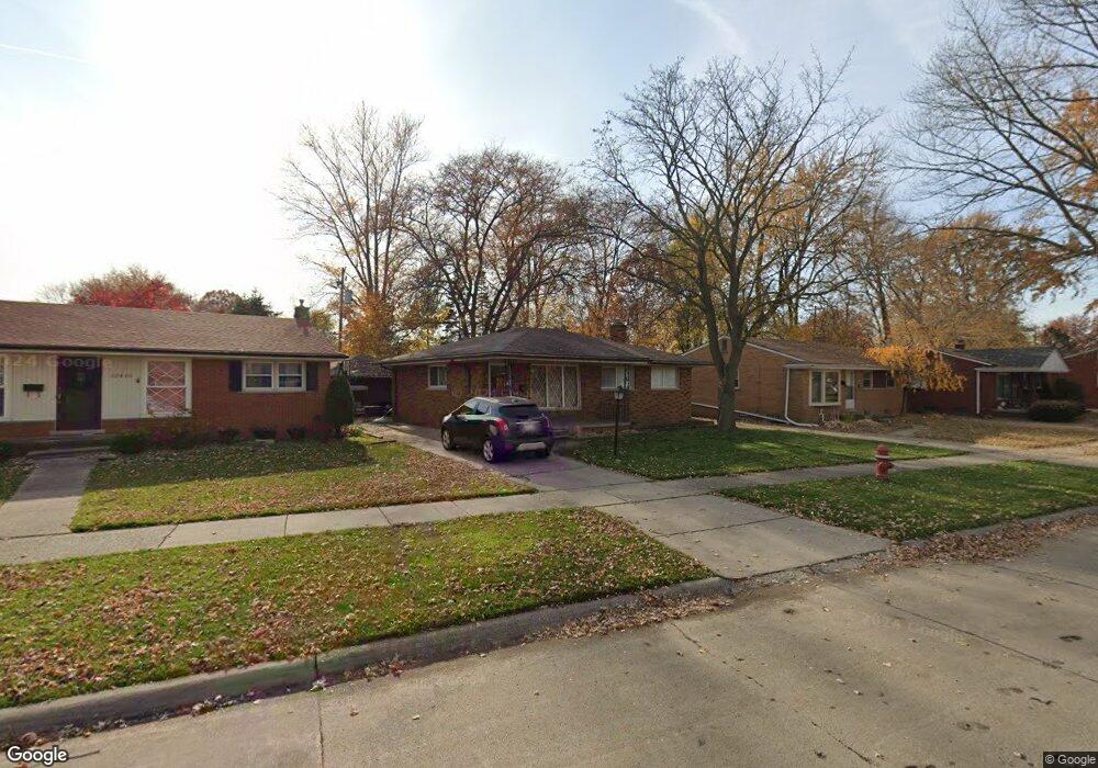
20420 Kenmore Ave Harper Woods, MI 48225
Estimated Value: $203,000 - $209,000
3
Beds
1
Bath
1,100
Sq Ft
$187/Sq Ft
Est. Value
About This Home
This home is located at 20420 Kenmore Ave, Harper Woods, MI 48225 and is currently estimated at $205,154, approximately $186 per square foot. 20420 Kenmore Ave is a home located in Wayne County with nearby schools including Parcells Middle School, Grosse Pointe North High School, and Distinctive College Prep: Harper Woods.
Ownership History
Date
Name
Owned For
Owner Type
Purchase Details
Closed on
May 11, 2018
Sold by
Daa Llc
Bought by
Sutton Charissa
Current Estimated Value
Purchase Details
Closed on
Dec 8, 2014
Sold by
Ford Jay Patrick and Ford Marcy Ann
Bought by
Daa
Purchase Details
Closed on
Jun 23, 2010
Sold by
Ford Jay and Ford Marcy
Bought by
Davis Michael A
Purchase Details
Closed on
Jun 5, 2009
Sold by
Sheehan John J and Sheehan Theresa A
Bought by
Ford Jay
Create a Home Valuation Report for This Property
The Home Valuation Report is an in-depth analysis detailing your home's value as well as a comparison with similar homes in the area
Home Values in the Area
Average Home Value in this Area
Purchase History
| Date | Buyer | Sale Price | Title Company |
|---|---|---|---|
| Sutton Charissa | $97,000 | Leading Edge Title Agency | |
| Daa | $28,000 | None Available | |
| Davis Michael A | -- | Multiple | |
| Ford Jay | $40,000 | Multiple |
Source: Public Records
Tax History Compared to Growth
Tax History
| Year | Tax Paid | Tax Assessment Tax Assessment Total Assessment is a certain percentage of the fair market value that is determined by local assessors to be the total taxable value of land and additions on the property. | Land | Improvement |
|---|---|---|---|---|
| 2025 | $1,407 | $91,100 | $0 | $0 |
| 2024 | $1,407 | $84,900 | $0 | $0 |
| 2023 | $1,343 | $73,800 | $0 | $0 |
| 2022 | $4,394 | $66,600 | $0 | $0 |
| 2021 | $4,058 | $63,300 | $0 | $0 |
| 2019 | $4,095 | $47,100 | $0 | $0 |
| 2018 | $706 | $40,600 | $0 | $0 |
| 2017 | $4,789 | $40,600 | $0 | $0 |
| 2016 | $3,173 | $39,500 | $0 | $0 |
| 2015 | $3,210 | $35,100 | $0 | $0 |
| 2013 | $3,110 | $31,100 | $0 | $0 |
| 2012 | $446 | $31,700 | $7,600 | $24,100 |
Source: Public Records
Map
Nearby Homes
- 20432 Hunt Club Dr
- 20602 Kenmore Ave
- 20506 Lochmoor St
- 20611 Damman St
- 20202 Hunt Club Dr
- 20490 Country Club Dr
- 20498 Country Club Dr
- 20522 Woodmont St
- 20006 Lochmoor St
- 20251 Country Club Dr
- 20260 Lancaster St
- 20616 Lancaster St
- 19926 Damman St
- 20521 Lancaster St
- 20488 Fleetwood Dr
- 20696 Huntington Ave
- 19711 Damman St
- 20672 Fleetwood Dr
- 19685 Lochmoor St
- 20886 Hunt Club Dr
- 20410 Kenmore Ave
- 20430 Kenmore Ave
- 20402 Kenmore Ave
- 20440 Kenmore Ave
- 20407 Damman St
- 20421 Kenmore Ave
- 20415 Damman St
- 20401 Damman St
- 20425 Damman St
- 20324 Kenmore Ave
- 20450 Kenmore Ave
- 20341 Damman St
- 20431 Kenmore Ave
- 20433 Damman St
- 20331 Damman St
- 20316 Hunt Club Dr
- 20402 Hunt Club Dr
- 20460 Kenmore Ave
- 20445 Kenmore Ave
- 20437 Damman St