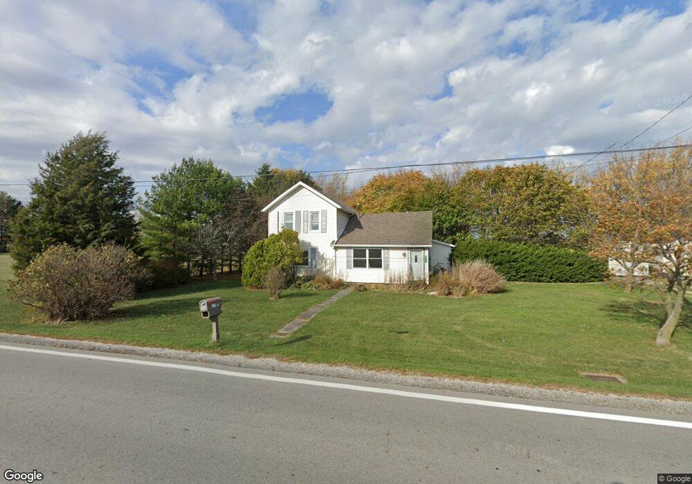
20421 W State Route 579 Curtice, OH 43412
Estimated Value: $175,763 - $299,000
2
Beds
1
Bath
1,592
Sq Ft
$154/Sq Ft
Est. Value
About This Home
This home is located at 20421 W State Route 579, Curtice, OH 43412 and is currently estimated at $244,691, approximately $153 per square foot. 20421 W State Route 579 is a home located in Ottawa County with nearby schools including Genoa Elementary School.
Ownership History
Date
Name
Owned For
Owner Type
Purchase Details
Closed on
Oct 16, 2025
Sold by
Sheriff Of Ottawa County
Bought by
Wynn Richard A
Current Estimated Value
Purchase Details
Closed on
Jun 20, 2002
Sold by
Nickster Robert S
Bought by
Lewis Raymond H Dora L
Home Financials for this Owner
Home Financials are based on the most recent Mortgage that was taken out on this home.
Original Mortgage
$93,000
Interest Rate
6.87%
Mortgage Type
New Conventional
Create a Home Valuation Report for This Property
The Home Valuation Report is an in-depth analysis detailing your home's value as well as a comparison with similar homes in the area
Home Values in the Area
Average Home Value in this Area
Purchase History
| Date | Buyer | Sale Price | Title Company |
|---|---|---|---|
| Wynn Richard A | $59,400 | None Listed On Document | |
| Lewis Raymond H Dora L | $16,000 | -- |
Source: Public Records
Mortgage History
| Date | Status | Borrower | Loan Amount |
|---|---|---|---|
| Previous Owner | Lewis Raymond H Dora L | $93,000 |
Source: Public Records
Tax History Compared to Growth
Tax History
| Year | Tax Paid | Tax Assessment Tax Assessment Total Assessment is a certain percentage of the fair market value that is determined by local assessors to be the total taxable value of land and additions on the property. | Land | Improvement |
|---|---|---|---|---|
| 2024 | $1,569 | $45,189 | $12,327 | $32,862 |
| 2023 | $1,569 | $37,485 | $10,717 | $26,768 |
| 2022 | $1,443 | $37,485 | $10,717 | $26,768 |
| 2021 | $1,270 | $37,490 | $10,720 | $26,770 |
| 2020 | $1,126 | $32,990 | $7,390 | $25,600 |
| 2019 | $1,116 | $32,990 | $7,390 | $25,600 |
| 2018 | $1,075 | $32,990 | $7,390 | $25,600 |
| 2017 | $938 | $28,770 | $6,720 | $22,050 |
| 2016 | $942 | $28,770 | $6,720 | $22,050 |
| 2015 | $948 | $28,770 | $6,720 | $22,050 |
| 2014 | $826 | $27,670 | $6,720 | $20,950 |
| 2013 | $828 | $27,670 | $6,720 | $20,950 |
Source: Public Records
Map
Nearby Homes
- 21224 W Toledo St
- 0 W Walbridge Rd
- Track 1 W Walbridge Rd
- 19367 W Walbridge Rd
- 6927 N Wildacre Rd
- 7105 N Elliston Trowbridge Rd
- 445 S Yondota Rd
- 725 Donovan Rd
- 7330 Jerusalem Rd
- 9015 Seaman Rd
- 24181 W James Ridge Rd
- 1861 N Opfer-Lentz Rd
- 0 N Graytown Rd
- 6645 Seaman Rd
- 23105 W Edgefield Dr
- 1031 N Cousino Rd
- 1615 N Thyre Dr
- 23225 Ohio 51
- 23430 State Route 51 W
- 6530 Corduroy Rd
- 20371 W State Route 579
- 20495 W State Route 579
- 20363 W State Route 579
- 20353 W State Route 579
- 20561 W State Route 579
- 20249 W State Route 579
- 20211 W State Route 579
- 20617 W State Route 579
- 20191 W State Route 579
- 20651 W Sr 579
- 20703 Ohio 579
- 20117 W State Route 579
- 20729 W Sr 579
- 20751 W Sr 579
- 20775 W State Route 579
- 6100 N Opfer Lentz Rd
- 20370 W Sr 579
- 20370 Oh-579
- 6272 N Opfer Lentz Rd
- 6040 N Opfer Lentz Rd