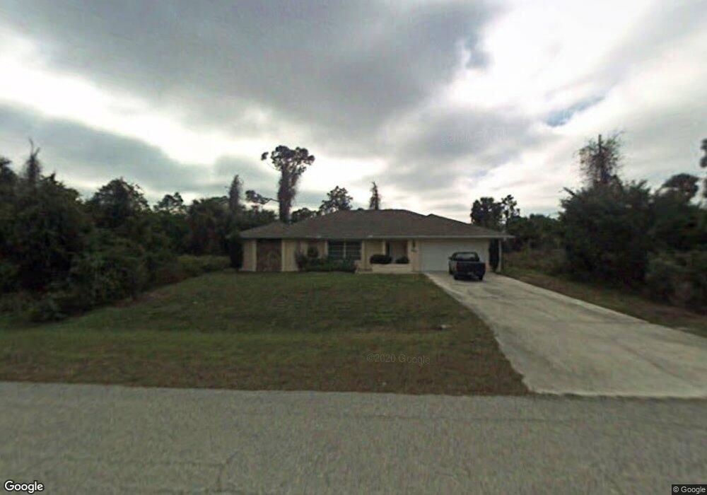
20423 Hillsborough Blvd Port Charlotte, FL 33954
Estimated Value: $307,591 - $361,000
4
Beds
2
Baths
2,286
Sq Ft
$144/Sq Ft
Est. Value
About This Home
This home is located at 20423 Hillsborough Blvd, Port Charlotte, FL 33954 and is currently estimated at $328,898, approximately $143 per square foot. 20423 Hillsborough Blvd is a home located in Charlotte County with nearby schools including Liberty Elementary School, Murdock Middle School, and Port Charlotte High School.
Ownership History
Date
Name
Owned For
Owner Type
Purchase Details
Closed on
Jul 12, 2024
Sold by
Daniel Michael and Daniel Elizabeth D
Bought by
Daniel Family Living Trust and Daniel
Current Estimated Value
Purchase Details
Closed on
Feb 7, 2005
Sold by
Carrington Janet
Bought by
Daniel Michael and Daniel Elizabeth D
Home Financials for this Owner
Home Financials are based on the most recent Mortgage that was taken out on this home.
Original Mortgage
$215,000
Interest Rate
7.12%
Mortgage Type
Purchase Money Mortgage
Create a Home Valuation Report for This Property
The Home Valuation Report is an in-depth analysis detailing your home's value as well as a comparison with similar homes in the area
Home Values in the Area
Average Home Value in this Area
Purchase History
| Date | Buyer | Sale Price | Title Company |
|---|---|---|---|
| Daniel Family Living Trust | $100 | None Listed On Document | |
| Daniel Michael | $215,000 | Sunbelt Title Agency |
Source: Public Records
Mortgage History
| Date | Status | Borrower | Loan Amount |
|---|---|---|---|
| Previous Owner | Daniel Michael | $215,000 |
Source: Public Records
Tax History Compared to Growth
Tax History
| Year | Tax Paid | Tax Assessment Tax Assessment Total Assessment is a certain percentage of the fair market value that is determined by local assessors to be the total taxable value of land and additions on the property. | Land | Improvement |
|---|---|---|---|---|
| 2024 | $1,672 | $102,725 | -- | -- |
| 2023 | $1,672 | $99,733 | $0 | $0 |
| 2022 | $1,592 | $96,828 | $0 | $0 |
| 2021 | $1,572 | $94,008 | $0 | $0 |
| 2020 | $1,527 | $92,710 | $0 | $0 |
| 2019 | $1,442 | $90,626 | $0 | $0 |
| 2018 | $1,313 | $88,936 | $0 | $0 |
| 2017 | $1,269 | $85,616 | $0 | $0 |
| 2016 | $1,254 | $83,855 | $0 | $0 |
| 2015 | $1,237 | $83,272 | $0 | $0 |
| 2014 | $1,213 | $82,611 | $0 | $0 |
Source: Public Records
Map
Nearby Homes
- 20399 Hillsborough Blvd
- 0 E Hillsborough Blvd
- 48 Porter St
- 10 Baldur Dr
- 20372 Wingate Ave
- 5366 Hader Rd
- 54 Atwater St
- 20272 Lorette Ave
- 20318 Lorette Ave
- 20380 Wingate Ave
- 62 Atwater St
- 134 Kirby
- 20296 Lorette Ave
- 79 Harvey St
- 21036 Dearman Ave
- 63 Justine St
- 95 Harvey St
- 151 Kirby
- 0 Dozier Terrace Unit MFRC7498573
- 0 Dozier Terrace Unit MFRN6132350
- 20424 Lorette Ave
- 20416 Lorette Ave
- 20439 Hillsborough Blvd
- 20407 Hillsborough Blvd
- 20447 Hillsborough Blvd
- 5416 E Hillsborough Blvd
- 20419 Lorette Ave
- 5442 E Hillsborough Blvd
- 20457 Hillsborough Blvd
- 20392 Lorette (Lot 28) Ave
- 20437 Lorette Ave
- 20392 Lorette Ave
- 136 Porter St
- 20395 Lorette Ave
- 20383 Hillsborough Blvd
- 5150 E Hillsborough Blvd
- 20420 Reston Ave
- 20412 Reston Ave
- 20428 Reston Ave
- E Hillsborough Blvd