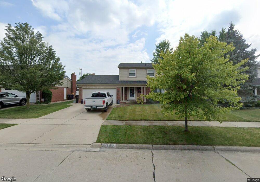
2043 Ardmore St Trenton, MI 48183
Estimated Value: $339,754 - $442,000
4
Beds
3
Baths
2,016
Sq Ft
$190/Sq Ft
Est. Value
About This Home
This home is located at 2043 Ardmore St, Trenton, MI 48183 and is currently estimated at $382,689, approximately $189 per square foot. 2043 Ardmore St is a home located in Wayne County with nearby schools including Jesse L. Anderson Elementary School, Boyd W. Arthurs Middle School, and Trenton High School.
Ownership History
Date
Name
Owned For
Owner Type
Purchase Details
Closed on
Feb 13, 1998
Sold by
Ringler Donald B and Ringler Marie
Bought by
Ringler Donald B
Current Estimated Value
Create a Home Valuation Report for This Property
The Home Valuation Report is an in-depth analysis detailing your home's value as well as a comparison with similar homes in the area
Home Values in the Area
Average Home Value in this Area
Purchase History
| Date | Buyer | Sale Price | Title Company |
|---|---|---|---|
| Ringler Donald B | -- | -- |
Source: Public Records
Tax History Compared to Growth
Tax History
| Year | Tax Paid | Tax Assessment Tax Assessment Total Assessment is a certain percentage of the fair market value that is determined by local assessors to be the total taxable value of land and additions on the property. | Land | Improvement |
|---|---|---|---|---|
| 2025 | $6,323 | $171,600 | $0 | $0 |
| 2024 | $6,323 | $152,500 | $0 | $0 |
| 2023 | $3,551 | $130,400 | $0 | $0 |
| 2022 | $4,825 | $120,800 | $0 | $0 |
| 2021 | $4,665 | $110,700 | $0 | $0 |
| 2020 | $4,716 | $109,600 | $0 | $0 |
| 2019 | $4,646 | $101,400 | $0 | $0 |
| 2018 | $3,072 | $94,200 | $0 | $0 |
| 2017 | $2,657 | $92,500 | $0 | $0 |
| 2016 | $4,144 | $90,300 | $0 | $0 |
| 2015 | $7,336 | $82,400 | $0 | $0 |
| 2013 | $7,107 | $73,900 | $0 | $0 |
| 2012 | $3,782 | $70,500 | $15,900 | $54,600 |
Source: Public Records
Map
Nearby Homes
- 2205 Glenwood St
- 2211 Parkside St
- 1870 Fort St Unit 1
- 1900 Fort St Unit 3
- 2100 Fort St
- 2291 Glenwood St
- 2330 Cambridge St
- 1590 Vernon St
- 2486 Edgemont St
- 2387 Ashby St
- 2330 Ashby St
- 2501 King Rd
- 2610 Gorno St
- 2577 Edsel St
- 1659 Boxford St
- 1723 N Trenton Dr
- 20617 Somerset Ct
- 1225 Harbour Dr Unit 28
- 2657 Chelsea St
- 2430 Middlefield Rd
- 2023 Ardmore St
- 2063 Ardmore St
- 2040 Sheraton Dr
- 2060 Sheraton Dr
- 2083 Ardmore St
- 2020 Sheraton Dr
- 2003 Ardmore St
- 2080 Sheraton Dr
- 2042 Ardmore St
- 2062 Ardmore St
- 2000 Sheraton Dr
- 2022 Ardmore St
- 2123 Ardmore St
- 2100 Sheraton Dr
- 2082 Ardmore St
- 2002 Ardmore St
- 2120 Sheraton Dr
- 2112 Ardmore St
- 2065 Vernon Ct
- 2041 Sheraton Dr