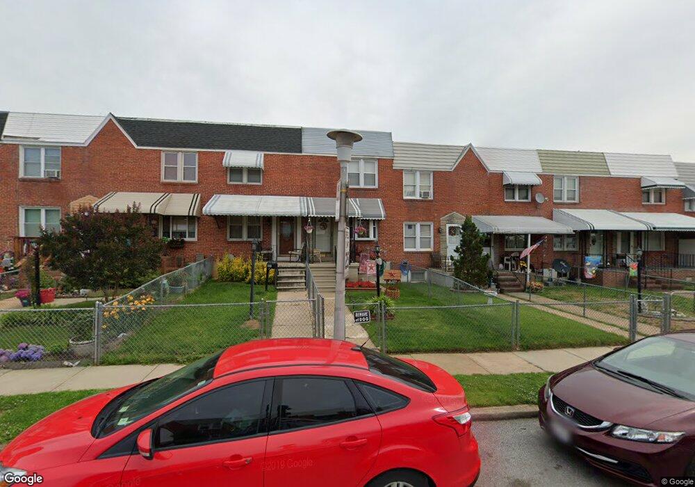
2043 Harman Ave Baltimore, MD 21230
Morrell Park NeighborhoodEstimated Value: $111,448 - $135,000
--
Bed
1
Bath
812
Sq Ft
$152/Sq Ft
Est. Value
About This Home
This home is located at 2043 Harman Ave, Baltimore, MD 21230 and is currently estimated at $123,224, approximately $151 per square foot. 2043 Harman Ave is a home located in Baltimore City with nearby schools including Morrell Park Elementary/Middle School, Booker T. Washington Middle School, and Edmondson Westside High School.
Ownership History
Date
Name
Owned For
Owner Type
Purchase Details
Closed on
May 29, 2002
Sold by
Przybyl Walter R
Bought by
Fromm Patricia J
Current Estimated Value
Purchase Details
Closed on
Oct 31, 1994
Sold by
Sturgeon Irene R
Bought by
Przybyl Walter R
Home Financials for this Owner
Home Financials are based on the most recent Mortgage that was taken out on this home.
Original Mortgage
$49,900
Interest Rate
8.65%
Create a Home Valuation Report for This Property
The Home Valuation Report is an in-depth analysis detailing your home's value as well as a comparison with similar homes in the area
Home Values in the Area
Average Home Value in this Area
Purchase History
| Date | Buyer | Sale Price | Title Company |
|---|---|---|---|
| Fromm Patricia J | $59,000 | -- | |
| Przybyl Walter R | $50,000 | -- |
Source: Public Records
Mortgage History
| Date | Status | Borrower | Loan Amount |
|---|---|---|---|
| Previous Owner | Przybyl Walter R | $49,900 |
Source: Public Records
Tax History Compared to Growth
Tax History
| Year | Tax Paid | Tax Assessment Tax Assessment Total Assessment is a certain percentage of the fair market value that is determined by local assessors to be the total taxable value of land and additions on the property. | Land | Improvement |
|---|---|---|---|---|
| 2025 | $1,194 | $68,400 | -- | -- |
| 2024 | $1,194 | $61,800 | $0 | $0 |
| 2023 | $1,181 | $55,200 | $12,000 | $43,200 |
| 2022 | $1,183 | $55,200 | $12,000 | $43,200 |
| 2021 | $1,303 | $55,200 | $12,000 | $43,200 |
| 2020 | $1,075 | $50,100 | $12,000 | $38,100 |
| 2019 | $1,069 | $50,100 | $12,000 | $38,100 |
| 2018 | $1,087 | $50,100 | $12,000 | $38,100 |
| 2017 | $1,421 | $64,100 | $0 | $0 |
| 2016 | $1,750 | $64,100 | $0 | $0 |
| 2015 | $1,750 | $64,100 | $0 | $0 |
| 2014 | $1,750 | $107,400 | $0 | $0 |
Source: Public Records
Map
Nearby Homes
- 2006 Grinnalds Ave
- 2012 Griffis Ave
- 1919 Grinnalds Ave
- 2052 Griffis Ave
- 2507 Washington Blvd
- 1933 Griffis Ave
- 2104 Whistler Ave
- 1915 Griffis Ave
- 2506 Washington Blvd
- 0 Harman Ave
- 1918 Parksley Ave
- 2129 Parksley Ave
- 1962 Sponson St
- 1707 Harman Ave
- 1715 Spence St
- 1703 - 1707 1/2 Spence St
- 1701 Spence St
- 2305 Herkimer St
- 2809 Washington Blvd
- 1733 Letitia Ave
- 2041 Harman Ave
- 2047 Harman Ave
- 2039 Harman Ave
- 2049 Harman Ave
- 2037 Harman Ave
- 2051 Harman Ave
- 2035 Harman Ave
- 2053 Harman Ave
- 2033 Harman Ave
- 2055 Harman Ave
- 2031 Harman Ave
- 2042 Grinnalds Ave
- 2057 Harman Ave
- 2029 Harman Ave
- 2040 Grinnalds Ave
- 2044 Grinnalds Ave
- 2046 Grinnalds Ave
- 2038 Grinnalds Ave
- 2036 Grinnalds Ave