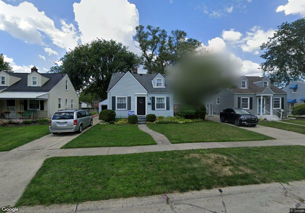
2043 Royal Ave Unit Bldg-Unit Berkley, MI 48072
Estimated Value: $287,356 - $320,000
4
Beds
1
Bath
910
Sq Ft
$338/Sq Ft
Est. Value
About This Home
This home is located at 2043 Royal Ave Unit Bldg-Unit, Berkley, MI 48072 and is currently estimated at $307,839, approximately $338 per square foot. 2043 Royal Ave Unit Bldg-Unit is a home located in Oakland County with nearby schools including Angell Elementary School, Anderson Middle School, and Berkley High School.
Ownership History
Date
Name
Owned For
Owner Type
Purchase Details
Closed on
Apr 23, 2018
Sold by
Croswell Mark
Bought by
Carey Ryan M and Carey Anna
Current Estimated Value
Home Financials for this Owner
Home Financials are based on the most recent Mortgage that was taken out on this home.
Original Mortgage
$166,250
Outstanding Balance
$142,972
Interest Rate
4.44%
Mortgage Type
New Conventional
Estimated Equity
$164,867
Purchase Details
Closed on
Jul 12, 2002
Sold by
Hendry Jeffery S
Bought by
Croswell Mark
Create a Home Valuation Report for This Property
The Home Valuation Report is an in-depth analysis detailing your home's value as well as a comparison with similar homes in the area
Home Values in the Area
Average Home Value in this Area
Purchase History
| Date | Buyer | Sale Price | Title Company |
|---|---|---|---|
| Carey Ryan M | $175,000 | Title One Inc | |
| Croswell Mark | $153,500 | -- |
Source: Public Records
Mortgage History
| Date | Status | Borrower | Loan Amount |
|---|---|---|---|
| Open | Carey Ryan M | $166,250 |
Source: Public Records
Tax History Compared to Growth
Tax History
| Year | Tax Paid | Tax Assessment Tax Assessment Total Assessment is a certain percentage of the fair market value that is determined by local assessors to be the total taxable value of land and additions on the property. | Land | Improvement |
|---|---|---|---|---|
| 2024 | $3,758 | $120,300 | $0 | $0 |
| 2023 | $3,387 | $108,350 | $0 | $0 |
| 2022 | $3,385 | $98,540 | $0 | $0 |
| 2021 | $3,309 | $92,020 | $0 | $0 |
| 2020 | $3,165 | $86,360 | $0 | $0 |
| 2019 | $3,323 | $82,200 | $0 | $0 |
| 2018 | $2,257 | $79,540 | $0 | $0 |
| 2017 | $2,228 | $75,800 | $0 | $0 |
| 2016 | $2,249 | $70,840 | $0 | $0 |
| 2015 | -- | $64,850 | $0 | $0 |
| 2014 | -- | $58,660 | $0 | $0 |
| 2011 | -- | $55,840 | $0 | $0 |
Source: Public Records
Map
Nearby Homes
- 2085 Gardner Ave
- 1799 Phillips Ave
- 1888 Griffith Ave
- 2519 Phillips Ave
- 3325 Catalpa Dr
- 2112 Ellwood Ave
- 14421 Labelle St
- 2863 Columbia Rd
- 2907 Sunnyknoll Ave
- 2678 Bacon Ave
- 14670 Talbot St
- 2756 Buckingham Ave
- 2783 Royal Ave
- 14710 Loretta Place
- 2679 Columbia Rd
- 14231 Borgman St
- 2464 Greenfield Rd
- 2716 Thomas Ave
- 26040 Marlowe Place
- 13680 Borgman St
- 2043 Royal Ave
- 2059 Royal Ave
- 2027 Royal Ave
- 2011 Royal Ave
- 2075 Royal Ave
- 2028 Royal Ave
- 2044 Royal Ave
- 2028 Oakshire Ave
- 2012 Royal Ave
- 2060 Royal Ave
- 2012 Oakshire Ave
- 1991 Royal Ave
- 2044 Oakshire Ave
- 2076 Royal Ave
- 2111 Royal Ave
- 2060 Oakshire Ave
- 2091 Royal Ave
- 2092 Royal Ave
- 1975 Royal Ave
- 1992 Royal Ave