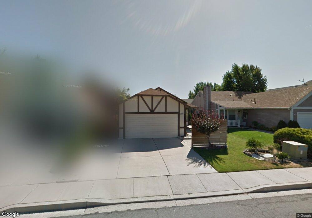
2043 Union St Sparks, NV 89434
O'Callaghan NeighborhoodEstimated Value: $400,000 - $442,000
3
Beds
2
Baths
1,266
Sq Ft
$334/Sq Ft
Est. Value
About This Home
This home is located at 2043 Union St, Sparks, NV 89434 and is currently estimated at $422,475, approximately $333 per square foot. 2043 Union St is a home located in Washoe County with nearby schools including Katherine Dunn Elementary School, George L Dilworth Middle School, and Edward C Reed High School.
Ownership History
Date
Name
Owned For
Owner Type
Purchase Details
Closed on
Nov 4, 2017
Sold by
Harrison Carol J and Cottam Shirley Mae
Bought by
Bromley Jeff E
Current Estimated Value
Home Financials for this Owner
Home Financials are based on the most recent Mortgage that was taken out on this home.
Original Mortgage
$242,250
Outstanding Balance
$201,536
Interest Rate
3.85%
Mortgage Type
New Conventional
Estimated Equity
$220,939
Purchase Details
Closed on
Jun 15, 2017
Sold by
Cottam Clarence Charles and Harrison Carol J
Bought by
Harrison Carol J
Create a Home Valuation Report for This Property
The Home Valuation Report is an in-depth analysis detailing your home's value as well as a comparison with similar homes in the area
Home Values in the Area
Average Home Value in this Area
Purchase History
| Date | Buyer | Sale Price | Title Company |
|---|---|---|---|
| Bromley Jeff E | $255,000 | Western Title Co | |
| Harrison Carol J | -- | None Available |
Source: Public Records
Mortgage History
| Date | Status | Borrower | Loan Amount |
|---|---|---|---|
| Open | Bromley Jeff E | $242,250 |
Source: Public Records
Tax History
| Year | Tax Paid | Tax Assessment Tax Assessment Total Assessment is a certain percentage of the fair market value that is determined by local assessors to be the total taxable value of land and additions on the property. | Land | Improvement |
|---|---|---|---|---|
| 2026 | $1,189 | $66,620 | $34,650 | $31,970 |
| 2024 | $1,545 | $66,418 | $32,725 | $33,693 |
| 2023 | $1,501 | $64,542 | $32,305 | $32,237 |
| 2022 | $1,458 | $53,191 | $26,005 | $27,186 |
| 2021 | $1,416 | $47,218 | $19,845 | $27,373 |
| 2020 | $1,372 | $47,486 | $19,775 | $27,711 |
| 2019 | $1,333 | $45,966 | $18,935 | $27,031 |
| 2018 | $1,294 | $40,652 | $13,965 | $26,687 |
| 2017 | $1,257 | $39,642 | $12,670 | $26,972 |
| 2016 | $1,224 | $39,163 | $11,410 | $27,753 |
| 2015 | $1,224 | $37,574 | $9,625 | $27,949 |
| 2014 | $1,168 | $34,826 | $8,225 | $26,601 |
| 2013 | -- | $31,194 | $6,090 | $25,104 |
Source: Public Records
Map
Nearby Homes
- 2140 Burnside Dr
- 1674 Sabatino Dr
- 1655 Sabatino Dr
- 1236 Flora Glen Dr
- 2227 Valencia Way
- 2407 Sunny Slope Dr Unit 1
- 2507 Sycamore Glen Dr Unit 5
- 1544 Woodhaven Ln
- 2679 Sycamore Glen Dr Unit 4
- 2659 Sycamore Glen Dr Unit 5
- 2627 Sunny Slope Dr Unit 5
- 2625 Sunny Slope Dr
- 2625 Sunny Slope Dr Unit 2
- 2624 Sunny Slope Dr Unit 10
- 1308 Coachman Dr
- 1218 Junction Dr
- 2264 Fernwood Ct
- 2363 William Morby Dr
- 2575 Howard Dr
- 1074 Glen Martin Dr
Your Personal Tour Guide
Ask me questions while you tour the home.