2043 University Commons Dr SE Unit 2043 Massillon, OH 44646
Southeast Massillon NeighborhoodEstimated Value: $249,472 - $263,000
2
Beds
2
Baths
1,759
Sq Ft
$146/Sq Ft
Est. Value
About This Home
This home is located at 2043 University Commons Dr SE Unit 2043, Massillon, OH 44646 and is currently estimated at $256,368, approximately $145 per square foot. 2043 University Commons Dr SE Unit 2043 is a home located in Stark County with nearby schools including Pfeiffer Intermediate School, Edison Middle School, and Perry High School.
Ownership History
Date
Name
Owned For
Owner Type
Purchase Details
Closed on
Aug 21, 2006
Sold by
Burnham Donald E and Burnham Marilyn A
Bought by
Rossett James F and Rossett Karen A
Current Estimated Value
Home Financials for this Owner
Home Financials are based on the most recent Mortgage that was taken out on this home.
Original Mortgage
$30,000
Outstanding Balance
$18,080
Interest Rate
6.83%
Mortgage Type
Purchase Money Mortgage
Estimated Equity
$238,288
Purchase Details
Closed on
Aug 12, 2003
Sold by
Tobin Enterprises Inc
Bought by
Burnham Donald E and Burnham Marilyn A
Create a Home Valuation Report for This Property
The Home Valuation Report is an in-depth analysis detailing your home's value as well as a comparison with similar homes in the area
Home Values in the Area
Average Home Value in this Area
Purchase History
| Date | Buyer | Sale Price | Title Company |
|---|---|---|---|
| Rossett James F | $138,000 | First American Title | |
| Burnham Donald E | $135,200 | -- |
Source: Public Records
Mortgage History
| Date | Status | Borrower | Loan Amount |
|---|---|---|---|
| Open | Rossett James F | $30,000 |
Source: Public Records
Tax History Compared to Growth
Tax History
| Year | Tax Paid | Tax Assessment Tax Assessment Total Assessment is a certain percentage of the fair market value that is determined by local assessors to be the total taxable value of land and additions on the property. | Land | Improvement |
|---|---|---|---|---|
| 2025 | -- | $75,080 | $13,760 | $61,320 |
| 2024 | -- | $75,080 | $13,760 | $61,320 |
| 2023 | $2,269 | $61,950 | $13,230 | $48,720 |
| 2022 | $2,271 | $61,950 | $13,230 | $48,720 |
| 2021 | $2,443 | $61,950 | $13,230 | $48,720 |
| 2020 | $2,070 | $53,240 | $10,570 | $42,670 |
| 2019 | $1,828 | $53,240 | $10,570 | $42,670 |
| 2018 | $1,796 | $53,240 | $10,570 | $42,670 |
| 2017 | $1,589 | $46,000 | $10,890 | $35,110 |
| 2016 | $1,598 | $46,000 | $10,890 | $35,110 |
| 2015 | $1,614 | $46,000 | $10,890 | $35,110 |
| 2014 | $1,278 | $36,750 | $8,610 | $28,140 |
| 2013 | $644 | $36,750 | $8,610 | $28,140 |
Source: Public Records
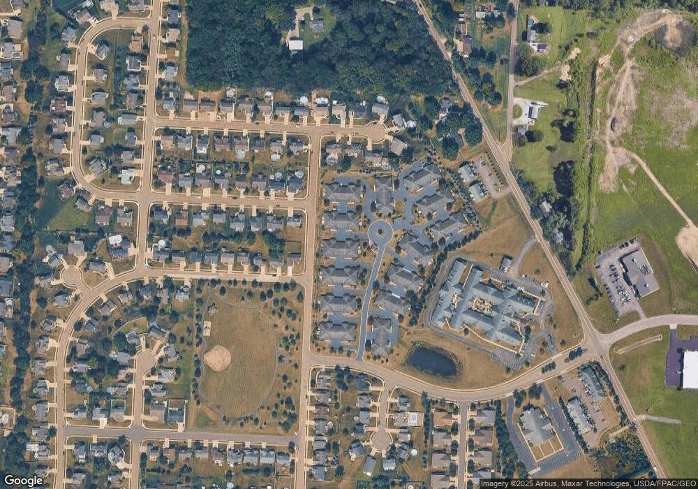
Map
Nearby Homes
- 2132 University Commons Dr SE Unit 2132
- Lot #28 Championship Cir SE
- Lot #47 Championship Cir SE
- Lot #51 Championship Cir SE
- 2160 Championship Cir SE
- 1572 Championship Cir SE
- Lot 19 Candell St SE
- Lot# 3 Candell St SE
- Lot# 7 Candell St SE
- Lot# 10 Candell St SE
- Lot# 9 Candell St SE
- Lot# 2 Candell St SE
- Lot 24 Candell Ave SW
- Lot# 5 Candell St SE
- Lot# 14 Candell St SE
- Lot# 6 Candell St SE
- Lot# 17 Candell St SE
- Lot# 4 Candell St SE
- Lot# 12 Candell St SE
- Lot# 11 Candell St SE
- 2053 University Commons Dr SE Unit 2053
- 2047 University Commons Dr SE Unit 2047
- 2033 University Commons Dr SE Unit 2033
- 2057 University Commons Dr SE Unit 2057
- 2037 University Commons Dr SE Unit 2037
- 2023 University Commons Dr SE Unit 2023
- 2027 University Commons Dr SE Unit 2027
- 2077 University Commons Dr SE Unit 2077
- 2083 University Commons Dr SE Unit 2083
- 2087 University Commons Dr SE Unit 2087
- 1973 University Commons Dr SE Unit 1973
- 1977 University Commons Dr SE Unit 1977
- 1953 University Commons Dr SE Unit 1953
- 1963 University Commons Dr SE Unit 1963
- 2133 University Commons Dr SE Unit 2133
- 1967 University Commons Dr SE Unit 1967
- 2105 University Dr SE
- 2489 Mount Union Ave SE
- 1943 University Commons Dr SE Unit 1943
- 2072 University Commons Dr SE Unit 2072