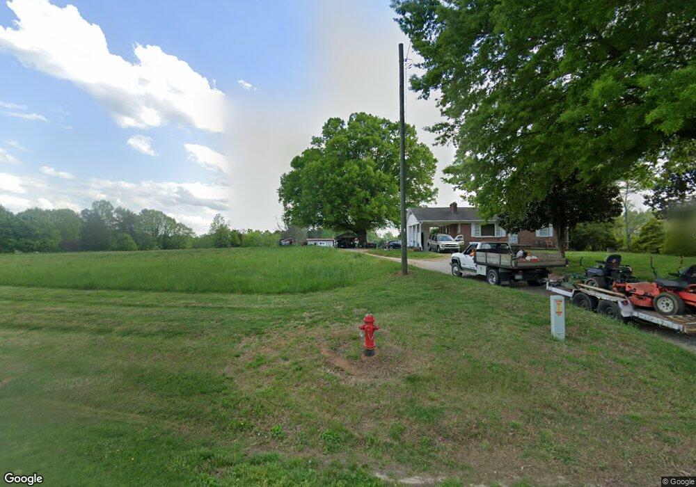
2043 Us Highway 64 W Mocksville, NC 27028
Estimated Value: $131,000 - $254,000
2
Beds
1
Bath
999
Sq Ft
$175/Sq Ft
Est. Value
About This Home
This home is located at 2043 Us Highway 64 W, Mocksville, NC 27028 and is currently estimated at $174,962, approximately $175 per square foot. 2043 Us Highway 64 W is a home with nearby schools including William R. Davie Elementary School, North Davie Middle School, and Davie County High School.
Ownership History
Date
Name
Owned For
Owner Type
Purchase Details
Closed on
Aug 1, 1988
Current Estimated Value
Create a Home Valuation Report for This Property
The Home Valuation Report is an in-depth analysis detailing your home's value as well as a comparison with similar homes in the area
Home Values in the Area
Average Home Value in this Area
Purchase History
| Date | Buyer | Sale Price | Title Company |
|---|---|---|---|
| -- | $25,000 | -- |
Source: Public Records
Tax History Compared to Growth
Tax History
| Year | Tax Paid | Tax Assessment Tax Assessment Total Assessment is a certain percentage of the fair market value that is determined by local assessors to be the total taxable value of land and additions on the property. | Land | Improvement |
|---|---|---|---|---|
| 2025 | $803 | $116,650 | $16,620 | $100,030 |
| 2024 | $679 | $87,830 | $16,620 | $71,210 |
| 2023 | $679 | $87,830 | $16,620 | $71,210 |
| 2022 | $679 | $87,830 | $16,620 | $71,210 |
| 2021 | $679 | $87,830 | $16,620 | $71,210 |
| 2020 | $623 | $80,090 | $17,860 | $62,230 |
| 2019 | $623 | $80,090 | $17,860 | $62,230 |
| 2018 | $623 | $80,090 | $17,860 | $62,230 |
| 2017 | $615 | $80,090 | $0 | $0 |
| 2016 | $628 | $81,730 | $0 | $0 |
| 2015 | $628 | $81,730 | $0 | $0 |
| 2014 | $539 | $81,730 | $0 | $0 |
| 2013 | -- | $81,730 | $0 | $0 |
Source: Public Records
Map
Nearby Homes
- 2082 US Highway 64 W
- 567 Godbey Rd
- 192 Culloden Dr
- 187 Caravan Ln
- 172 Murphy Meadow Rd
- 171 Murphy Meadow Rd
- 168 Murphy Rd
- 167 Murphy Meadow Rd
- 165 Murphy Meadow Rd
- 161 Murphy Meadow Rd
- 119 Heritage Valley Ct
- 120 Heritage Valley Ct
- 111 Heritage Valley Ct
- 107 Heritage Valley Ct
- 160 Murphy Meadow Rd
- 168 Murphy Meadow Rd
- 2067 Us Highway 64 W
- 2026 Us Highway 64 W
- 2048 Us Highway 64 W
- 130 Hampton Ln
- 2073 Us Highway 64 W
- 1995 Us Highway 64 W
- 2022 Us Highway 64 W
- 2074 U S 64
- 2074 Us Highway 64 W
- 140 Hampton Ln
- 147 Hampton Ln
- 2006 Us Highway 64 W
- 2085 Us Highway 64 W
- 153 Bryant Ln
- 2095 Us Highway 64 W
- 2010 Us Highway 64 W
- 1974 Us Highway 64 W
- 1971 Us Highway 64 W
- 2105 Us Highway 64 W
- Lot Bryant Ln