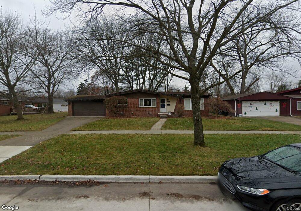
20431 Brentwood St Livonia, MI 48152
Estimated Value: $299,000 - $356,000
5
Beds
3
Baths
1,688
Sq Ft
$190/Sq Ft
Est. Value
About This Home
This home is located at 20431 Brentwood St, Livonia, MI 48152 and is currently estimated at $321,535, approximately $190 per square foot. 20431 Brentwood St is a home located in Wayne County with nearby schools including Clarenceville High School, Grand River Academy, and Concordia Lutheran School.
Ownership History
Date
Name
Owned For
Owner Type
Purchase Details
Closed on
Nov 21, 2016
Sold by
Cox Michael J
Bought by
Cox Michael J
Current Estimated Value
Home Financials for this Owner
Home Financials are based on the most recent Mortgage that was taken out on this home.
Original Mortgage
$132,000
Outstanding Balance
$106,306
Interest Rate
3.52%
Mortgage Type
New Conventional
Estimated Equity
$215,229
Purchase Details
Closed on
Apr 8, 2011
Sold by
Wechsler Helen J and The Esther C Wechsler Revocabl
Bought by
Cox Michael
Create a Home Valuation Report for This Property
The Home Valuation Report is an in-depth analysis detailing your home's value as well as a comparison with similar homes in the area
Home Values in the Area
Average Home Value in this Area
Purchase History
| Date | Buyer | Sale Price | Title Company |
|---|---|---|---|
| Cox Michael J | -- | Devon Title Agency Inc | |
| Cox Michael | $105,000 | Fidelity National Title |
Source: Public Records
Mortgage History
| Date | Status | Borrower | Loan Amount |
|---|---|---|---|
| Open | Cox Michael J | $132,000 |
Source: Public Records
Tax History Compared to Growth
Tax History
| Year | Tax Paid | Tax Assessment Tax Assessment Total Assessment is a certain percentage of the fair market value that is determined by local assessors to be the total taxable value of land and additions on the property. | Land | Improvement |
|---|---|---|---|---|
| 2025 | $1,570 | $144,900 | $0 | $0 |
| 2024 | $1,570 | $126,800 | $0 | $0 |
| 2023 | $1,501 | $113,400 | $0 | $0 |
| 2022 | $2,576 | $103,500 | $0 | $0 |
| 2021 | $2,511 | $99,700 | $0 | $0 |
| 2019 | $2,200 | $84,100 | $0 | $0 |
| 2018 | $1,155 | $78,200 | $0 | $0 |
| 2017 | $1,983 | $71,200 | $0 | $0 |
| 2016 | $2,109 | $71,200 | $0 | $0 |
| 2015 | $5,284 | $66,100 | $0 | $0 |
| 2012 | -- | $54,140 | $10,500 | $43,640 |
Source: Public Records
Map
Nearby Homes
- 28418 W 8 Mile Rd Unit C1
- 28418 W 8 Mile Rd Unit A1
- 20555 Angling St
- 20577 Angling St
- 29135 Scotten St
- 20229 Floral St
- 20910 Collingham Ave
- 20159 Deering St
- 21122 Waldron St
- 28730 Grand River Ave
- 27725 Norfolk St
- 21200 Collingham Ave
- 21221 Hamilton Ave
- 21304 Rockwell St
- 20135 Saint Francis St
- 20352 Beatrice St
- 20919 Saint Francis St
- 21408 Collingham Ave
- 21411 Collingham Ave
- 20280 Melvin St
- 20361 Weyher St
- 20466 Maplewood St
- 20444 Maplewood St
- 20345 Weyher St
- 20426 Maplewood St Unit Bldg-Unit
- 20426 Maplewood St
- 20414 Maplewood St
- 20333 Weyher St
- 20358 Maplewood St
- 20436 Brentwood St
- 20448 Brentwood St
- 20424 Brentwood St
- 20412 Brentwood St
- 20344 Maplewood St
- 20460 Brentwood St
- 20358 Weyher St
- 20321 Weyher St
- 20471 Maplewood St
- 20400 Brentwood St
- 20457 Maplewood St