20433 Amberson Rd Spring Run, PA 17262
Estimated Value: $216,000 - $403,000
--
Bed
--
Bath
1,521
Sq Ft
$215/Sq Ft
Est. Value
About This Home
This home is located at 20433 Amberson Rd, Spring Run, PA 17262 and is currently estimated at $326,639, approximately $214 per square foot. 20433 Amberson Rd is a home located in Franklin County with nearby schools including Fannett-Metal Elementary School and Fannett-Metal Middle School.
Ownership History
Date
Name
Owned For
Owner Type
Purchase Details
Closed on
Sep 5, 2018
Sold by
Greenwalt Ehrhart Linda S and Ehrhart Steven M
Bought by
Hile William K and Hile Debra L
Current Estimated Value
Home Financials for this Owner
Home Financials are based on the most recent Mortgage that was taken out on this home.
Original Mortgage
$180,000
Outstanding Balance
$156,647
Interest Rate
4.5%
Mortgage Type
Future Advance Clause Open End Mortgage
Estimated Equity
$169,992
Create a Home Valuation Report for This Property
The Home Valuation Report is an in-depth analysis detailing your home's value as well as a comparison with similar homes in the area
Home Values in the Area
Average Home Value in this Area
Purchase History
| Date | Buyer | Sale Price | Title Company |
|---|---|---|---|
| Hile William K | $228,000 | None Available |
Source: Public Records
Mortgage History
| Date | Status | Borrower | Loan Amount |
|---|---|---|---|
| Open | Hile William K | $180,000 |
Source: Public Records
Tax History Compared to Growth
Tax History
| Year | Tax Paid | Tax Assessment Tax Assessment Total Assessment is a certain percentage of the fair market value that is determined by local assessors to be the total taxable value of land and additions on the property. | Land | Improvement |
|---|---|---|---|---|
| 2025 | $1,438 | $12,250 | $1,200 | $11,050 |
| 2024 | $1,438 | $12,250 | $1,200 | $11,050 |
| 2023 | $1,414 | $12,250 | $1,200 | $11,050 |
| 2022 | $1,414 | $12,250 | $1,200 | $11,050 |
| 2021 | $1,414 | $12,250 | $1,200 | $11,050 |
| 2020 | $1,408 | $12,250 | $1,200 | $11,050 |
| 2019 | $1,403 | $12,250 | $1,200 | $11,050 |
| 2018 | $1,384 | $12,250 | $1,200 | $11,050 |
| 2017 | $1,354 | $12,250 | $1,200 | $11,050 |
| 2016 | $351 | $12,250 | $1,200 | $11,050 |
| 2015 | $327 | $12,250 | $1,200 | $11,050 |
| 2014 | $327 | $12,250 | $1,200 | $11,050 |
Source: Public Records
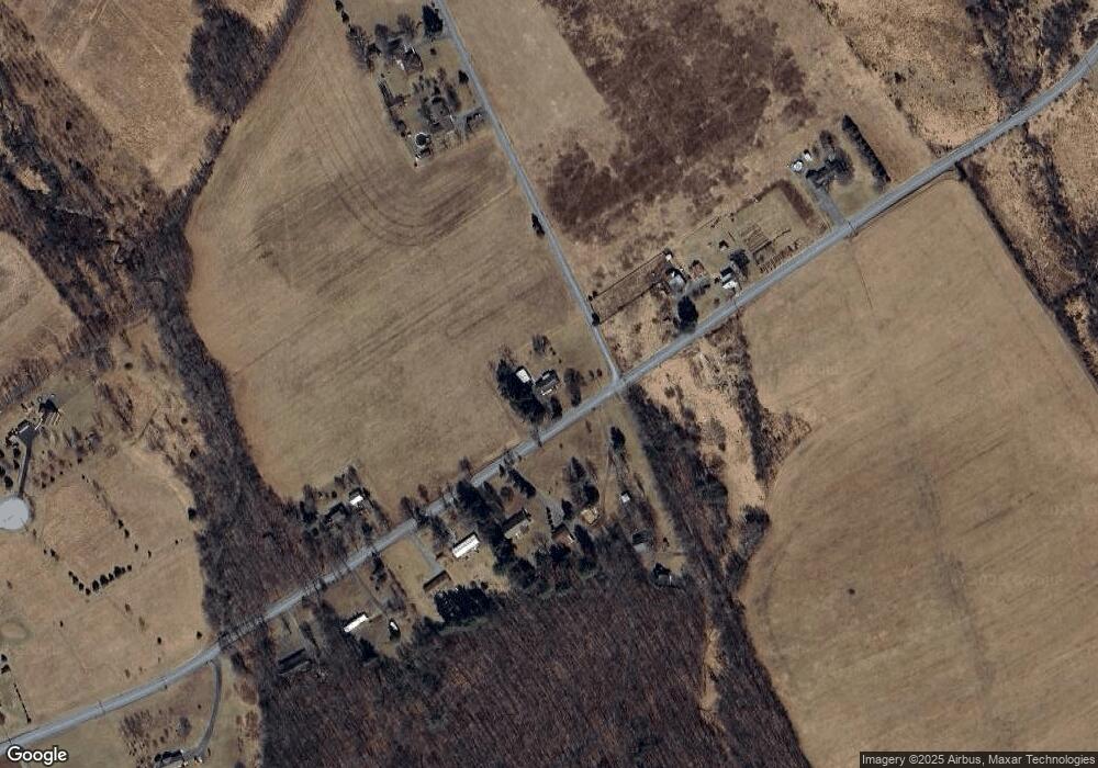
Map
Nearby Homes
- 0 Cumberland Hwy
- 18493 Amberson Rd
- 21571 Path Valley Rd
- 17005 Cumberland Hwy
- 22504 Igloo Dr
- 22556 Loop Rd
- 23570 Path Valley Rd
- 19031 Back Rd
- 18764 Dry Run Rd W
- 10119 Cardinal Dr
- 13515 Cumberland Hwy
- TRACT 2: 36.45+/- AC Spring Run Rd
- 66± ACRES Spring Run Rd
- TRACT 1: 19032 Spring Run Rd
- 8172 Roxbury Rd
- TRACT 3: 19108 Spring Run Rd
- 18927 Spring Run Rd
- 1203 Roxbury Rd
- 7345 Horse Valley Rd
- 0 Mount Foot Spur
- 20452 Amberson Rd
- 20420 Amberson Rd
- 20380 Amberson Rd
- 20376 Amberson Rd
- 20507 Amberson Rd
- 20345 Amberson Rd
- 20345 Amberson Rd
- 16934 Stewart Rd
- 20338 Amberson Rd
- 16966 Stewart Rd
- 20557 Amberson Rd
- 20328 Amberson Rd
- 17032 Stewart Rd
- 20274 Amberson Rd
- 16889 Panoramic Rd
- 20400 Amberson Rd
- 16860 Panoramic Rd
- 16873 Panoramic Rd
- 16828 Panoramic Rd
- 20218 Amberson Rd