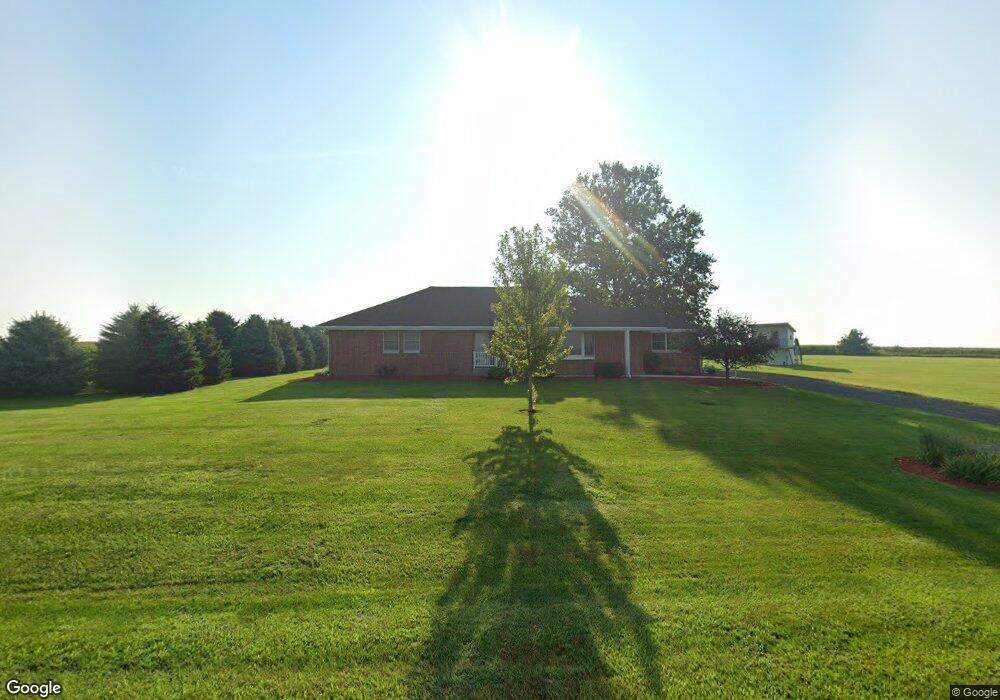
20436 Freeport Rd Sterling, IL 61081
Estimated Value: $172,000 - $208,000
Studio
--
Bath
--
Sq Ft
73,181
Sq Ft Lot
About This Home
This home is located at 20436 Freeport Rd, Sterling, IL 61081 and is currently estimated at $190,000. 20436 Freeport Rd is a home located in Whiteside County.
Ownership History
Date
Name
Owned For
Owner Type
Purchase Details
Closed on
Jul 6, 2005
Sold by
Keller Thomas L
Bought by
Taylor Adin E and Taylor Emily J
Current Estimated Value
Home Financials for this Owner
Home Financials are based on the most recent Mortgage that was taken out on this home.
Original Mortgage
$110,000
Outstanding Balance
$57,755
Interest Rate
5.75%
Mortgage Type
New Conventional
Estimated Equity
$132,245
Create a Home Valuation Report for This Property
The Home Valuation Report is an in-depth analysis detailing your home's value as well as a comparison with similar homes in the area
Purchase History
| Date | Buyer | Sale Price | Title Company |
|---|---|---|---|
| Taylor Adin E | $140,000 | None Available |
Source: Public Records
Mortgage History
| Date | Status | Borrower | Loan Amount |
|---|---|---|---|
| Open | Taylor Adin E | $110,000 |
Source: Public Records
Tax History
| Year | Tax Paid | Tax Assessment Tax Assessment Total Assessment is a certain percentage of the fair market value that is determined by local assessors to be the total taxable value of land and additions on the property. | Land | Improvement |
|---|---|---|---|---|
| 2024 | $715 | $10,517 | $7,659 | $2,858 |
| 2023 | $667 | $9,795 | $7,133 | $2,662 |
| 2022 | $622 | $8,942 | $6,512 | $2,430 |
| 2021 | $320 | $4,508 | $2,254 | $2,254 |
| 2020 | $304 | $4,248 | $2,124 | $2,124 |
| 2019 | $287 | $3,930 | $1,965 | $1,965 |
| 2018 | $282 | $3,876 | $1,938 | $1,938 |
| 2017 | $283 | $3,758 | $1,879 | $1,879 |
| 2016 | $302 | $3,990 | $1,995 | $1,995 |
| 2015 | $290 | $3,790 | $1,895 | $1,895 |
| 2014 | $299 | $3,916 | $1,958 | $1,958 |
| 2013 | $290 | $3,790 | $1,895 | $1,895 |
Source: Public Records
Map
Nearby Homes
- 0 Pilgrim Rd Unit 22272762
- 1725 Heritage Dr
- Lot 3 Lenox Rd
- Lot 5 Lenox Rd
- Lot 4 Lenox Rd
- 17619 Grandview Dr
- 0 E Lincolnway Unit MRD12284937
- 0000 Hubbard St
- 2408 16th Ave
- 2212 12th Ave
- 905 E 21st St
- Lot 4 E 19th St
- Lot 1 E 19th St
- 1825 18th Ave
- Lot 403 E 21st St
- 802 E 19th St
- 2912 Woodlawn Rd
- 1816 Locust St
- 1307 Sinnissippi Park Rd
- 1408 16th Ave
- 20436 Freeport Rd
- 20342 Freeport Rd
- 20227 Freeport Rd
- 20734 Freeport Rd
- 20024 Freeport Rd
- 20911 Freeport Rd
- 20914 Freeport Rd
- 19877 Freeport Rd
- 20987 Freeport Rd
- 20988 Freeport Rd
- 30085 Penrose Rd
- 29545 Penrose Rd
- 29909 Penrose Rd
- 29610 Capp Rd
- 29986 Penrose Rd
- 30078 Penrose Rd
- 29890 Penrose Rd
- 29942 Penrose Rd
- 29864 Penrose Rd
Your Personal Tour Guide
Ask me questions while you tour the home.