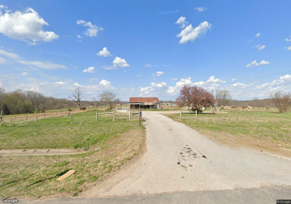
20438 E Hwy 412 Springdale, AR 72764
Estimated Value: $382,000
Studio
2
Baths
1,431
Sq Ft
$267/Sq Ft
Est. Value
About This Home
This home is located at 20438 E Hwy 412, Springdale, AR 72764 and is currently estimated at $382,000, approximately $266 per square foot. 20438 E Hwy 412 is a home located in Washington County with nearby schools including Sonora Elementary School, Sonora Middle School, and Lakeside Junior High School.
Ownership History
Date
Name
Owned For
Owner Type
Purchase Details
Closed on
Feb 10, 2015
Sold by
Jelyn Properties Llc
Bought by
J & K Holdings Of Nwa Llc
Current Estimated Value
Home Financials for this Owner
Home Financials are based on the most recent Mortgage that was taken out on this home.
Original Mortgage
$328,105
Interest Rate
3.92%
Mortgage Type
Future Advance Clause Open End Mortgage
Purchase Details
Closed on
Apr 21, 2011
Sold by
Davis Jeff and Davis Lynda
Bought by
Davis Jeff and Davis Lynda
Create a Home Valuation Report for This Property
The Home Valuation Report is an in-depth analysis detailing your home's value as well as a comparison with similar homes in the area
Purchase History
| Date | Buyer | Sale Price | Title Company |
|---|---|---|---|
| J & K Holdings Of Nwa Llc | $335,000 | None Available | |
| Davis Jeff | -- | None Available |
Source: Public Records
Mortgage History
| Date | Status | Borrower | Loan Amount |
|---|---|---|---|
| Closed | J & K Holdings Of Nwa Llc | $328,105 |
Source: Public Records
Tax History
| Year | Tax Paid | Tax Assessment Tax Assessment Total Assessment is a certain percentage of the fair market value that is determined by local assessors to be the total taxable value of land and additions on the property. | Land | Improvement |
|---|---|---|---|---|
| 2025 | $0 | $10 | $10 | $0 |
| 2024 | $342 | $8,190 | $8,080 | $110 |
| 2023 | $320 | $8,190 | $8,080 | $110 |
| 2022 | $291 | $6,190 | $6,080 | $110 |
| 2021 | $291 | $6,190 | $6,080 | $110 |
| 2020 | $782 | $17,420 | $6,080 | $11,340 |
| 2019 | $714 | $14,350 | $4,070 | $10,280 |
| 2018 | $714 | $14,350 | $4,070 | $10,280 |
| 2017 | $667 | $14,350 | $4,070 | $10,280 |
| 2016 | $707 | $14,350 | $4,070 | $10,280 |
| 2015 | $617 | $14,350 | $4,070 | $10,280 |
| 2014 | $540 | $10,750 | $5,470 | $5,280 |
Source: Public Records
Map
Nearby Homes
- 21910 Tall Timber Rd
- 20619 Wade Rd
- 21576 War Eagle Blacktop Rd
- TBD Tract B Hardwood Rd
- 0 War Eagle Wc 507
- 19840 Groth Rd
- 22490 Derik Rd
- 20818 N Lakeshore Dr
- 0 N Lakeshore Wc 1064
- 20507 Highway 303 S
- 19123 Hill Rd
- 20645 Lakeshore Dr
- 22719 Raymond St
- TBD Hickory Springs Rd
- 21732 Chinquapin Rd
- 0 44 Acres Ellenbarger Wc 516
- 22631 Jennings Dr
- Tbd Hickory Springs Rd
- 0 Hickory Springs Rd
- 4.32 AC Barzel Point Rd
- 22118 E Highway 412
- 0000 Johnson Rd
- 17101 Johnston Rd
- 20467 E Highway 412
- 21109 Johnston Rd
- 20602 E Highway 412
- 20646 E Hwy 412
- 20907 Johnston Rd
- 20327 E Highway 412
- 21002 Johnston Rd
- 20619 E Highway 412
- 20665 E Highway 412
- 20380 E Highway 412
- 0 Hwy 412 W Unit 299733
- 0 Hwy 412 W Unit 392240
- 0 Hwy 412 W Unit 453981
- 0 Hwy 412 W Unit 453418
- 0 Hwy 412 W Unit 520706
- 0 Hwy 412 W Unit 564507
- 0 Hwy 412 W Unit 629775
Your Personal Tour Guide
Ask me questions while you tour the home.