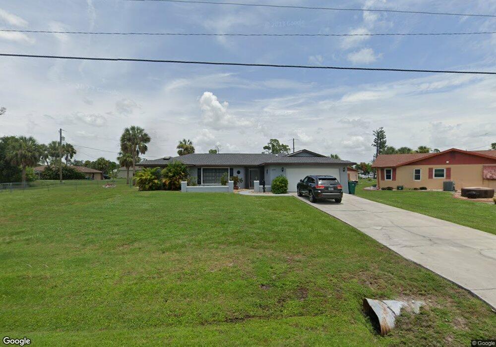
20438 Quesada Ave Port Charlotte, FL 33952
Estimated Value: $295,020 - $313,000
3
Beds
2
Baths
1,742
Sq Ft
$174/Sq Ft
Est. Value
About This Home
This home is located at 20438 Quesada Ave, Port Charlotte, FL 33952 and is currently estimated at $303,505, approximately $174 per square foot. 20438 Quesada Ave is a home located in Charlotte County with nearby schools including Liberty Elementary School, Murdock Middle School, and Port Charlotte High School.
Ownership History
Date
Name
Owned For
Owner Type
Purchase Details
Closed on
Sep 22, 1994
Sold by
Harker Robert T and Harker Steven C
Bought by
Driscoll Paul Earnest and Driscoll Louise F
Current Estimated Value
Purchase Details
Closed on
Jan 27, 1994
Sold by
Rieger Louis C and Rieger Edna L
Bought by
Driscoll Paul Ernest and Driscoll Louise F M
Home Financials for this Owner
Home Financials are based on the most recent Mortgage that was taken out on this home.
Original Mortgage
$50,000
Interest Rate
7.1%
Create a Home Valuation Report for This Property
The Home Valuation Report is an in-depth analysis detailing your home's value as well as a comparison with similar homes in the area
Home Values in the Area
Average Home Value in this Area
Purchase History
| Date | Buyer | Sale Price | Title Company |
|---|---|---|---|
| Driscoll Paul Earnest | $3,500 | -- | |
| Driscoll Paul Ernest | $75,000 | -- |
Source: Public Records
Mortgage History
| Date | Status | Borrower | Loan Amount |
|---|---|---|---|
| Previous Owner | Driscoll Paul Ernest | $50,000 |
Source: Public Records
Tax History Compared to Growth
Tax History
| Year | Tax Paid | Tax Assessment Tax Assessment Total Assessment is a certain percentage of the fair market value that is determined by local assessors to be the total taxable value of land and additions on the property. | Land | Improvement |
|---|---|---|---|---|
| 2023 | $1,025 | $96,210 | $0 | $0 |
| 2022 | $971 | $93,408 | $0 | $0 |
| 2021 | $960 | $90,687 | $0 | $0 |
| 2020 | $1,076 | $89,435 | $0 | $0 |
| 2019 | $1,007 | $87,424 | $0 | $0 |
| 2018 | $935 | $85,794 | $0 | $0 |
| 2017 | $925 | $84,029 | $0 | $0 |
| 2016 | $916 | $82,301 | $0 | $0 |
| 2015 | $1,470 | $81,729 | $0 | $0 |
| 2014 | $1,436 | $81,080 | $0 | $0 |
Source: Public Records
Map
Nearby Homes
- 20430 Sapling Ave
- 1196 Hinton St
- 20431 Stardust Ave
- 1181 Oxsalida St
- 1170 Peppertree Ln
- 1160 Peppertree Ln
- 1366 Preston St
- 1302 Arrow St
- 20284 Emerald Ave
- 20330 Emerald Ave
- 20370 Mount Prospect Ave
- 20347 Mount Prospect Ave
- 1358 Fargo St
- 1317 Arrow St
- 20307 Zelda Ave
- 20407 Laverne Ave
- 1381 Fargo St
- 1357 Nimrod St
- 1053 Yarmouth St
- 284 Hinton St
- 20431 Sapling Ave
- 20439 Sapling Ave
- 20447 Sapling Ave
- 20423 Sapling Ave
- 20433 Quesada Ave
- 20425 Quesada Ave
- 1564 Hinton St
- 1412 Hinton St
- 1572 Hinton St
- 1269 Hinton St
- 1262 Street
- 1262 Hinton St
- 1252 Hinton St
- 1253 Oxsalida St
- 20438 Sapling Ave
- 20409 Quesada Ave
- 20434 Emerald Ave
- 20442 Emerald Ave
- 1236 Oxsalida St