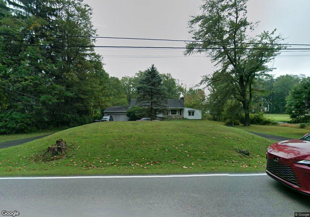
2044 Bethel Rd Lansdale, PA 19446
Estimated Value: $526,000 - $614,893
3
Beds
3
Baths
2,134
Sq Ft
$259/Sq Ft
Est. Value
About This Home
This home is located at 2044 Bethel Rd, Lansdale, PA 19446 and is currently estimated at $553,223, approximately $259 per square foot. 2044 Bethel Rd is a home located in Montgomery County with nearby schools including Worcester Elementary School, Skyview Upper Elementary School, and Arcola Intermediate School.
Ownership History
Date
Name
Owned For
Owner Type
Purchase Details
Closed on
Oct 20, 2009
Sold by
Miller Winifred R
Bought by
Wierman Vincent J
Current Estimated Value
Home Financials for this Owner
Home Financials are based on the most recent Mortgage that was taken out on this home.
Original Mortgage
$245,471
Outstanding Balance
$160,125
Interest Rate
5.06%
Estimated Equity
$393,098
Create a Home Valuation Report for This Property
The Home Valuation Report is an in-depth analysis detailing your home's value as well as a comparison with similar homes in the area
Home Values in the Area
Average Home Value in this Area
Purchase History
| Date | Buyer | Sale Price | Title Company |
|---|---|---|---|
| Wierman Vincent J | $250,000 | None Available |
Source: Public Records
Mortgage History
| Date | Status | Borrower | Loan Amount |
|---|---|---|---|
| Open | Wierman Vincent J | $245,471 |
Source: Public Records
Tax History Compared to Growth
Tax History
| Year | Tax Paid | Tax Assessment Tax Assessment Total Assessment is a certain percentage of the fair market value that is determined by local assessors to be the total taxable value of land and additions on the property. | Land | Improvement |
|---|---|---|---|---|
| 2025 | $6,338 | $167,340 | $64,910 | $102,430 |
| 2024 | $6,338 | $167,340 | $64,910 | $102,430 |
| 2023 | $6,079 | $167,340 | $64,910 | $102,430 |
| 2022 | $5,962 | $167,340 | $64,910 | $102,430 |
| 2021 | $5,844 | $167,340 | $64,910 | $102,430 |
| 2020 | $5,736 | $167,340 | $64,910 | $102,430 |
| 2019 | $5,680 | $167,340 | $64,910 | $102,430 |
| 2018 | $652 | $167,340 | $64,910 | $102,430 |
| 2017 | $5,462 | $167,340 | $64,910 | $102,430 |
| 2016 | $5,396 | $167,340 | $64,910 | $102,430 |
| 2015 | $5,204 | $167,340 | $64,910 | $102,430 |
| 2014 | $5,204 | $167,340 | $64,910 | $102,430 |
Source: Public Records
Map
Nearby Homes
- 2099 Deep Meadow Ln
- 2098 Deep Meadow Ln
- 1921 Whitehall Rd
- 2 Capri Ln Unit KINSLEY
- 2564 W Skippack Pike
- 2725 Skippack Pike
- 2624 Hawthorn Dr
- 2501 Pond View Dr
- 1401 Oak Cir
- 870 Reynards Run
- 388 Hobson Place
- 376 Hobson Place
- 2203 Weber Rd
- 1307 Lilac Ct
- 3106 Lilac Ct
- 5403 Lilac Ct
- 311 Primrose Dr
- 4104 Lilac Ct
- 4103 Lilac Ct
- 4204 Lilac Ct
- 2046 Bethel Rd
- 2034 Bethel Rd
- 2052 Bethel Rd
- 2058 Bethel Rd
- 2024 Bethel Rd
- 2020 Bethel Rd
- 2017 Bethel Rd
- 2016 Bethel Rd
- 2015 Bethel Rd
- 2023 Bethel Rd
- 2012 Bethel Rd
- 2009 Bethel Rd
- 2110 Bethel Rd
- 2502 Severn Ct
- 2587 Skippack Pike
- 2111 Bethel Rd
- 2093 Deep Meadow Ln
- 2583 Skippack Pike
- 2615 Skippack Pike
- 2097 Deep Meadow Ln