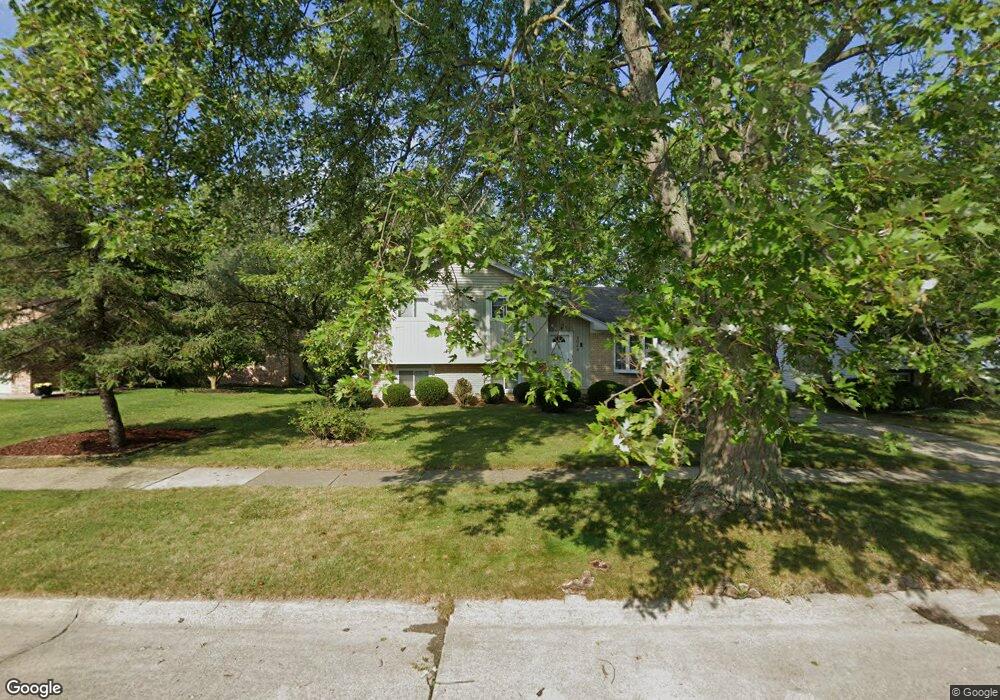
2044 Brookfield St Canton, MI 48188
Estimated Value: $286,521 - $374,000
Studio
1
Bath
1,713
Sq Ft
$200/Sq Ft
Est. Value
About This Home
This home is located at 2044 Brookfield St, Canton, MI 48188 and is currently estimated at $342,130, approximately $199 per square foot. 2044 Brookfield St is a home located in Wayne County with nearby schools including Bentley Elementary School, Canton High School, and Salem High School.
Ownership History
Date
Name
Owned For
Owner Type
Purchase Details
Closed on
Feb 25, 2015
Sold by
The Ronald L Dorogi Living Trust
Bought by
Dorogi Brian J
Current Estimated Value
Home Financials for this Owner
Home Financials are based on the most recent Mortgage that was taken out on this home.
Original Mortgage
$82,000
Interest Rate
3.6%
Mortgage Type
New Conventional
Purchase Details
Closed on
Sep 26, 2007
Sold by
Dorogi Ronald L
Bought by
Dorogi Ronald L and The Ronald L Dorogi Living Trust
Purchase Details
Closed on
Apr 27, 2006
Sold by
Dorogi Laura C
Bought by
Dorogi Ronald L
Create a Home Valuation Report for This Property
The Home Valuation Report is an in-depth analysis detailing your home's value as well as a comparison with similar homes in the area
Home Values in the Area
Average Home Value in this Area
Purchase History
| Date | Buyer | Sale Price | Title Company |
|---|---|---|---|
| Dorogi Brian J | $164,000 | Cislo Title Co | |
| Dorogi Ronald L | -- | Cislo Title Co | |
| Dorogi Ronald L | -- | Title Source Inc |
Source: Public Records
Mortgage History
| Date | Status | Borrower | Loan Amount |
|---|---|---|---|
| Closed | Dorogi Brian J | $82,000 |
Source: Public Records
Tax History
| Year | Tax Paid | Tax Assessment Tax Assessment Total Assessment is a certain percentage of the fair market value that is determined by local assessors to be the total taxable value of land and additions on the property. | Land | Improvement |
|---|---|---|---|---|
| 2025 | $1,374 | $136,000 | $0 | $0 |
| 2024 | $1,335 | $133,600 | $0 | $0 |
| 2023 | $1,273 | $119,100 | $0 | $0 |
| 2022 | $2,863 | $109,300 | $0 | $0 |
| 2021 | $2,775 | $103,700 | $0 | $0 |
| 2020 | $2,737 | $102,800 | $0 | $0 |
| 2019 | $2,688 | $88,330 | $0 | $0 |
| 2018 | $1,082 | $84,530 | $0 | $0 |
| 2017 | $2,807 | $83,800 | $0 | $0 |
| 2016 | $2,454 | $81,900 | $0 | $0 |
| 2015 | $5,944 | $76,810 | $0 | $0 |
| 2013 | $5,758 | $63,400 | $0 | $0 |
| 2010 | -- | $63,550 | $28,120 | $35,430 |
Source: Public Records
Map
Nearby Homes
- 1891 Vine Way Dr Unit 27
- 2328 Amber Dr
- 2210 Woodmont Dr W
- 43662 Amber Ct
- 43674 Christopher Ct
- 1861 N Arbor Way Dr Unit 26
- 1632 Bennington Ct Unit 1632
- 345 Canton Center Rd
- 49963 Kent Ct
- 44125 Michigan Ave
- 49976 Kent Ct
- 49937 Kent Ct
- 0000 Inkster Rd
- 46501 Killarney Cir
- 0 Haggerty Unit 23129906
- 42859 Palmer Rd
- 1752 Thistle Dr
- 1849 Wentworth Ct
- 45169 Middlebury Ln
- 802 Cherry Stone Dr
- 2032 Brookfield St
- 2056 Brookfield St
- 2020 Brookfield St
- 2068 Brookfield St
- 2008 Brookfield St
- 2080 Brookfield St
- 2041 Brookfield St
- 2053 Brookfield St
- 2031 Brookfield St
- 2065 Brookfield St
- 2017 Brookfield St
- 1996 Brookfield St
- 2079 Brookfield St
- 2005 Brookfield St
- 2417 Woodmont Dr E
- 2433 Woodmont Dr E
- 1984 Brookfield St
- 2449 Woodmont Dr E Unit Bldg-Unit
- 2449 Woodmont Dr E
- 2401 Woodmont Dr E Unit Bldg-Unit
Your Personal Tour Guide
Ask me questions while you tour the home.