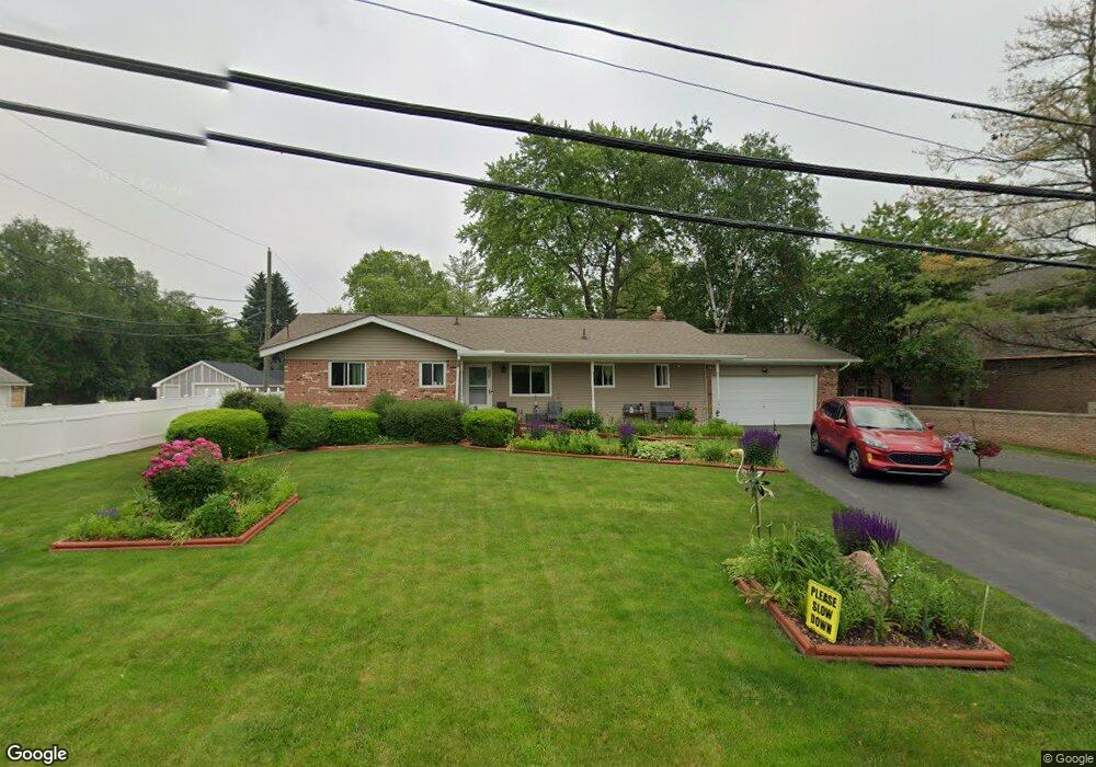
2044 Dexter Rd Auburn Hills, MI 48326
Estimated Value: $296,894 - $303,000
3
Beds
2
Baths
1,357
Sq Ft
$221/Sq Ft
Est. Value
About This Home
This home is located at 2044 Dexter Rd, Auburn Hills, MI 48326 and is currently estimated at $299,974, approximately $221 per square foot. 2044 Dexter Rd is a home located in Oakland County with nearby schools including Rogers Elementary, Pontiac Middle School, and Pontiac High School.
Ownership History
Date
Name
Owned For
Owner Type
Purchase Details
Closed on
Mar 1, 2001
Sold by
Moceri D M Inv
Bought by
Grenier Donald
Current Estimated Value
Home Financials for this Owner
Home Financials are based on the most recent Mortgage that was taken out on this home.
Original Mortgage
$146,697
Outstanding Balance
$53,417
Interest Rate
7.02%
Estimated Equity
$246,557
Purchase Details
Closed on
Nov 18, 1997
Sold by
Moceri Dominic
Bought by
Moceri Dm Inv
Purchase Details
Closed on
Aug 29, 1995
Sold by
Webb Rodney G
Bought by
D M Investments
Create a Home Valuation Report for This Property
The Home Valuation Report is an in-depth analysis detailing your home's value as well as a comparison with similar homes in the area
Home Values in the Area
Average Home Value in this Area
Purchase History
| Date | Buyer | Sale Price | Title Company |
|---|---|---|---|
| Grenier Donald | $149,000 | -- | |
| Moceri Dm Inv | -- | -- | |
| D M Investments | $135,000 | -- |
Source: Public Records
Mortgage History
| Date | Status | Borrower | Loan Amount |
|---|---|---|---|
| Open | Grenier Donald | $146,697 |
Source: Public Records
Tax History Compared to Growth
Tax History
| Year | Tax Paid | Tax Assessment Tax Assessment Total Assessment is a certain percentage of the fair market value that is determined by local assessors to be the total taxable value of land and additions on the property. | Land | Improvement |
|---|---|---|---|---|
| 2024 | $1,338 | $122,030 | $0 | $0 |
| 2023 | $1,277 | $111,480 | $0 | $0 |
| 2022 | $2,253 | $99,840 | $0 | $0 |
| 2021 | $2,216 | $94,470 | $0 | $0 |
| 2020 | $1,202 | $88,820 | $0 | $0 |
| 2019 | $2,035 | $86,450 | $0 | $0 |
| 2018 | $1,991 | $81,350 | $0 | $0 |
| 2017 | $1,952 | $79,460 | $0 | $0 |
| 2016 | $1,938 | $74,420 | $0 | $0 |
| 2015 | -- | $66,490 | $0 | $0 |
| 2014 | -- | $60,250 | $0 | $0 |
| 2011 | -- | $60,970 | $0 | $0 |
Source: Public Records
Map
Nearby Homes
- 2300 Richwood Rd
- 2375 Snellbrook Rd
- 2325 Walnut Rd
- 2400 Walnut Rd
- 2274 Allerton Rd
- 2085 Allerton Rd
- 2464 Allerton Rd
- 2526 Patrick Henry Rd
- 3164 Bookham Cir
- 3160 Bookham Cir
- 2530 Patrick Henry St
- 2638 Patrick Henry Rd
- 3101 Elstead St
- 2641 Konrad Ct Unit 6
- 2551 James Rd
- 3111 Ramzi Ln
- 1580 N Opdyke Rd
- 3024 Carly Ct Unit 57
- 151 Cedar Isle Dr
- 4444 Walton Blvd
- 3005 University Dr
- 2054 Dexter Rd
- 2064 Dexter Rd
- 2025 Dexter Rd
- 2066 Dexter Rd
- 2055 Dexter Rd
- 2061 Dexter Rd
- 2090 Dexter Rd
- 2069 Dexter Rd
- 2024 Richwood Rd
- 2110 Dexter Rd
- 2087 Dexter Rd
- 2115 Snellbrook Rd
- 2132 Dexter Rd
- 2040 Richwood Rd
- 2056 Richwood Rd
- 2105 Dexter Rd
- 2899 Pontiac Ct
- 2016 Richwood Rd
- 2074 Richwood Rd