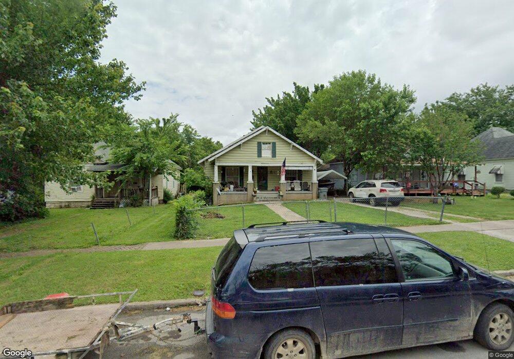
2044 N Main Ave Unit 1 Springfield, MO 65803
Woodland Heights NeighborhoodEstimated Value: $129,385 - $176,000
2
Beds
1
Bath
1,208
Sq Ft
$122/Sq Ft
Est. Value
About This Home
This home is located at 2044 N Main Ave Unit 1, Springfield, MO 65803 and is currently estimated at $146,846, approximately $121 per square foot. 2044 N Main Ave Unit 1 is a home located in Greene County with nearby schools including Bowerman Elementary School, Reed Academy, and Hillcrest High School.
Ownership History
Date
Name
Owned For
Owner Type
Purchase Details
Closed on
Jan 3, 2023
Sold by
Built By Brett Inc
Bought by
Wilson Lance
Current Estimated Value
Home Financials for this Owner
Home Financials are based on the most recent Mortgage that was taken out on this home.
Original Mortgage
$47,000
Outstanding Balance
$41,800
Interest Rate
7%
Mortgage Type
Seller Take Back
Estimated Equity
$105,046
Purchase Details
Closed on
Oct 29, 2010
Sold by
Midwest Real Estate Investments Llc
Bought by
Built By Brett Inc
Purchase Details
Closed on
Mar 16, 2010
Sold by
Girth Larry L and Girth Shelly L
Bought by
Payne Clay
Create a Home Valuation Report for This Property
The Home Valuation Report is an in-depth analysis detailing your home's value as well as a comparison with similar homes in the area
Home Values in the Area
Average Home Value in this Area
Purchase History
| Date | Buyer | Sale Price | Title Company |
|---|---|---|---|
| Wilson Lance | -- | -- | |
| Built By Brett Inc | -- | None Available | |
| Midwest Real Estate Investments Llc | -- | None Available | |
| Payne Clay | -- | None Available | |
| Midwest Real Estate Investments Llc | -- | None Available |
Source: Public Records
Mortgage History
| Date | Status | Borrower | Loan Amount |
|---|---|---|---|
| Open | Wilson Lance | $47,000 |
Source: Public Records
Tax History Compared to Growth
Tax History
| Year | Tax Paid | Tax Assessment Tax Assessment Total Assessment is a certain percentage of the fair market value that is determined by local assessors to be the total taxable value of land and additions on the property. | Land | Improvement |
|---|---|---|---|---|
| 2025 | $536 | $10,750 | $3,800 | $6,950 |
| 2024 | $519 | $9,680 | $2,190 | $7,490 |
| 2023 | $516 | $9,680 | $2,190 | $7,490 |
| 2022 | $512 | $9,370 | $2,190 | $7,180 |
| 2021 | $512 | $9,370 | $2,190 | $7,180 |
| 2020 | $535 | $9,370 | $2,190 | $7,180 |
| 2019 | $520 | $9,370 | $2,190 | $7,180 |
| 2018 | $488 | $8,800 | $2,190 | $6,610 |
| 2017 | $0 | $8,800 | $2,190 | $6,610 |
| 2016 | $482 | $8,800 | $2,190 | $6,610 |
| 2015 | $478 | $8,800 | $2,190 | $6,610 |
| 2014 | $458 | $8,370 | $2,190 | $6,180 |
Source: Public Records
Map
Nearby Homes
- 2038 N Douglas Ave
- 2054 N Campbell Ave
- 2006 N Douglas Ave
- 2151 N Campbell Ave
- 2214 N Concord Ave
- 2227 N Lyon Ave
- 1890 N Douglas Ave
- 1863 N Grant Ave
- 2023 N Robberson Ave
- 2158 N Boonville Ave
- 1902 N Missouri Ave
- 835 N Campbell Ave
- 2258 N Missouri Ave
- 2338 N Lyon Ave
- 2001 N Broadway Ave
- 2243 N Missouri Ave
- 502 W Kearney St
- 612 W Pacific St
- 2323 N Missouri Ave
- 931 W Turner St
- 2044 N Main Ave
- 2050 N Main Ave
- 2040 N Main Ave
- 2054 N Main Ave
- 2034 N Main Ave
- 2058 N Main Ave
- 2030 N Main Ave
- 514 W Dale St
- 2041 N Lyon Ave
- 2037 N Lyon Ave
- 2024 N Main Ave
- 2045 N Lyon Ave
- 2045 N Main Ave
- 2049 N Main Ave
- 2018 N Main Ave
- 2100 N Main Ave
- 2055 N Main Ave
- 2055 N Lyon Ave
- 521 W Dale St
- 2033 N Main Ave