2044 Sable Ln NE Olympia, WA 98506
Northeast Olympia NeighborhoodEstimated Value: $676,162 - $743,000
3
Beds
3
Baths
2,183
Sq Ft
$321/Sq Ft
Est. Value
About This Home
This home is located at 2044 Sable Ln NE, Olympia, WA 98506 and is currently estimated at $700,291, approximately $320 per square foot. 2044 Sable Ln NE is a home located in Thurston County with nearby schools including Roosevelt Elementary School, Reeves Middle School, and Avanti High School.
Ownership History
Date
Name
Owned For
Owner Type
Purchase Details
Closed on
Jun 3, 2008
Sold by
Rkc Perceptions Inc
Bought by
Thompson Daniel K and Thompson Danielle B
Current Estimated Value
Home Financials for this Owner
Home Financials are based on the most recent Mortgage that was taken out on this home.
Original Mortgage
$310,000
Outstanding Balance
$198,417
Interest Rate
6%
Mortgage Type
Unknown
Estimated Equity
$501,874
Create a Home Valuation Report for This Property
The Home Valuation Report is an in-depth analysis detailing your home's value as well as a comparison with similar homes in the area
Home Values in the Area
Average Home Value in this Area
Purchase History
| Date | Buyer | Sale Price | Title Company |
|---|---|---|---|
| Thompson Daniel K | $400,000 | Thurston County Title |
Source: Public Records
Mortgage History
| Date | Status | Borrower | Loan Amount |
|---|---|---|---|
| Open | Thompson Daniel K | $310,000 |
Source: Public Records
Tax History Compared to Growth
Tax History
| Year | Tax Paid | Tax Assessment Tax Assessment Total Assessment is a certain percentage of the fair market value that is determined by local assessors to be the total taxable value of land and additions on the property. | Land | Improvement |
|---|---|---|---|---|
| 2024 | $6,557 | $670,100 | $162,200 | $507,900 |
| 2023 | $6,557 | $699,200 | $128,400 | $570,800 |
| 2022 | $6,424 | $662,300 | $106,600 | $555,700 |
| 2021 | $5,994 | $535,900 | $88,400 | $447,500 |
| 2020 | $5,917 | $463,000 | $87,900 | $375,100 |
| 2019 | $5,385 | $445,900 | $58,800 | $387,100 |
| 2018 | $5,472 | $405,000 | $58,800 | $346,200 |
| 2017 | $4,579 | $365,200 | $60,000 | $305,200 |
| 2016 | $4,016 | $339,900 | $63,100 | $276,800 |
| 2014 | -- | $319,800 | $64,400 | $255,400 |
Source: Public Records
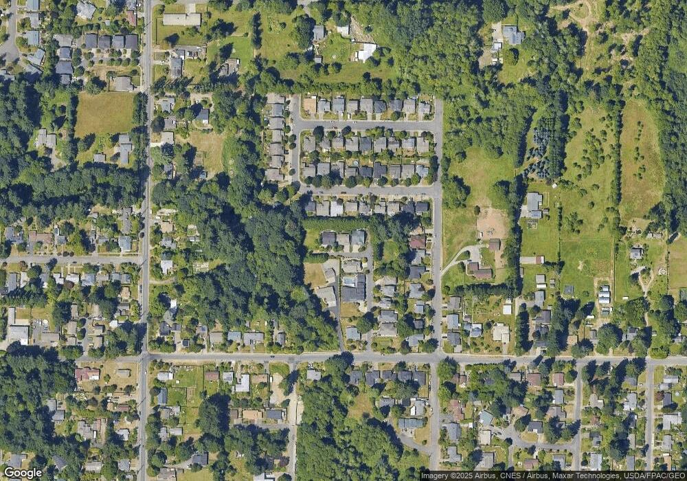
Map
Nearby Homes
- 2002 Marion St NE
- 1215 Jasper Ave NE
- 1405 Brandon Ct NE
- 2518 Barrington Ct NE
- 1725 Puget St NE
- 1832 Fairview St NE
- 1931 Miller Ave NE
- 1524 26th Ave NE
- 1209 Pioneer Ave NE
- 1714 Ann St NE
- 1618 Pear St NE
- 1334 Puget St NE
- 2505 Simon Ln NE
- 1919 Berry St NE
- 1705 Arbutus St NE
- 1347 Pear St NE
- 1907 E Bay Dr NE
- 718 Fir St NE
- 1405 NE East Bay Dr NE
- 1333 E Bay Dr NE
- 2048 Sable Ln NE
- 2040 Sable Ln NE
- 1615 Bright Star Way NE
- 1621 Bright Star Way NE
- 2041 Sable Ln NE
- 1609 Bright Star Way NE
- 1627 Bright Star Way NE
- 1603 Bright Star Way NE
- 1633 Bright Star Way NE
- 2013 Sable Ln NE
- 1639 Bright Star Way NE
- 1612 Miller Ave NE
- 2020 Sable Ln NE
- 1616 Bright Star Way NE
- 1622 Bright Star Way NE
- 2016 Sable Ln NE
- 1610 Bright Star Way NE
- 1645 Bright Star Way NE
- 1628 Bright Star Way NE
- 2037 Marion St NE