2044 Yorktown S Norristown, PA 19403
Estimated Value: $338,369 - $369,000
2
Beds
2
Baths
1,280
Sq Ft
$275/Sq Ft
Est. Value
About This Home
This home is located at 2044 Yorktown S, Norristown, PA 19403 and is currently estimated at $352,092, approximately $275 per square foot. 2044 Yorktown S is a home located in Montgomery County with nearby schools including Charles Blockson Middle School, Paul V Fly Elementary School, and East Norriton Middle School.
Ownership History
Date
Name
Owned For
Owner Type
Purchase Details
Closed on
Oct 29, 2009
Sold by
Hastie Daniela P and Hastie Ken Whitney
Bought by
Knieszewski Katricna L
Current Estimated Value
Home Financials for this Owner
Home Financials are based on the most recent Mortgage that was taken out on this home.
Original Mortgage
$175,200
Outstanding Balance
$114,282
Interest Rate
4.98%
Estimated Equity
$237,810
Purchase Details
Closed on
Mar 10, 2006
Sold by
Smith Vernita C
Bought by
Hastie Ii Ken Witney and Hastie Daniela P
Home Financials for this Owner
Home Financials are based on the most recent Mortgage that was taken out on this home.
Original Mortgage
$34,125
Interest Rate
6.28%
Purchase Details
Closed on
Apr 26, 1995
Sold by
Dorf Leslie R
Bought by
Hawe Linda A
Create a Home Valuation Report for This Property
The Home Valuation Report is an in-depth analysis detailing your home's value as well as a comparison with similar homes in the area
Home Values in the Area
Average Home Value in this Area
Purchase History
| Date | Buyer | Sale Price | Title Company |
|---|---|---|---|
| Knieszewski Katricna L | $225,000 | None Available | |
| Hastie Ii Ken Witney | $227,500 | None Available | |
| Hawe Linda A | $120,000 | -- |
Source: Public Records
Mortgage History
| Date | Status | Borrower | Loan Amount |
|---|---|---|---|
| Open | Knieszewski Katricna L | $175,200 | |
| Previous Owner | Hastie Ii Ken Witney | $34,125 |
Source: Public Records
Tax History Compared to Growth
Tax History
| Year | Tax Paid | Tax Assessment Tax Assessment Total Assessment is a certain percentage of the fair market value that is determined by local assessors to be the total taxable value of land and additions on the property. | Land | Improvement |
|---|---|---|---|---|
| 2025 | $5,445 | $111,440 | $25,610 | $85,830 |
| 2024 | $5,445 | $111,440 | $25,610 | $85,830 |
| 2023 | $5,383 | $111,440 | $25,610 | $85,830 |
| 2022 | $5,348 | $111,440 | $25,610 | $85,830 |
| 2021 | $5,316 | $111,440 | $25,610 | $85,830 |
| 2020 | $5,157 | $111,440 | $25,610 | $85,830 |
| 2019 | $5,042 | $111,440 | $25,610 | $85,830 |
| 2018 | $3,868 | $111,440 | $25,610 | $85,830 |
| 2017 | $4,760 | $111,440 | $25,610 | $85,830 |
| 2016 | $4,716 | $111,440 | $25,610 | $85,830 |
| 2015 | $4,370 | $111,440 | $25,610 | $85,830 |
| 2014 | $4,370 | $111,440 | $25,610 | $85,830 |
Source: Public Records
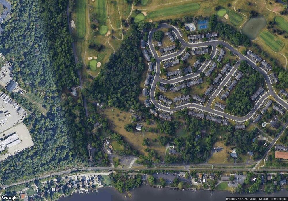
Map
Nearby Homes
- 570 Canterbury Rd
- 2060 Yorktown S
- 2017 Yorktown S
- 1914 Yorktown S
- 143 Riversedge Dr Unit CONDO 143
- 121 Woodstream Dr Unit CONDO 121
- 167 Woodstream Dr Unit CONDO 167
- 348 Glenn Rose Cir
- 278 Stone Ridge Dr
- 0 Roosevelt Blvd
- 478 Glenn Rose Cir
- 253 Stone Ridge Dr Unit 253
- 2302 Grant Ct
- 2008 Hemlock Rd
- 443 Brandon Rd
- 300 Norris Hall Ln Unit 300
- 706 Kennedy Ct Unit 706
- 735 Champlain Dr
- 391 Rittenhouse Blvd
- 2044 Mill Rd
- 2042 Yorktown S
- 2040 Yorktown S
- 2046 Yorktown S
- 2048 Yorktown S
- 2038 Yorktown S
- 2050 Yorktown S
- 2036 Yorktown S
- 2052 Yorktown S
- 2034 Yorktown S
- 2054 Yorktown S
- 2032 Yorktown S
- 2032 Yorktown S
- 2041 Yorktown S
- 2056 Yorktown S
- 2030 Yorktown S
- 2030 Yorktown S
- 2039 Yorktown S
- 2058 Yorktown S
- 2037 Yorktown S
- 572 Canterbury Rd