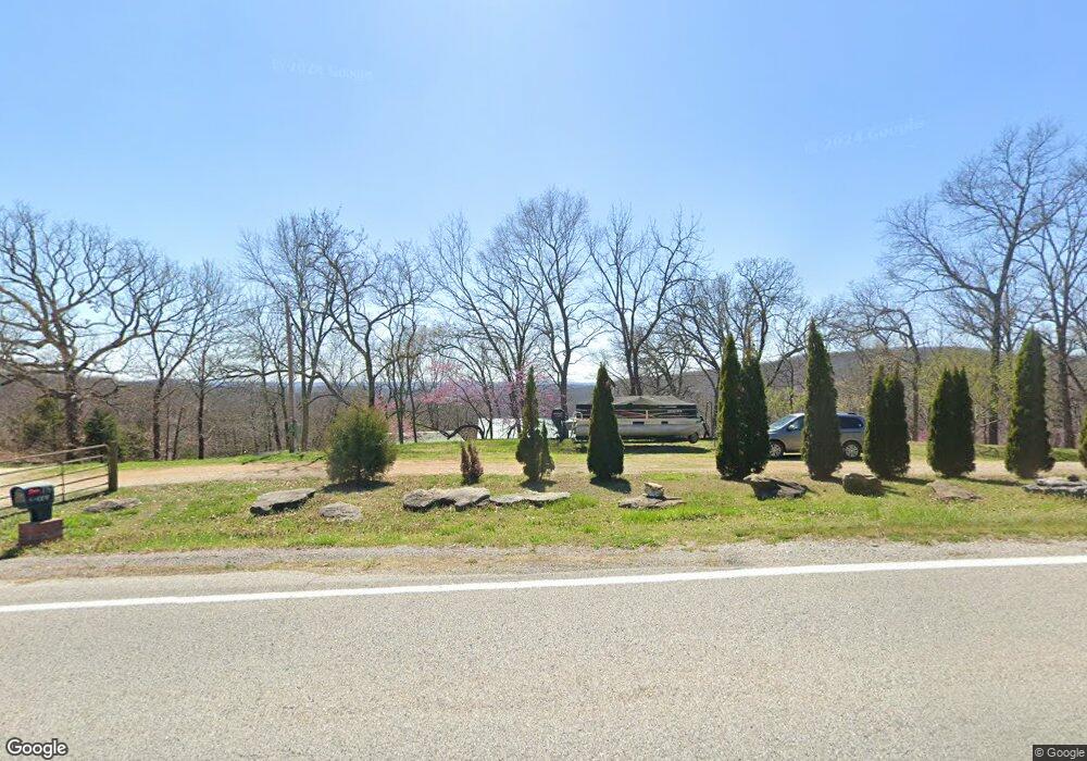
20441 N Highway 127 Garfield, AR 72732
Estimated Value: $323,000 - $515,286
--
Bed
1
Bath
1,634
Sq Ft
$261/Sq Ft
Est. Value
About This Home
This home is located at 20441 N Highway 127, Garfield, AR 72732 and is currently estimated at $426,072, approximately $260 per square foot. 20441 N Highway 127 is a home located in Benton County with nearby schools including Garfield Elementary School, Lingle Middle School, and Rogers Heritage High School.
Ownership History
Date
Name
Owned For
Owner Type
Purchase Details
Closed on
Oct 9, 2005
Sold by
Kifer Arwanna
Bought by
Knox Larry Neil and Knox Lisa M
Current Estimated Value
Home Financials for this Owner
Home Financials are based on the most recent Mortgage that was taken out on this home.
Original Mortgage
$132,050
Outstanding Balance
$86,427
Interest Rate
9.55%
Mortgage Type
Assumption
Estimated Equity
$339,645
Purchase Details
Closed on
Aug 6, 2002
Bought by
Kifer
Purchase Details
Closed on
Apr 18, 1995
Bought by
Presley
Purchase Details
Closed on
Oct 27, 1988
Bought by
Kemp
Purchase Details
Closed on
Jun 14, 1988
Bought by
1St Natl Bank
Purchase Details
Closed on
May 14, 1987
Bought by
Bullock W
Purchase Details
Closed on
Jun 24, 1977
Bought by
Bullock
Create a Home Valuation Report for This Property
The Home Valuation Report is an in-depth analysis detailing your home's value as well as a comparison with similar homes in the area
Home Values in the Area
Average Home Value in this Area
Purchase History
| Date | Buyer | Sale Price | Title Company |
|---|---|---|---|
| Knox Larry Neil | $139,000 | None Available | |
| Kifer | $112,000 | -- | |
| Presley | $21,000 | -- | |
| Kemp | $13,000 | -- | |
| 1St Natl Bank | -- | -- | |
| Bullock W | -- | -- | |
| Bullock | $16,000 | -- |
Source: Public Records
Mortgage History
| Date | Status | Borrower | Loan Amount |
|---|---|---|---|
| Open | Knox Larry Neil | $132,050 |
Source: Public Records
Tax History Compared to Growth
Tax History
| Year | Tax Paid | Tax Assessment Tax Assessment Total Assessment is a certain percentage of the fair market value that is determined by local assessors to be the total taxable value of land and additions on the property. | Land | Improvement |
|---|---|---|---|---|
| 2025 | $1,301 | $45,980 | $12,000 | $33,980 |
| 2024 | $1,171 | $45,980 | $12,000 | $33,980 |
| 2023 | $1,115 | $30,060 | $6,000 | $24,060 |
| 2022 | $1,026 | $30,060 | $6,000 | $24,060 |
| 2021 | $971 | $30,060 | $6,000 | $24,060 |
| 2020 | $919 | $22,950 | $4,160 | $18,790 |
| 2019 | $877 | $22,950 | $4,160 | $18,790 |
| 2018 | $782 | $22,950 | $4,160 | $18,790 |
| 2017 | $639 | $22,950 | $4,160 | $18,790 |
| 2016 | $639 | $22,950 | $4,160 | $18,790 |
| 2015 | $775 | $16,110 | $5,000 | $11,110 |
| 2014 | $565 | $16,110 | $5,000 | $11,110 |
Source: Public Records
Map
Nearby Homes
- 13103 Rosario Rd
- Lot 60 Lodge Dr
- 12627 Lodge Dr
- Lot 1 & 2 Timberline Dr
- 12483 Lodge Dr
- 21580 Indian Creek Dr
- 19807 N Highway 127
- 0 Summit Rd
- 0 SE Ventris Rd Unit 1269315
- 12210 Dogwood Dr
- 0 Sloan Hollow Rd
- L17 E Airport Dr
- 11928 White Oak Dr
- Lot 13 Dogwood Dr
- Lot 12 Dogwood Dr
- 0 Dogwood Dr Unit 1306956
- 13552 Indian Bow Cir
- Lot 59 W Airport Rd
- L75 W Airport Rd
- 13501 Arrow Ln
- 4.32 acres 127 Hwy
- 20465 N Highway 127
- 12869 Lodge Dr
- 0 Hwy 127
- 12823 Lodge Dr
- 12850 Lodge Dr
- 20206 N Highway 127
- 20201 N Highway 127
- 7.53 acres Oak Shadows Dr
- 6 acres Oak Shadows Dr
- Lot 19.20. Oak Ridge Dr
- 0 Lot 19 20 Oak Rdg Ln Unit 628663
- 20205 N Highway 127
- 0 Oak Ridge Lot 19-20 Dr Unit 605682
- Lot 124 Oak Shadows Dr
- 0 Oak Ridge Dr
- 20170 N Highway 127
- 20166 N Highway 127
- 28 Acres Shaffer Rd
- Lot 2 Shaffer Rd