20442 Whistle Punk Rd Bend, OR 97702
Southeast Bend NeighborhoodEstimated Value: $636,000 - $700,000
3
Beds
2
Baths
1,824
Sq Ft
$370/Sq Ft
Est. Value
About This Home
This home is located at 20442 Whistle Punk Rd, Bend, OR 97702 and is currently estimated at $675,750, approximately $370 per square foot. 20442 Whistle Punk Rd is a home located in Deschutes County with nearby schools including R.E. Jewell Elementary School, High Desert Middle School, and Morning Star Christian School.
Ownership History
Date
Name
Owned For
Owner Type
Purchase Details
Closed on
Nov 12, 2015
Sold by
Spurlock Glenn W and Spurlock Kathryn L
Bought by
Spurlock Glenn W and Spurlock Kathryn L
Current Estimated Value
Purchase Details
Closed on
Sep 29, 2011
Sold by
Hollander Mary Anne
Bought by
Spurlock Glenn W and Spurlock Kathryn L
Home Financials for this Owner
Home Financials are based on the most recent Mortgage that was taken out on this home.
Original Mortgage
$195,000
Outstanding Balance
$131,956
Interest Rate
4.09%
Mortgage Type
VA
Estimated Equity
$543,794
Create a Home Valuation Report for This Property
The Home Valuation Report is an in-depth analysis detailing your home's value as well as a comparison with similar homes in the area
Home Values in the Area
Average Home Value in this Area
Purchase History
| Date | Buyer | Sale Price | Title Company |
|---|---|---|---|
| Spurlock Glenn W | -- | None Available | |
| Spurlock Glenn W | $195,000 | Amerititle |
Source: Public Records
Mortgage History
| Date | Status | Borrower | Loan Amount |
|---|---|---|---|
| Open | Spurlock Glenn W | $195,000 |
Source: Public Records
Tax History Compared to Growth
Tax History
| Year | Tax Paid | Tax Assessment Tax Assessment Total Assessment is a certain percentage of the fair market value that is determined by local assessors to be the total taxable value of land and additions on the property. | Land | Improvement |
|---|---|---|---|---|
| 2025 | $5,218 | $340,370 | -- | -- |
| 2024 | $5,020 | $330,460 | -- | -- |
| 2023 | $4,654 | $320,840 | $0 | $0 |
| 2022 | $4,342 | $302,430 | $0 | $0 |
| 2021 | $4,348 | $293,630 | $0 | $0 |
| 2020 | $4,125 | $293,630 | $0 | $0 |
| 2019 | $3,488 | $251,380 | $0 | $0 |
| 2018 | $3,389 | $244,060 | $0 | $0 |
| 2017 | $3,356 | $236,960 | $0 | $0 |
| 2016 | $3,204 | $230,060 | $0 | $0 |
| 2015 | $3,117 | $223,360 | $0 | $0 |
| 2014 | $3,027 | $216,860 | $0 | $0 |
Source: Public Records
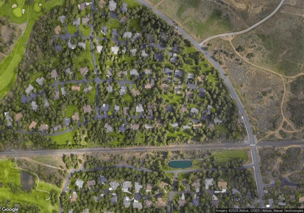
Map
Nearby Homes
- 20412 Buttermilk
- 61039 High Lead Dr
- 60781 Country Club Dr
- 20589 Ambrosia Ln
- 20430 Snowmass
- 60811 Windsor Dr
- 20375 Big Bear Ct
- 60785 Willow Creek Ct
- 61000 Brosterhous Rd Unit 574
- 60733 Willow Creek Loop
- 60701 Willow Creek Loop
- 20414 Murphy Rd
- 20457 Aberdeen Dr
- 61058 SE Marble Mountain Ln
- 60523 SE Hedgewood Ln
- The Jackson Plan at Countryside
- The Cascade Plan at Countryside
- 61168 SE Wagyu Dr Unit Lot 120
- 60494 Hedgewood Ln
- 20619 SE Boer Place SE Unit Lot 131
- 20436 Whistle Punk Rd
- 20454 Whistle Punk Rd
- 20445 Whistle Punk Rd
- 20451 Whistle Punk Rd
- 20443 Mainline Rd
- 20437 Whistle Punk Rd
- 20426 Whislte Punk Rd
- 20426 Whistle Punk Rd
- 20453 Mainline Rd
- 20427 Mainline Rd
- 20459 Whistle Punk Rd
- 20462 Whistle Punk Rd
- 20461 Mainline Rd
- 20419 Whistle Punk Rd
- 20419 Mainline Rd
- 20467 Whistle Punk Rd
- 20434 Mainline Rd
- 20469 SE Mainline
- 20452 Mainline Rd