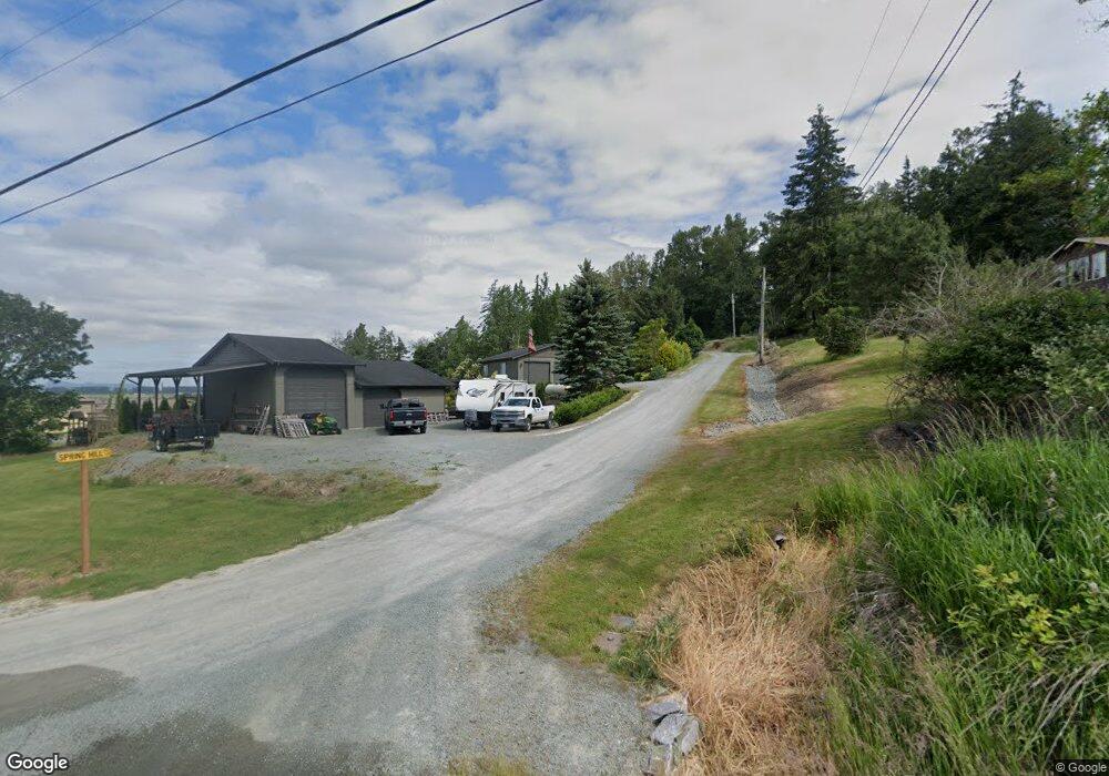
20444 Spring Hill Ln Mount Vernon, WA 98274
Estimated Value: $943,065 - $1,025,000
4
Beds
3
Baths
2,725
Sq Ft
$366/Sq Ft
Est. Value
About This Home
This home is located at 20444 Spring Hill Ln, Mount Vernon, WA 98274 and is currently estimated at $997,016, approximately $365 per square foot. 20444 Spring Hill Ln is a home located in Skagit County with nearby schools including Conway School.
Ownership History
Date
Name
Owned For
Owner Type
Purchase Details
Closed on
Aug 23, 2005
Sold by
Odell Jacqueline A and Higashi Poynter Jacqueline
Bought by
Olmsted Benjamin O and Olmsted Jennifer L
Current Estimated Value
Home Financials for this Owner
Home Financials are based on the most recent Mortgage that was taken out on this home.
Original Mortgage
$271,200
Outstanding Balance
$142,282
Interest Rate
5.64%
Mortgage Type
Fannie Mae Freddie Mac
Estimated Equity
$854,734
Create a Home Valuation Report for This Property
The Home Valuation Report is an in-depth analysis detailing your home's value as well as a comparison with similar homes in the area
Home Values in the Area
Average Home Value in this Area
Purchase History
| Date | Buyer | Sale Price | Title Company |
|---|---|---|---|
| Olmsted Benjamin O | $339,269 | First American Title Of Skag |
Source: Public Records
Mortgage History
| Date | Status | Borrower | Loan Amount |
|---|---|---|---|
| Open | Olmsted Benjamin O | $271,200 |
Source: Public Records
Tax History Compared to Growth
Tax History
| Year | Tax Paid | Tax Assessment Tax Assessment Total Assessment is a certain percentage of the fair market value that is determined by local assessors to be the total taxable value of land and additions on the property. | Land | Improvement |
|---|---|---|---|---|
| 2024 | $7,194 | $867,900 | $263,600 | $604,300 |
| 2023 | $7,493 | $800,000 | $246,300 | $553,700 |
| 2022 | $6,300 | $820,800 | $241,200 | $579,600 |
| 2021 | $6,187 | $638,000 | $183,000 | $455,000 |
| 2020 | $5,749 | $578,900 | $0 | $0 |
| 2019 | $4,902 | $536,200 | $0 | $0 |
| 2018 | $5,541 | $463,900 | $0 | $0 |
| 2015 | $4,216 | $366,900 | $121,400 | $245,500 |
| 2013 | $4,348 | $303,200 | $0 | $0 |
Source: Public Records
Map
Nearby Homes
- 20616 Bulson Rd
- 20434 Benson Ridge
- 20519 Benson Ridge Ln
- 20555 Benson Ridge
- 19687 Trophy Ln
- 22414 Bulson Rd
- 0 XX 00
- 22539 Fieldstone Ln
- 18340 Osprey Ct
- 18345 Osprey Ct
- 0 Milltown Crossing Rd Unit NWM2358059
- 0 Cedardale Rd Unit 11749606
- 23158 Bonnieview Rd
- 17406 Fir Island Rd
- 17609 S Skyridge Dr
- 21314 Starbird Rd
- 0 Anderson Rd
- 2312 Crosby Dr
- 19719 Dry Slough Rd
- 23330 State Route 534
- 20439 Spring Hill Ln
- 20400 Spring Hill Ln
- 20451 Heather Ln
- 20401 Spring Hill Ln
- 20152 Sinnes Rd
- 20525 Sinnes Rd
- 20429 Heather Ln
- 20428 Heather Ln
- 20184 Sinnes Rd
- 20429 Sinnes Rd
- 20450 Heather Ln
- 20119 Okerlund Dr
- 20057 Okerlund Dr
- 20625 Sinnes Rd
- 20127 Okerlund Dr
- 20456 Hill Creek Ln
- 20060 Okerlund Dr
- 20164 Okerlund Dr
- 20384 Hill Creek Ln
- 20165 Okerlund Dr