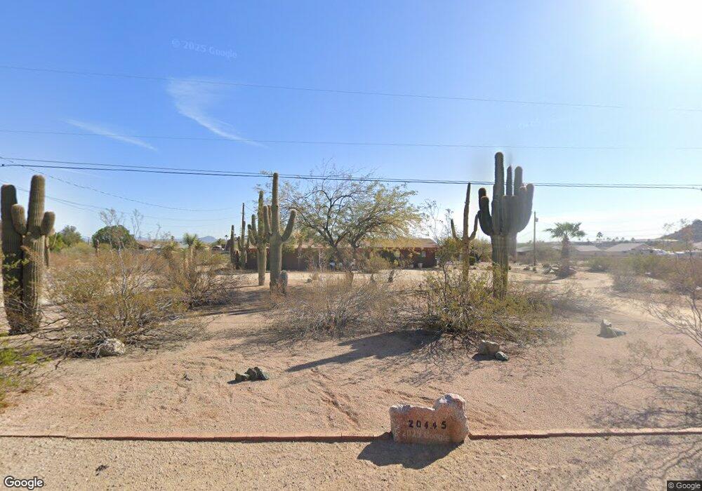
20445 N 20th St Phoenix, AZ 85024
Desert View NeighborhoodEstimated Value: $549,000 - $629,000
5
Beds
4
Baths
1,536
Sq Ft
$379/Sq Ft
Est. Value
About This Home
This home is located at 20445 N 20th St, Phoenix, AZ 85024 and is currently estimated at $581,962, approximately $378 per square foot. 20445 N 20th St is a home located in Maricopa County with nearby schools including Boulder Creek Elementary School, Mountain Trail Middle School, and Pinnacle High School.
Ownership History
Date
Name
Owned For
Owner Type
Purchase Details
Closed on
Nov 12, 2003
Sold by
Munson Robert C
Bought by
Palmer Thomas S and Palmer Mary L
Current Estimated Value
Home Financials for this Owner
Home Financials are based on the most recent Mortgage that was taken out on this home.
Original Mortgage
$208,000
Outstanding Balance
$96,429
Interest Rate
6%
Mortgage Type
New Conventional
Estimated Equity
$485,533
Create a Home Valuation Report for This Property
The Home Valuation Report is an in-depth analysis detailing your home's value as well as a comparison with similar homes in the area
Home Values in the Area
Average Home Value in this Area
Purchase History
| Date | Buyer | Sale Price | Title Company |
|---|---|---|---|
| Palmer Thomas S | $260,000 | Capital Title Agency Inc |
Source: Public Records
Mortgage History
| Date | Status | Borrower | Loan Amount |
|---|---|---|---|
| Open | Palmer Thomas S | $208,000 | |
| Closed | Palmer Thomas S | $26,000 |
Source: Public Records
Tax History
| Year | Tax Paid | Tax Assessment Tax Assessment Total Assessment is a certain percentage of the fair market value that is determined by local assessors to be the total taxable value of land and additions on the property. | Land | Improvement |
|---|---|---|---|---|
| 2025 | $1,370 | $15,824 | -- | -- |
| 2024 | $1,438 | $15,824 | -- | -- |
| 2023 | $1,438 | $24,460 | $4,890 | $19,570 |
| 2022 | $1,496 | $24,460 | $4,890 | $19,570 |
| 2021 | $1,521 | $22,880 | $4,570 | $18,310 |
| 2020 | $1,469 | $20,750 | $4,150 | $16,600 |
| 2019 | $1,475 | $19,720 | $3,940 | $15,780 |
| 2018 | $1,422 | $17,330 | $3,460 | $13,870 |
| 2017 | $1,358 | $15,960 | $3,190 | $12,770 |
| 2016 | $1,336 | $15,710 | $3,140 | $12,570 |
Source: Public Records
Map
Nearby Homes
- 1723 E Blackhawk Dr
- 1701 E Yukon Dr
- 20465 N 17th Way
- 2221 E Menadota Dr
- 24830 N 26th St
- 2239 E Escuda Rd
- 1711 E Behrend Dr
- 1737 E Samuel Dr
- 2233 E Behrend Dr Unit 45
- 2233 E Behrend Dr Unit 227
- 2233 E Behrend Dr Unit 15
- 2233 E Behrend Dr Unit 178
- 2233 E Behrend Dr Unit 61
- 2233 E Behrend Dr Unit 60
- 2233 E Behrend Dr Unit 211
- 2233 E Behrend Dr Unit 78
- 2233 E Behrend Dr Unit 219
- 2233 E Behrend Dr Unit 48
- 2233 E Behrend Dr Unit 41
- 2233 E Behrend Dr Unit 142
- 20435 N 20th St
- 20446 N 21st St
- 20609 N 20th St
- 20434 N 21st St
- 20620 N 21st St
- 20610 N 21st St
- 2020 E Tonopah Dr
- 2012 E Tonopah Dr
- 2032 E Tonopah Dr
- 20640 N 21st St
- 2050 E Tonopah Dr
- 2001 E Monona Dr
- 20445 N 21st St
- 20619 N 21st St
- 20609 N 21st St
- 20433 N 21st St
- 2009 E Tonopah Dr
- 2019 E Tonopah Dr
- 2047 E Monona Dr
- 20419 N 21st St
Your Personal Tour Guide
Ask me questions while you tour the home.