2045 Burning Bush Ln Conyers, GA 30094
Estimated Value: $378,221 - $543,000
3
Beds
3
Baths
3,360
Sq Ft
$142/Sq Ft
Est. Value
About This Home
This home is located at 2045 Burning Bush Ln, Conyers, GA 30094 and is currently estimated at $475,555, approximately $141 per square foot. 2045 Burning Bush Ln is a home located in Rockdale County with nearby schools including Shoal Creek Elementary School, Edwards Middle School, and Heritage High School.
Ownership History
Date
Name
Owned For
Owner Type
Purchase Details
Closed on
Apr 12, 2006
Sold by
Ross Mundy Custom Hms Inc
Bought by
Solomon Marilyn
Current Estimated Value
Home Financials for this Owner
Home Financials are based on the most recent Mortgage that was taken out on this home.
Original Mortgage
$61,490
Outstanding Balance
$35,193
Interest Rate
6.29%
Mortgage Type
New Conventional
Estimated Equity
$440,362
Create a Home Valuation Report for This Property
The Home Valuation Report is an in-depth analysis detailing your home's value as well as a comparison with similar homes in the area
Home Values in the Area
Average Home Value in this Area
Purchase History
| Date | Buyer | Sale Price | Title Company |
|---|---|---|---|
| Solomon Marilyn | $307,500 | -- |
Source: Public Records
Mortgage History
| Date | Status | Borrower | Loan Amount |
|---|---|---|---|
| Open | Solomon Marilyn | $61,490 | |
| Open | Solomon Marilyn | $245,960 |
Source: Public Records
Tax History Compared to Growth
Tax History
| Year | Tax Paid | Tax Assessment Tax Assessment Total Assessment is a certain percentage of the fair market value that is determined by local assessors to be the total taxable value of land and additions on the property. | Land | Improvement |
|---|---|---|---|---|
| 2024 | $5,024 | $199,720 | $37,080 | $162,640 |
| 2023 | $2,895 | $123,320 | $24,600 | $98,720 |
| 2022 | $2,758 | $118,000 | $24,600 | $93,400 |
| 2021 | $2,958 | $118,000 | $24,600 | $93,400 |
| 2020 | $3,066 | $117,200 | $23,800 | $93,400 |
| 2019 | $2,141 | $84,600 | $10,640 | $73,960 |
| 2018 | $2,155 | $84,600 | $10,640 | $73,960 |
| 2017 | $1,939 | $76,800 | $10,640 | $66,160 |
| 2016 | $1,789 | $76,800 | $10,640 | $66,160 |
| 2015 | $1,793 | $76,800 | $10,640 | $66,160 |
| 2014 | $1,600 | $76,800 | $10,640 | $66,160 |
| 2013 | -- | $105,960 | $20,000 | $85,960 |
Source: Public Records
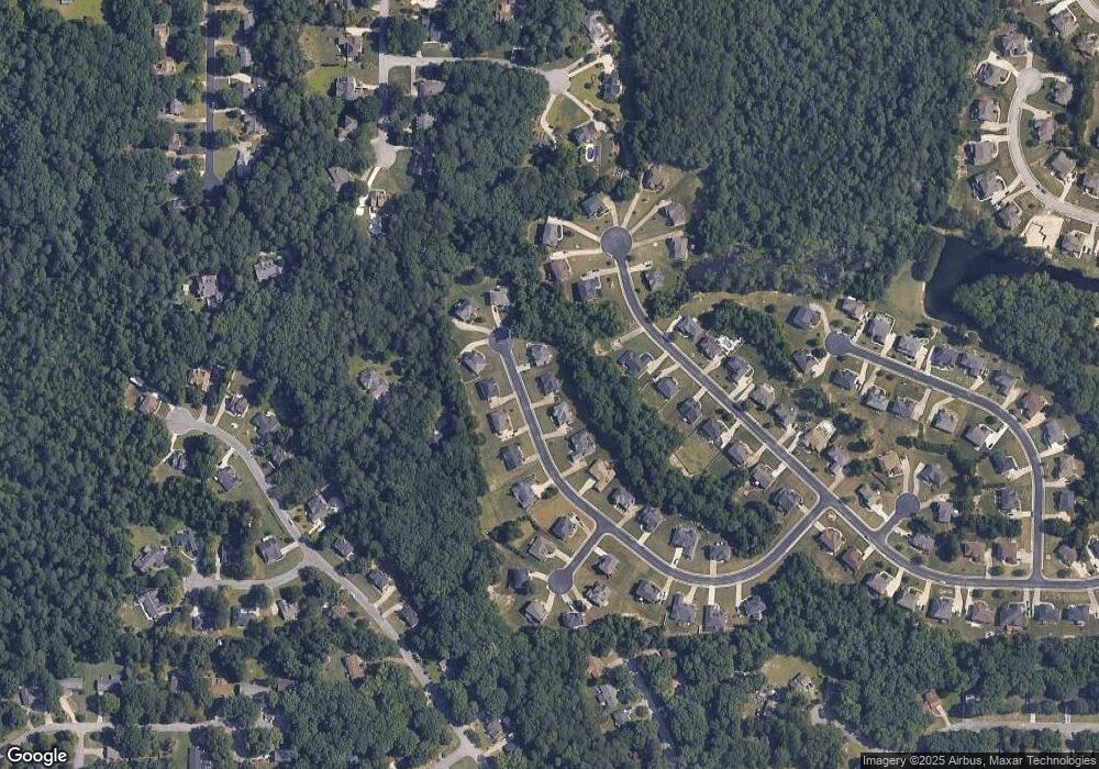
Map
Nearby Homes
- 2289 Amberbrook Dr SW
- 1700 Carissa Dr
- 1509 Shoal Creek Dr SW
- 2318 Hedgeview Rd
- 0 Granade Rd SW Unit 10430605
- 0 Granade Rd SW Unit 10430608
- 0 Granade Rd SW Unit 23687414
- 0 Granade Rd SW Unit 10430607
- 0 Granade Rd SW Unit 10430610
- 0 Granade Rd SW Unit 10430604
- 2095 Flat Shoals Rd SW
- 2477 Laurel Ridge Place SW
- 2505 Laurel Ridge Place SW
- 1779 Granade Rd SW
- 1993 Old Smyrna Rd SW
- 2956 Loch Lomond Dr
- 1841 Flat Shoals Rd SW
- 1400 Ebenezer Rd SW
- 1377 Hill Dr SW
- 2055 Smyrna Rd SW
- 2041 Burning Bush Ln
- 2049 Burning Bush Ln
- 2049 Burning Bush Ln
- 2035 Burning Bush Ln
- 1753 Carissa Dr
- 2046 Burning Bush Ln
- 1757 Carissa Dr Unit 55
- 1757 Carissa Dr
- 2042 Burning Bush Ln Unit 34
- 2042 Burning Bush Ln
- 1751 Carissa Dr
- 2031 Burning Bush Ln
- 2050 Burning Bush Ln
- 2038 Burning Bush Ln
- 1759 Carissa Dr
- 2053 Burning Bush Ln
- 1749 Carissa Dr
- 2027 Burning Bush Ln
- 2034 Burning Bush Ln
- 1754 Carissa Dr