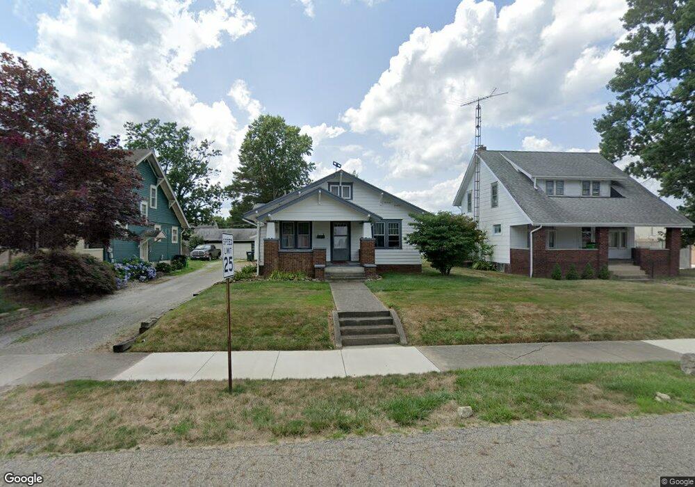
2045 Center Ave Alliance, OH 44601
Estimated Value: $133,828 - $177,000
3
Beds
1
Bath
1,084
Sq Ft
$138/Sq Ft
Est. Value
About This Home
This home is located at 2045 Center Ave, Alliance, OH 44601 and is currently estimated at $149,457, approximately $137 per square foot. 2045 Center Ave is a home located in Stark County with nearby schools including Alliance Elementary School at Rockhill, Alliance Intermediate School at Northside, and Alliance Middle School.
Ownership History
Date
Name
Owned For
Owner Type
Purchase Details
Closed on
Feb 28, 2005
Sold by
Whitacre Shirley A
Bought by
Whitacre James G
Current Estimated Value
Home Financials for this Owner
Home Financials are based on the most recent Mortgage that was taken out on this home.
Original Mortgage
$52,500
Interest Rate
5.7%
Mortgage Type
Stand Alone Refi Refinance Of Original Loan
Purchase Details
Closed on
Aug 2, 1991
Create a Home Valuation Report for This Property
The Home Valuation Report is an in-depth analysis detailing your home's value as well as a comparison with similar homes in the area
Home Values in the Area
Average Home Value in this Area
Purchase History
| Date | Buyer | Sale Price | Title Company |
|---|---|---|---|
| Whitacre James G | -- | Lawyers Title Insurance Corp | |
| -- | $45,000 | -- |
Source: Public Records
Mortgage History
| Date | Status | Borrower | Loan Amount |
|---|---|---|---|
| Closed | Whitacre James G | $52,500 |
Source: Public Records
Tax History Compared to Growth
Tax History
| Year | Tax Paid | Tax Assessment Tax Assessment Total Assessment is a certain percentage of the fair market value that is determined by local assessors to be the total taxable value of land and additions on the property. | Land | Improvement |
|---|---|---|---|---|
| 2025 | -- | $33,780 | $6,510 | $27,270 |
| 2024 | -- | $33,780 | $6,510 | $27,270 |
| 2023 | $969 | $24,120 | $6,060 | $18,060 |
| 2022 | $976 | $24,120 | $6,060 | $18,060 |
| 2021 | $977 | $24,120 | $6,060 | $18,060 |
| 2020 | $923 | $21,280 | $5,250 | $16,030 |
| 2019 | $909 | $21,290 | $5,250 | $16,040 |
| 2018 | $914 | $21,290 | $5,250 | $16,040 |
| 2017 | $825 | $18,900 | $4,410 | $14,490 |
| 2016 | $832 | $18,900 | $4,410 | $14,490 |
| 2015 | $839 | $18,900 | $4,410 | $14,490 |
| 2014 | $878 | $18,840 | $4,380 | $14,460 |
| 2013 | $438 | $18,840 | $4,380 | $14,460 |
Source: Public Records
Map
Nearby Homes
- 2050 Federal Ave
- 2112 Blenheim Ave
- 2220 Western Ave
- 884 W College Rd
- 1059 Oakwood Dr
- 1201 Overlook Dr
- 1515 S Rockhill Ave
- 1321 Parkway Blvd
- 1038 Fairview Place
- 2839 S Rockhill Ave
- 970 Kingsway St
- 0 Winchester St
- 0 Winchester St Unit 5162877
- 738 Kingsway St
- 3101 Ridgehill Ave
- 896 Parkway Blvd
- 2081 Marwood Cir
- 1325 W Beech St
- 734 Parkway Blvd
- 1430 Westwood Ave
- 2055 Center Ave
- 2035 Center Ave
- 2067 Center Ave
- 2073 Center Ave
- 1306 W State St
- 2048 Blenheim Ave
- 2034 Blenheim Ave
- 2066 Blenheim Ave
- 2054 Center Ave
- 1320 W State St
- 2072 Blenheim Ave
- 2070 Center Ave
- 2091 Center Ave
- 1360 W State St
- 1372 W State St
- 1370 W State St
- 2084 Center Ave
- 1380 W State St
- 2082 Blenheim Ave
- 2095 Center Ave