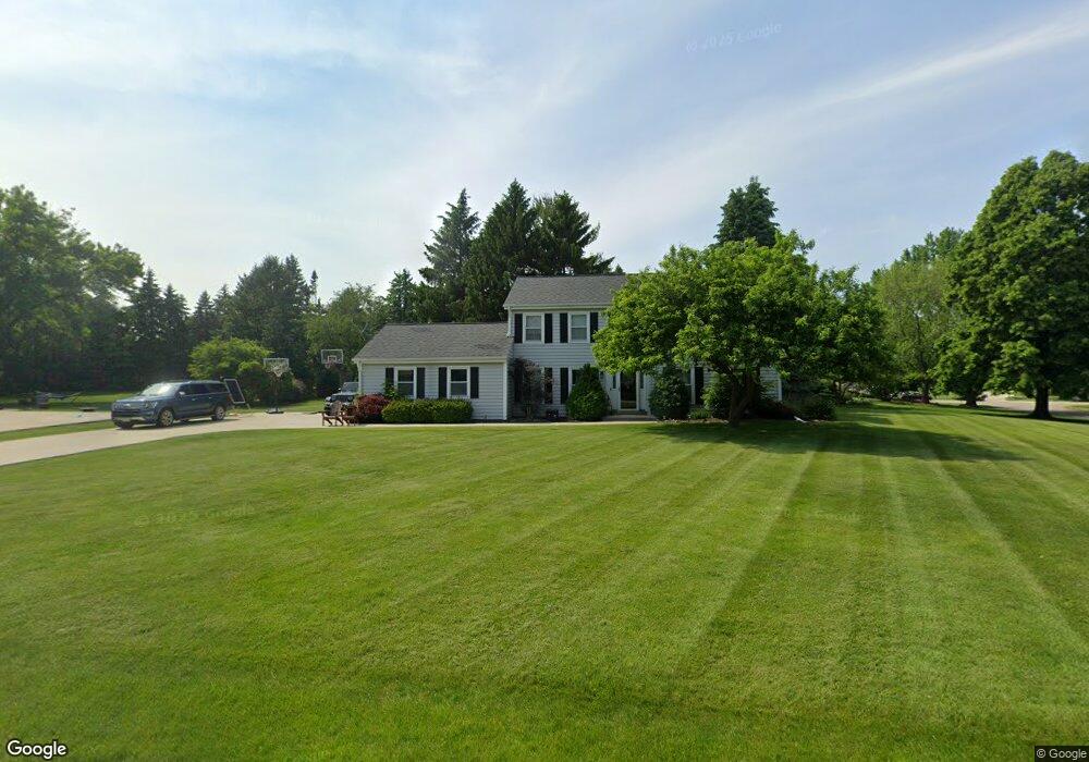
2045 Cotton Tail Ln Brookfield, WI 53045
Estimated Value: $544,000 - $583,309
4
Beds
3
Baths
2,224
Sq Ft
$252/Sq Ft
Est. Value
About This Home
This home is located at 2045 Cotton Tail Ln, Brookfield, WI 53045 and is currently estimated at $559,577, approximately $251 per square foot. 2045 Cotton Tail Ln is a home located in Waukesha County with nearby schools including Brookfield Elementary School, Wisconsin Hills Middle School, and Brookfield Central High School.
Ownership History
Date
Name
Owned For
Owner Type
Purchase Details
Closed on
May 11, 2016
Sold by
Lambie John S and Lambie Gina D
Bought by
Williams Joshua and Williams Sylvia
Current Estimated Value
Home Financials for this Owner
Home Financials are based on the most recent Mortgage that was taken out on this home.
Original Mortgage
$280,000
Outstanding Balance
$222,390
Interest Rate
3.59%
Mortgage Type
New Conventional
Estimated Equity
$337,187
Create a Home Valuation Report for This Property
The Home Valuation Report is an in-depth analysis detailing your home's value as well as a comparison with similar homes in the area
Home Values in the Area
Average Home Value in this Area
Purchase History
| Date | Buyer | Sale Price | Title Company |
|---|---|---|---|
| Williams Joshua | $350,000 | None Available |
Source: Public Records
Mortgage History
| Date | Status | Borrower | Loan Amount |
|---|---|---|---|
| Open | Williams Joshua | $280,000 |
Source: Public Records
Tax History Compared to Growth
Tax History
| Year | Tax Paid | Tax Assessment Tax Assessment Total Assessment is a certain percentage of the fair market value that is determined by local assessors to be the total taxable value of land and additions on the property. | Land | Improvement |
|---|---|---|---|---|
| 2024 | $5,016 | $451,100 | $135,000 | $316,100 |
| 2023 | $5,016 | $451,100 | $135,000 | $316,100 |
| 2022 | $5,256 | $369,100 | $130,000 | $239,100 |
| 2021 | $5,566 | $369,100 | $130,000 | $239,100 |
| 2020 | $5,810 | $369,100 | $130,000 | $239,100 |
| 2019 | $5,580 | $369,100 | $130,000 | $239,100 |
| 2018 | $4,633 | $300,100 | $120,000 | $180,100 |
| 2017 | $4,642 | $300,100 | $120,000 | $180,100 |
| 2016 | $4,709 | $300,100 | $120,000 | $180,100 |
| 2015 | $4,686 | $300,100 | $120,000 | $180,100 |
| 2014 | $4,692 | $300,100 | $120,000 | $180,100 |
| 2013 | $4,860 | $300,100 | $120,000 | $180,100 |
Source: Public Records
Map
Nearby Homes
- 21380 Woodchuck Ln
- 21905 W North Ave
- 21965 Valiant Dr
- N19W22081 Foxview Ct Unit 2B
- 21300 Astolat Dr
- 2410 Talbots Ln
- 20780 Tennyson Dr
- W223N2314 Meadowood Ln
- 21330 Hollycrest Ct
- N18W22670 Watertown Rd Unit Bld 1,2,3
- W225N2516 Alderwood Ln
- 7034 Stonewood Ln
- 7038 Stonewood Ln
- 7018 Stonewood Ln
- 7022 Stonewood Ln
- W225N2549 Alderwood Ln
- 1660 Constitution Dr
- W222N2872 Timberwood Ct
- 20025 Freedom Ct
- 950 N Barker Rd
- 2015 Cotton Tail Ln
- 2025 Hammock Hill Ln
- 21645 W North Ave
- 2020 Cotton Tail Ln
- 2060 Hammock Hill Ln
- 1990 Cotton Tail Ln
- 21630 Mallard Ct
- 21685 W North Ave
- 2100 Hammock Hill Ln
- 21495 Woodchuck Ln
- 21660 Mallard Ct
- 1960 Cotton Tail Ln
- 21500 Partridge Ct
- 21470 Woodchuck Ln
- 21715 W North Ave
- 21480 Partridge Ct
- 21465 Woodchuck Ln
- 21700 Mallard Ct
- 2115 Chipmunk Ct
- 21600 W North Ave